The Grand Canyon of the Tuolumne (Yosemite)
There are places where time feels different — where granite walls, rushing rivers, and endless switchbacks conspire to remind you how small you are. The Grand Canyon of the Tuolumne is one of those places. Over four days of backpacking, I followed the river’s path, climbed up steep ridges, descended into cool forests, and walked in awe beneath Yosemite’s signature domes.
Day 0 - Getting Ready
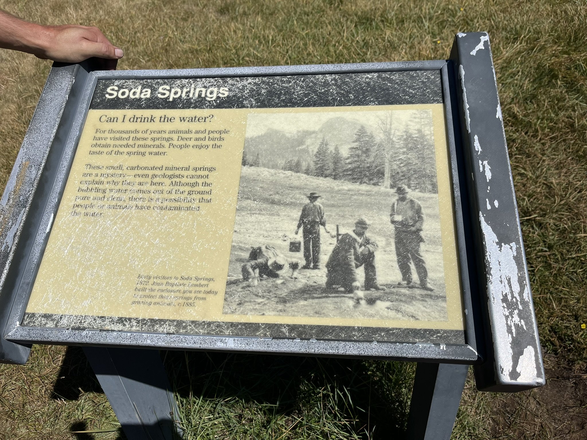
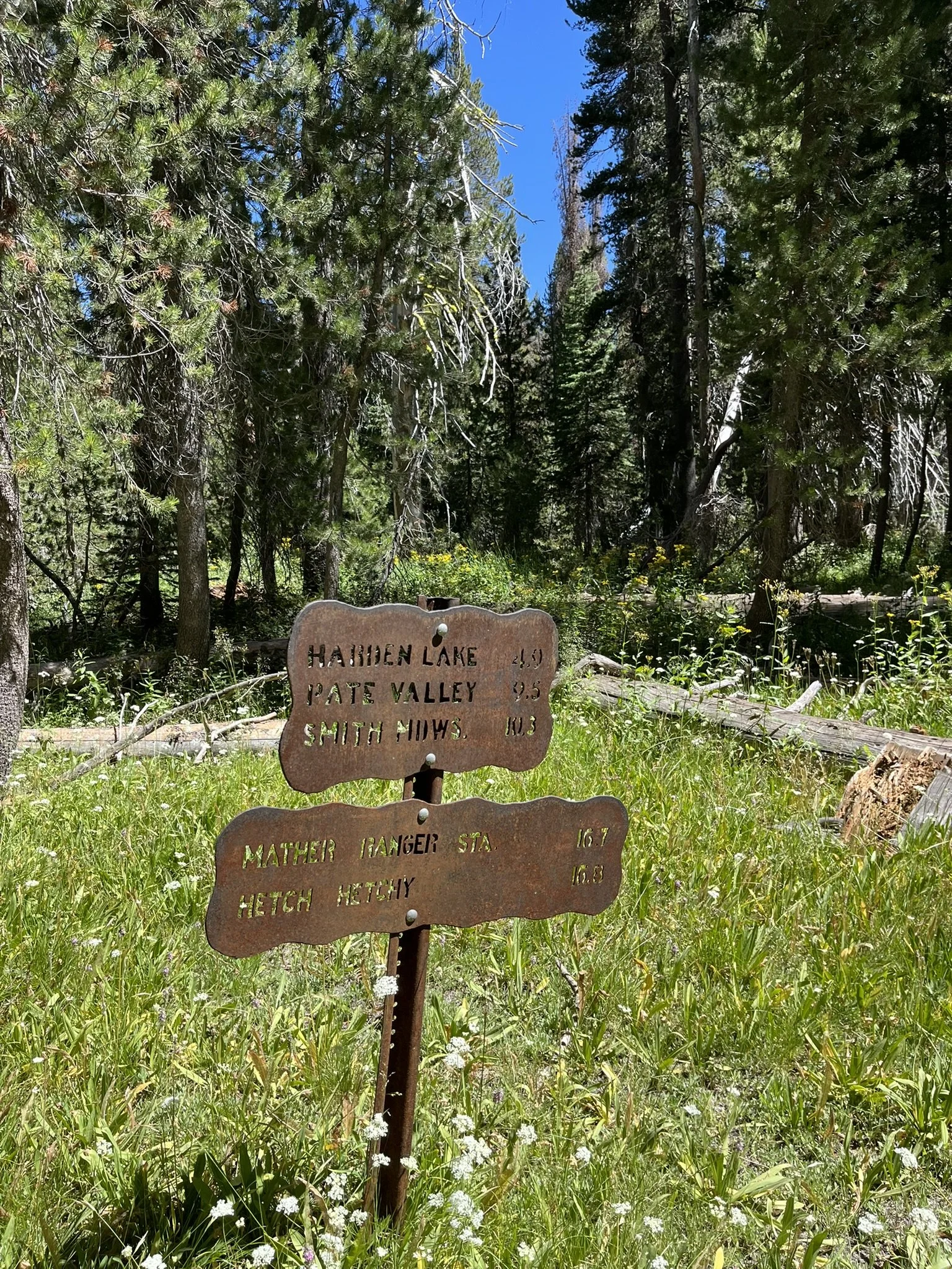
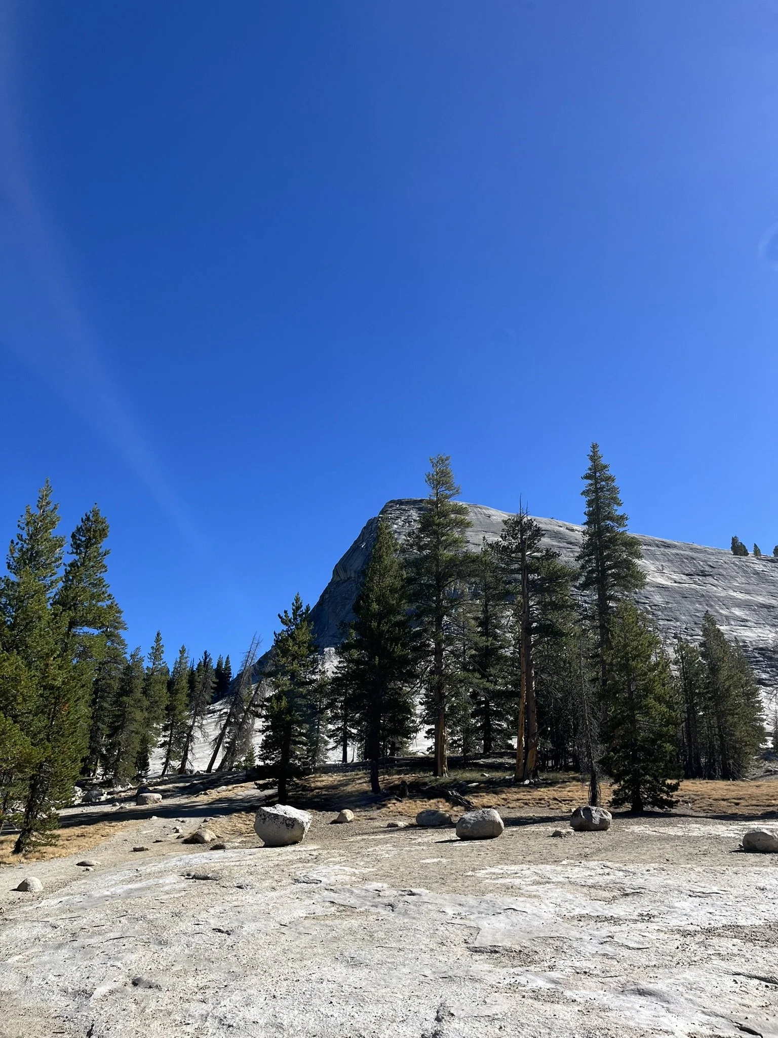
The area is quite remote, about 5–6 hours driving from the Bay Area, and the Grand Canyon of the Tuolumne demands fresh legs and an early start. That’s why it’s best to arrive the day before and spend the night close to where you’ll begin. There are two main options, depending on how you want to organize your hike: Tuolumne Meadows Campground or White Wolf Campground. Since the meeting point with my hiking group was at the Lembert Dome parking lot, Tuolumne Meadows was the natural choice to me.
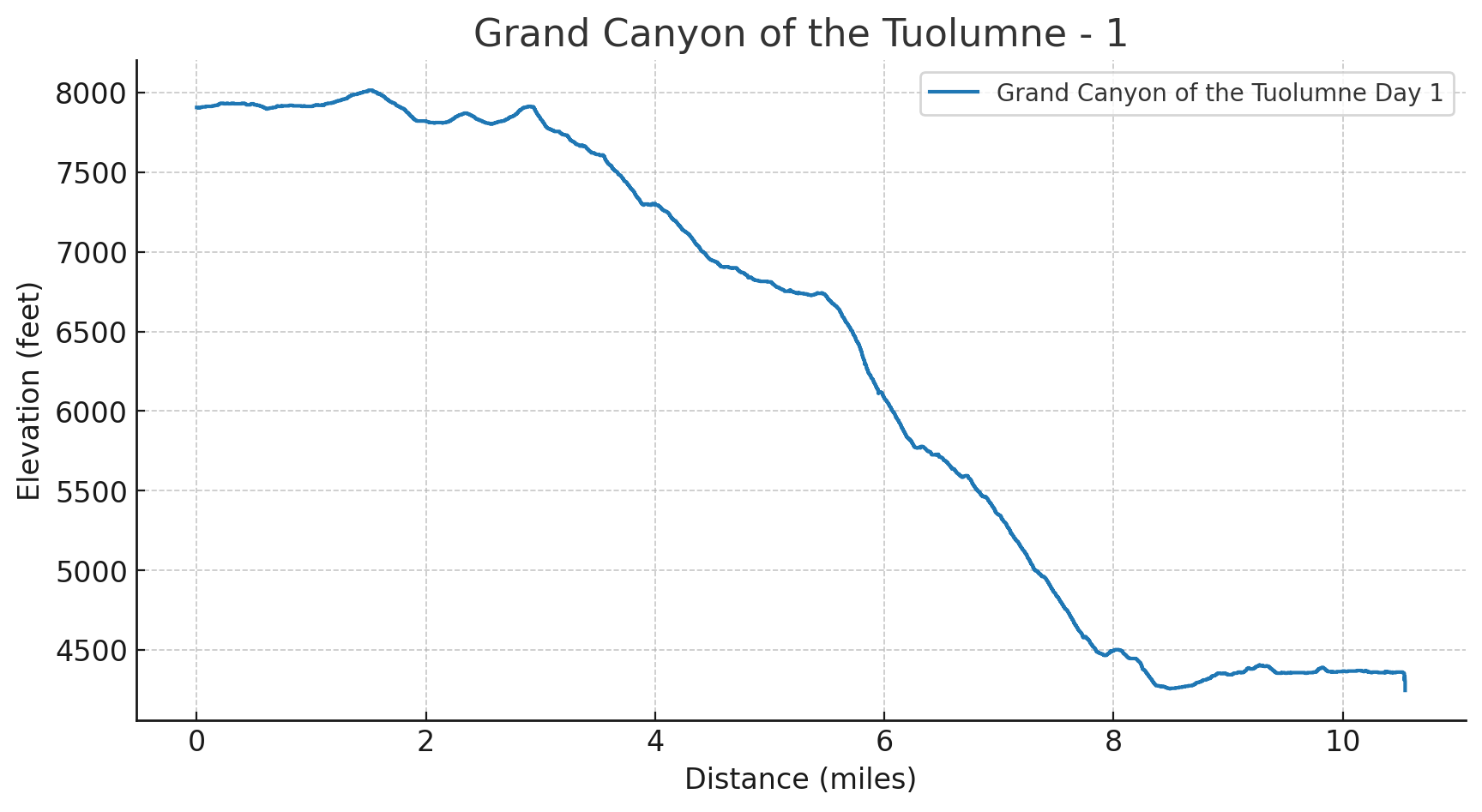
Day 1 – Stepping Into the Canyon
Distance: 10.5 miles
Elevation Gain: 1,188 ft | Loss: 4,849 ft
Start Elevation: 7,907 ft | End Elevation: 4,245 ft
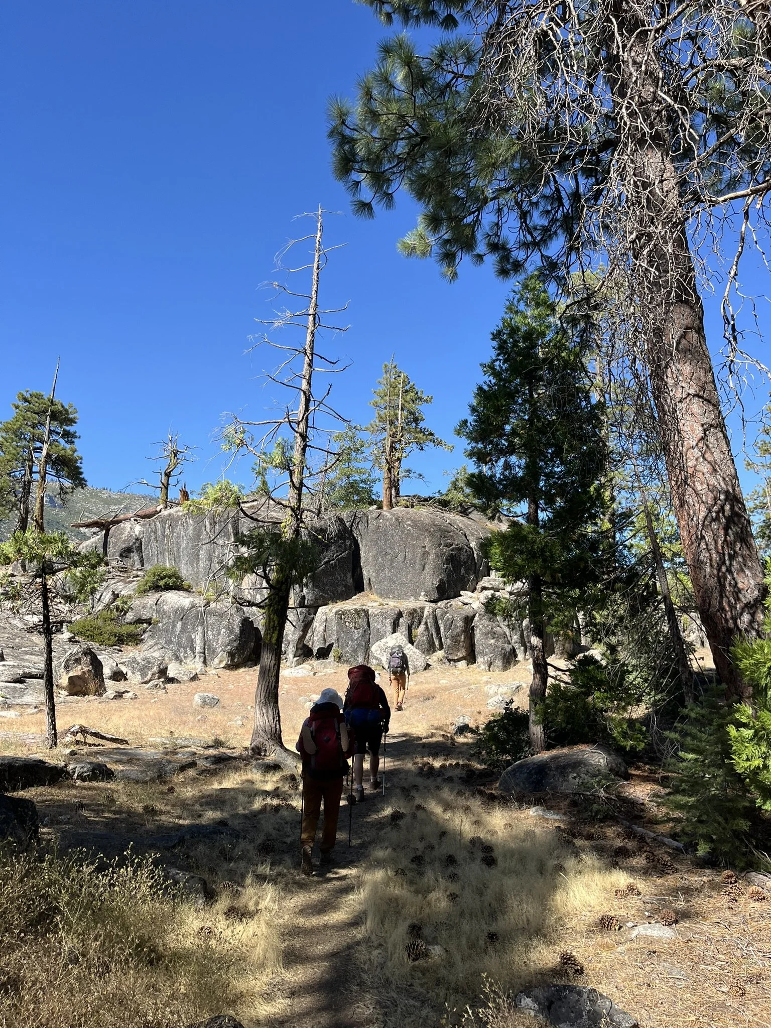
I met my hiking group at the Lembert Dome parking lot. After a quick briefing, we distributed the camping gear among our backpacks — bear cans, stoves, food, and all the essentials. Once ready, we left half of the cars at Lembert Dome and then drove about 40 minutes to White Wolf Campground, where the trailhead is.
You might wonder: why didn’t we just spend the night at White Wolf Campground then? That’s certainly an option. But the group meeting point was a factor, and personally I think Tuolumne Meadows is the prettier choice — it also offers a few conveniences, like a small shop and a grill that makes for a good breakfast stop.
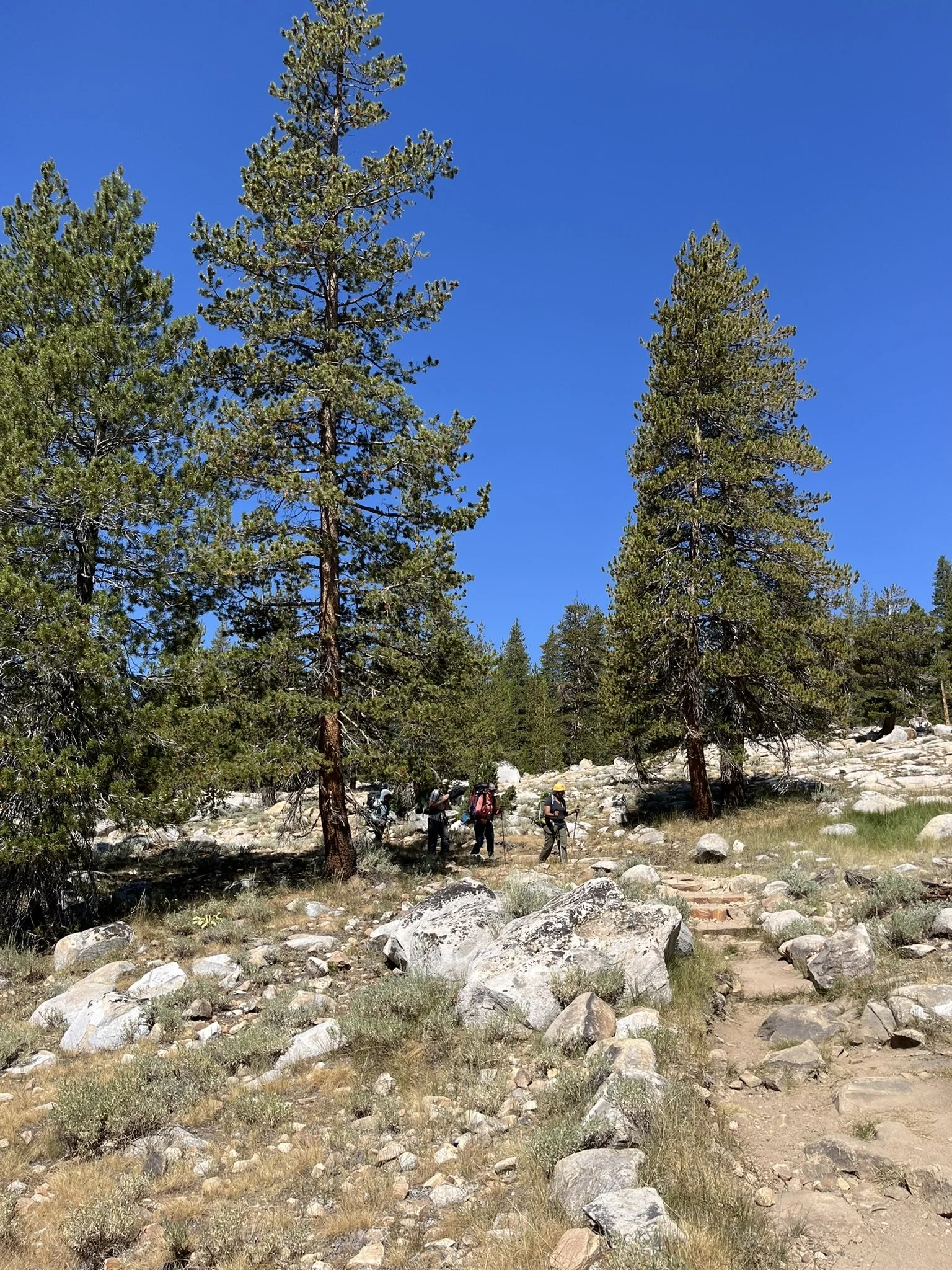
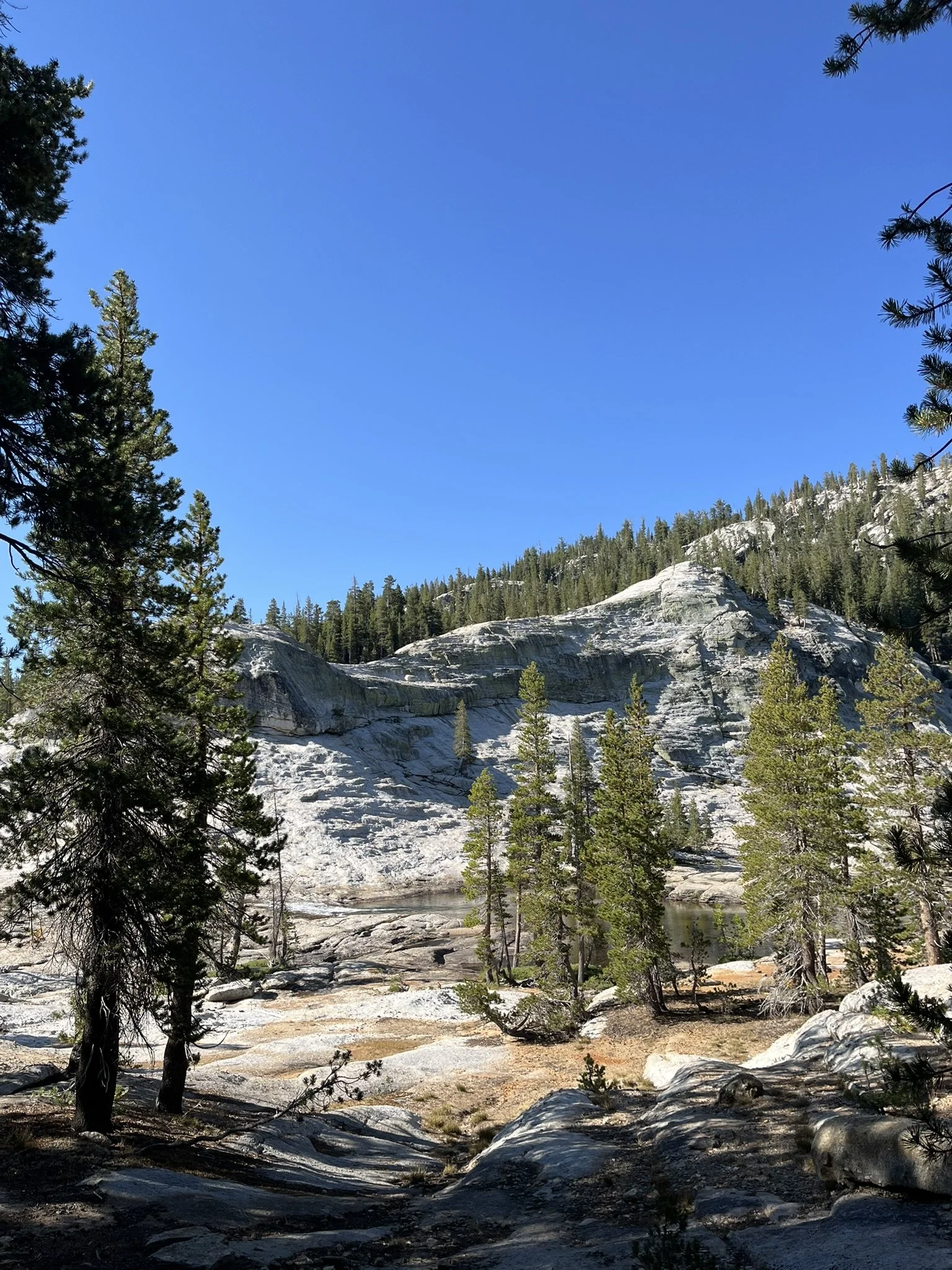
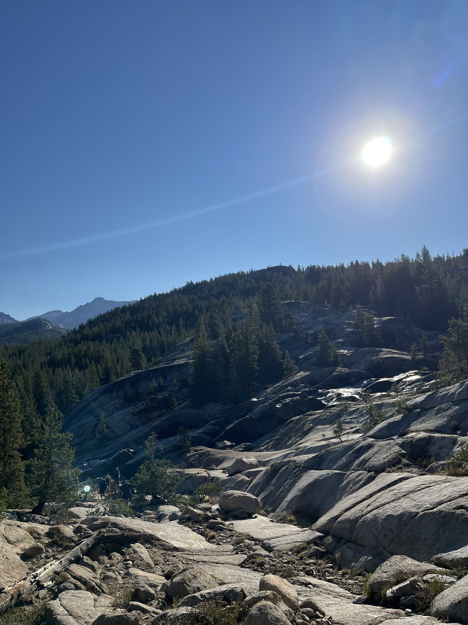
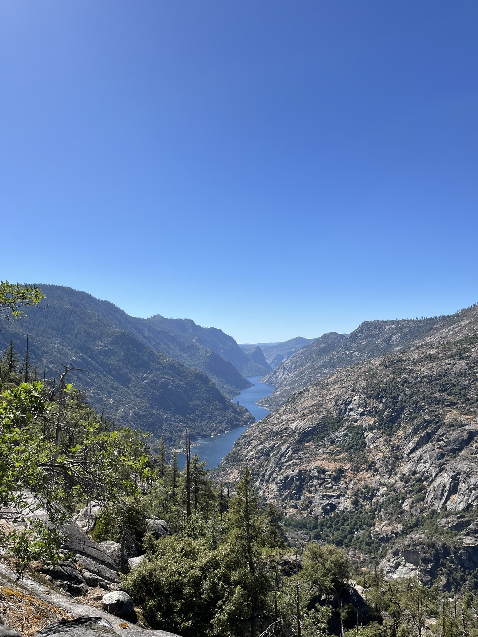
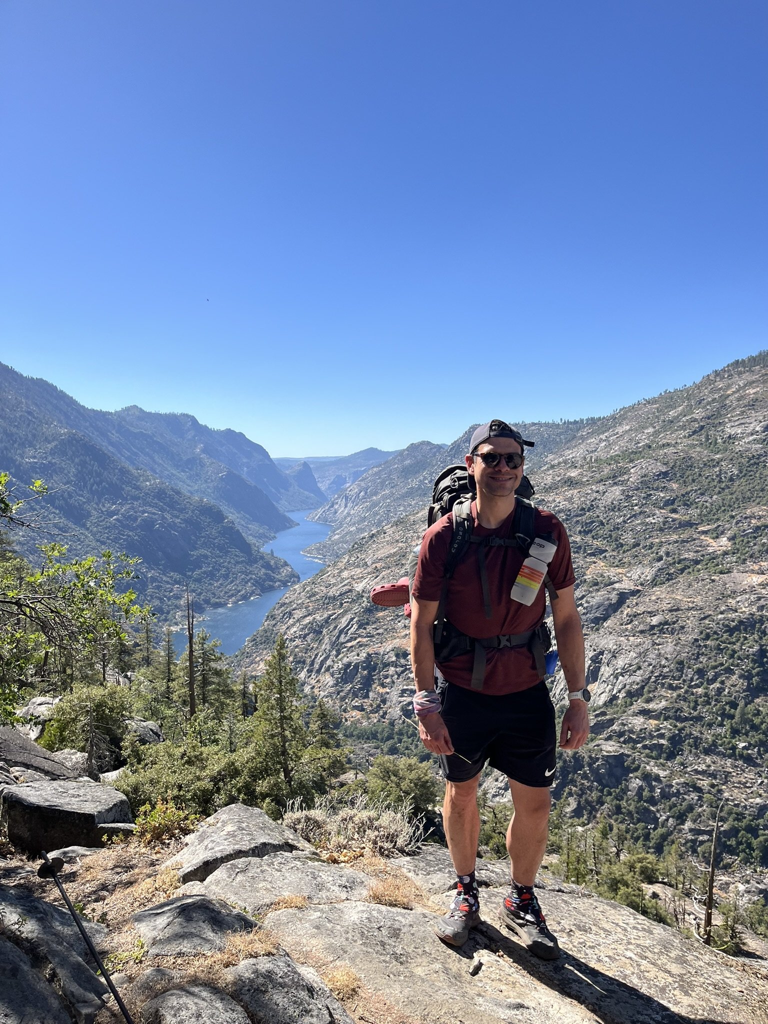
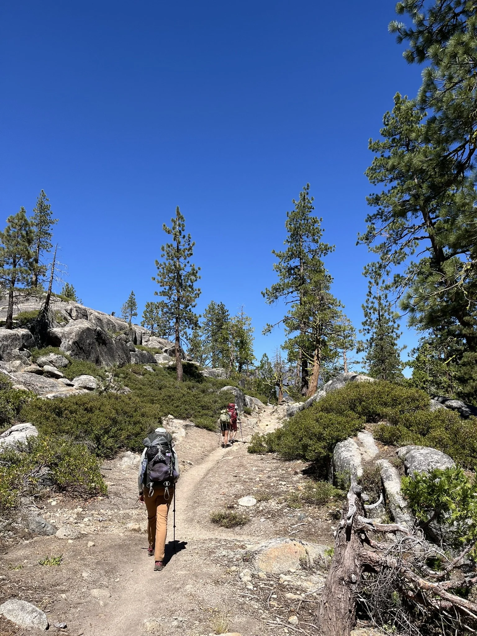
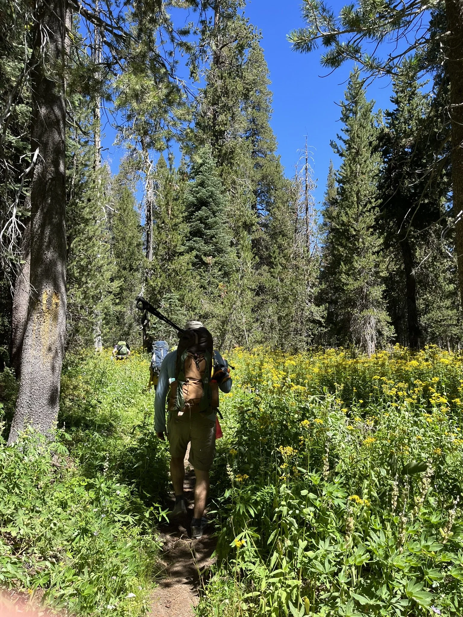
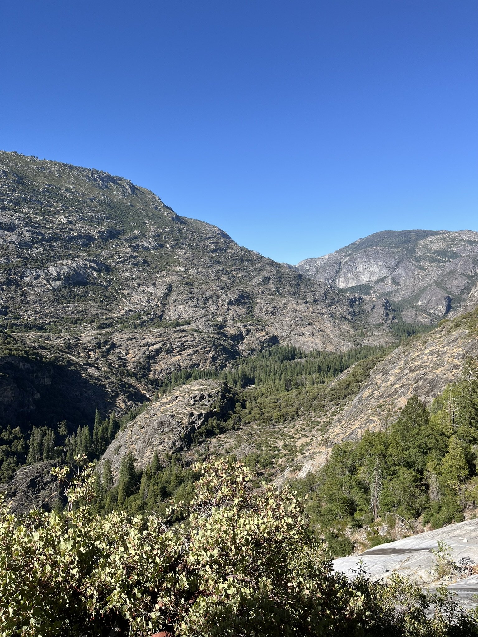
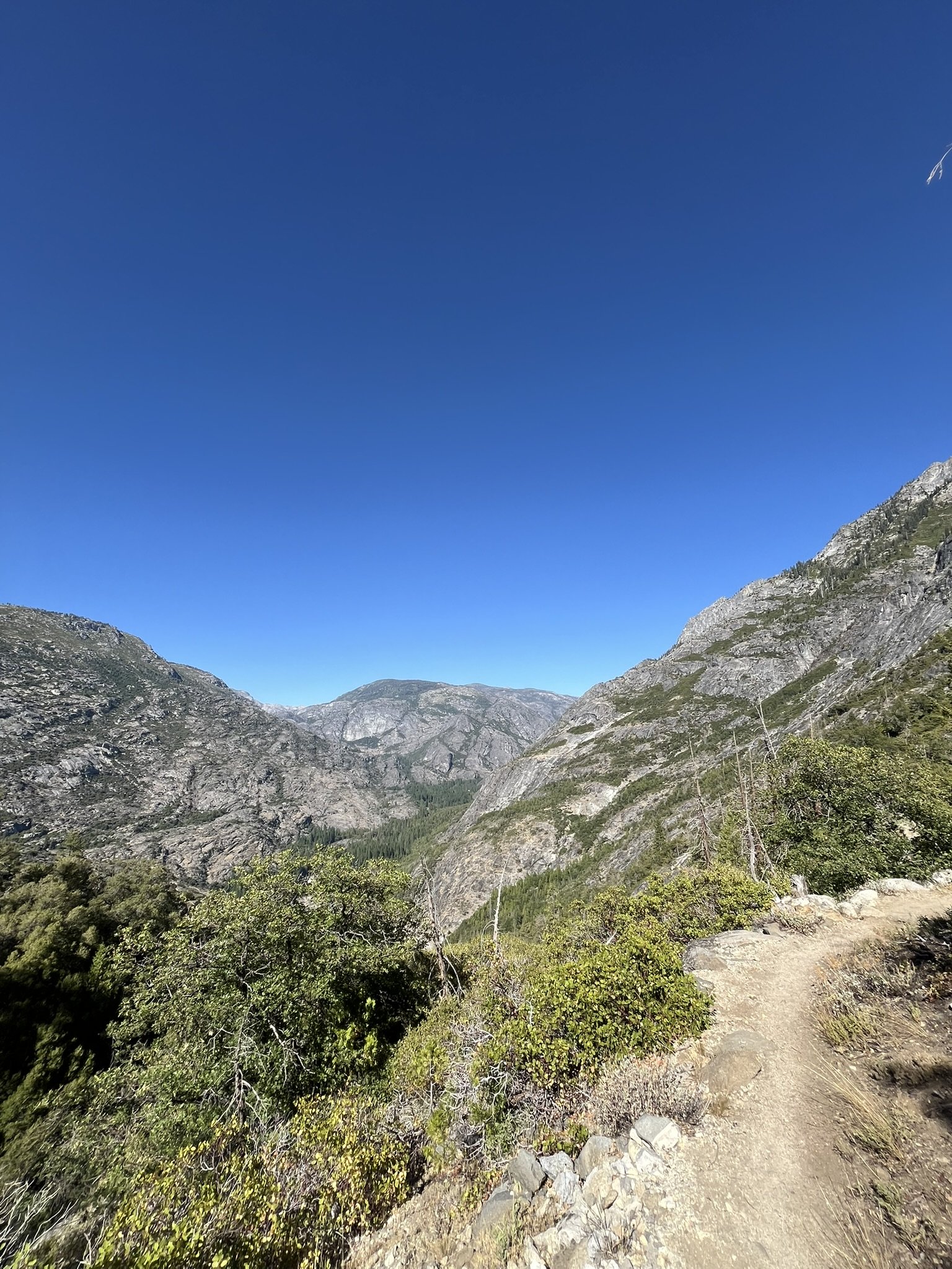
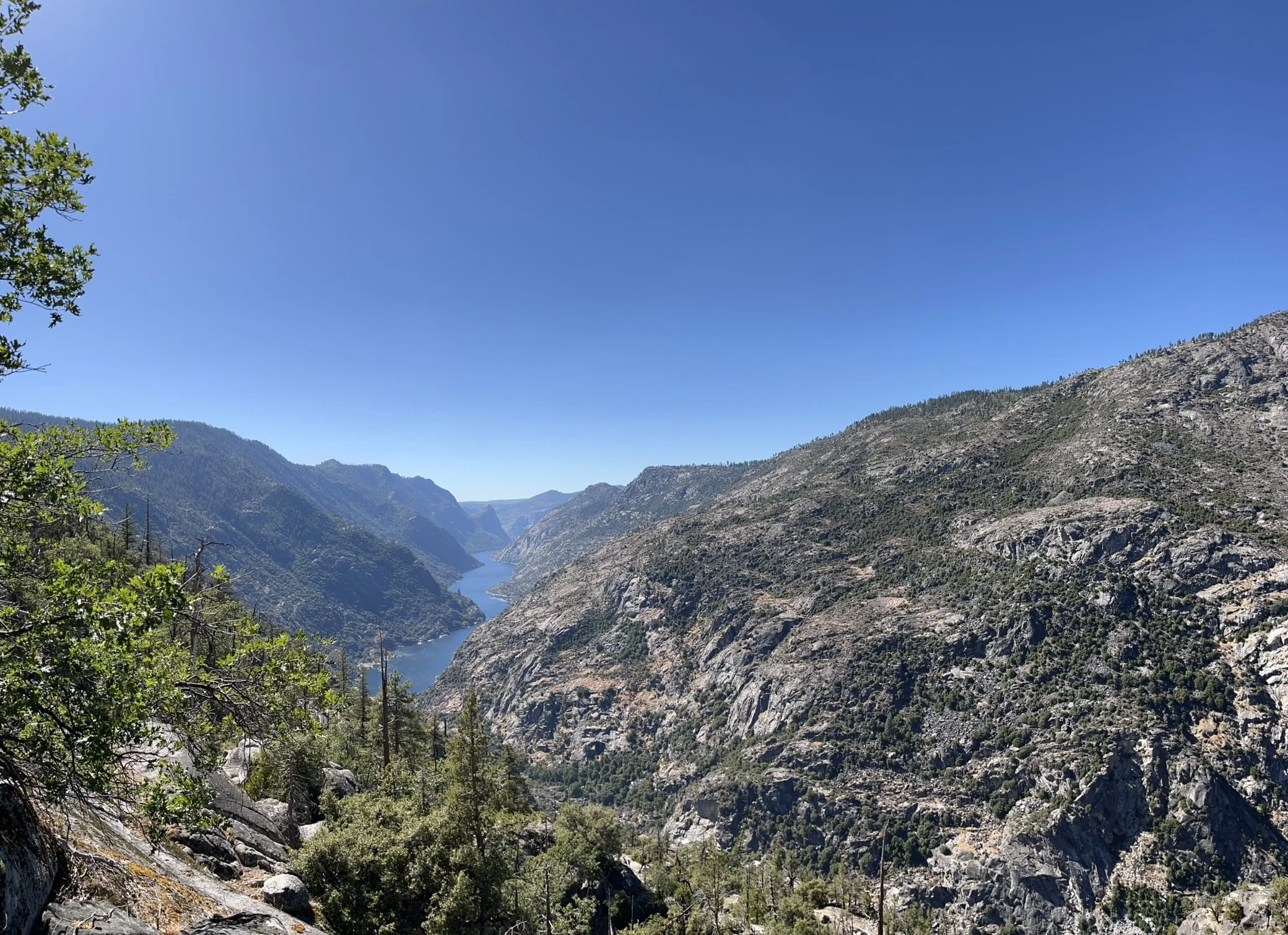
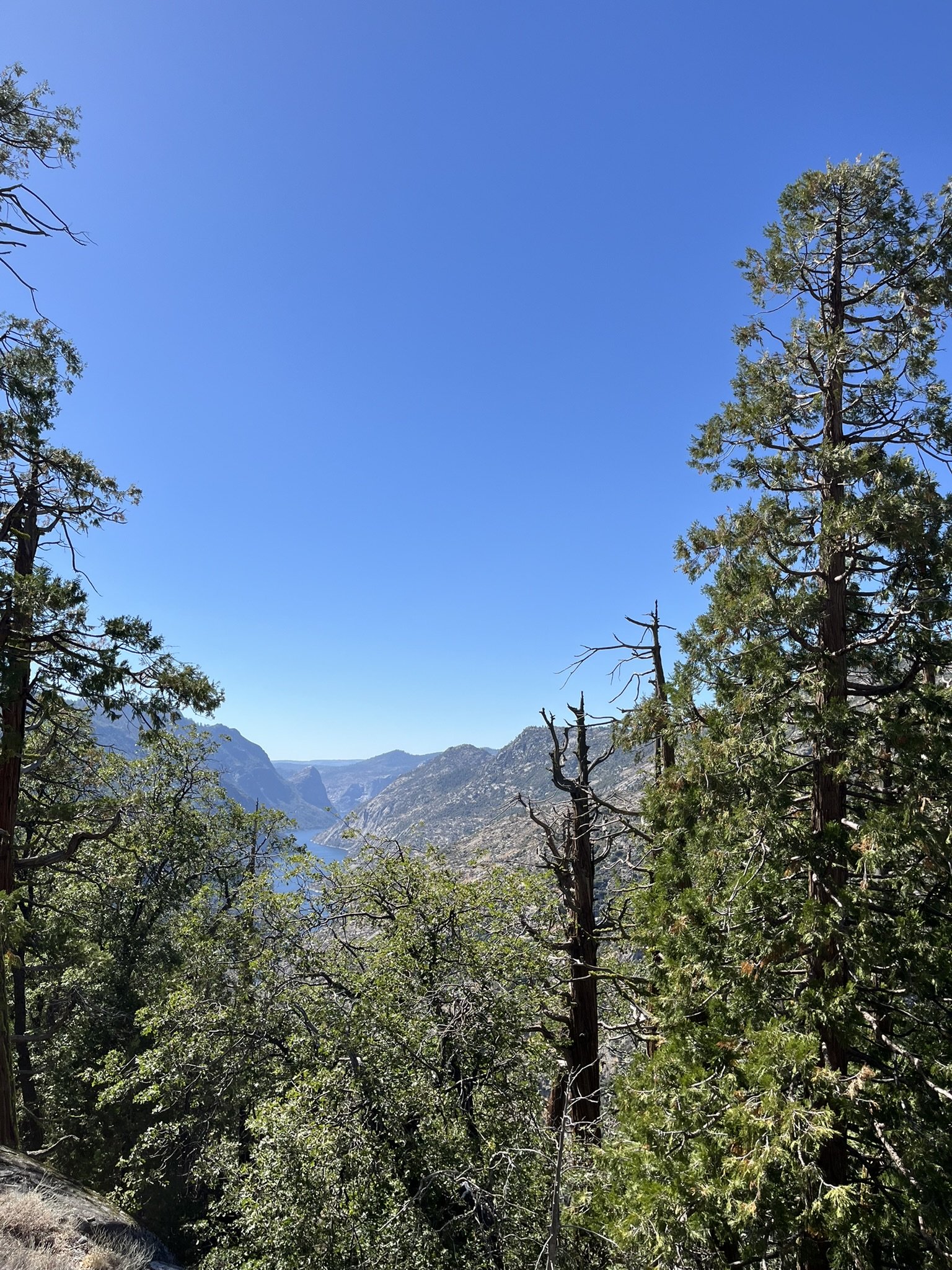
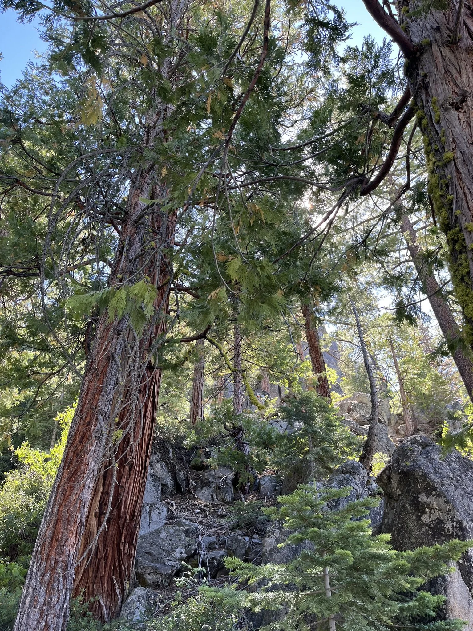
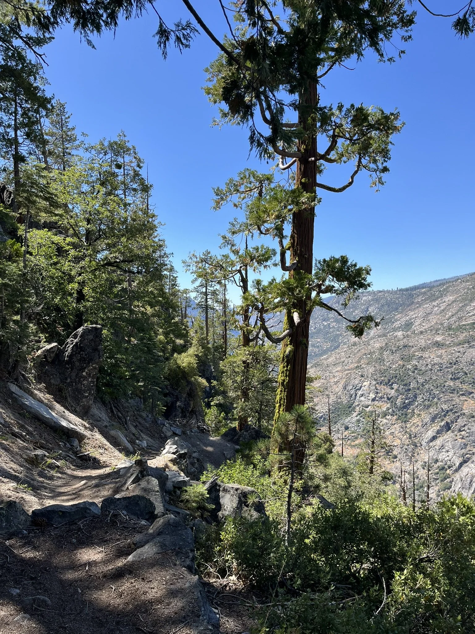
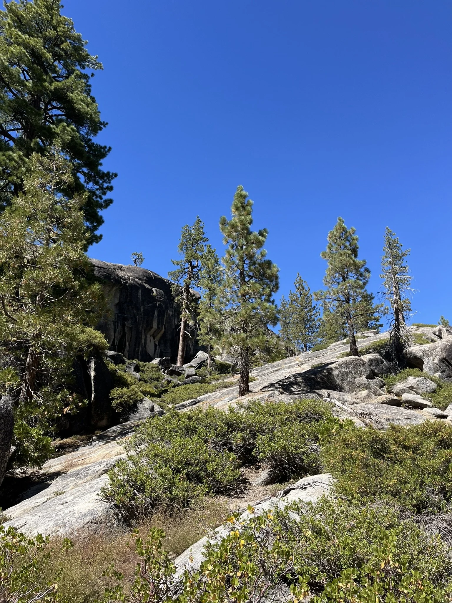
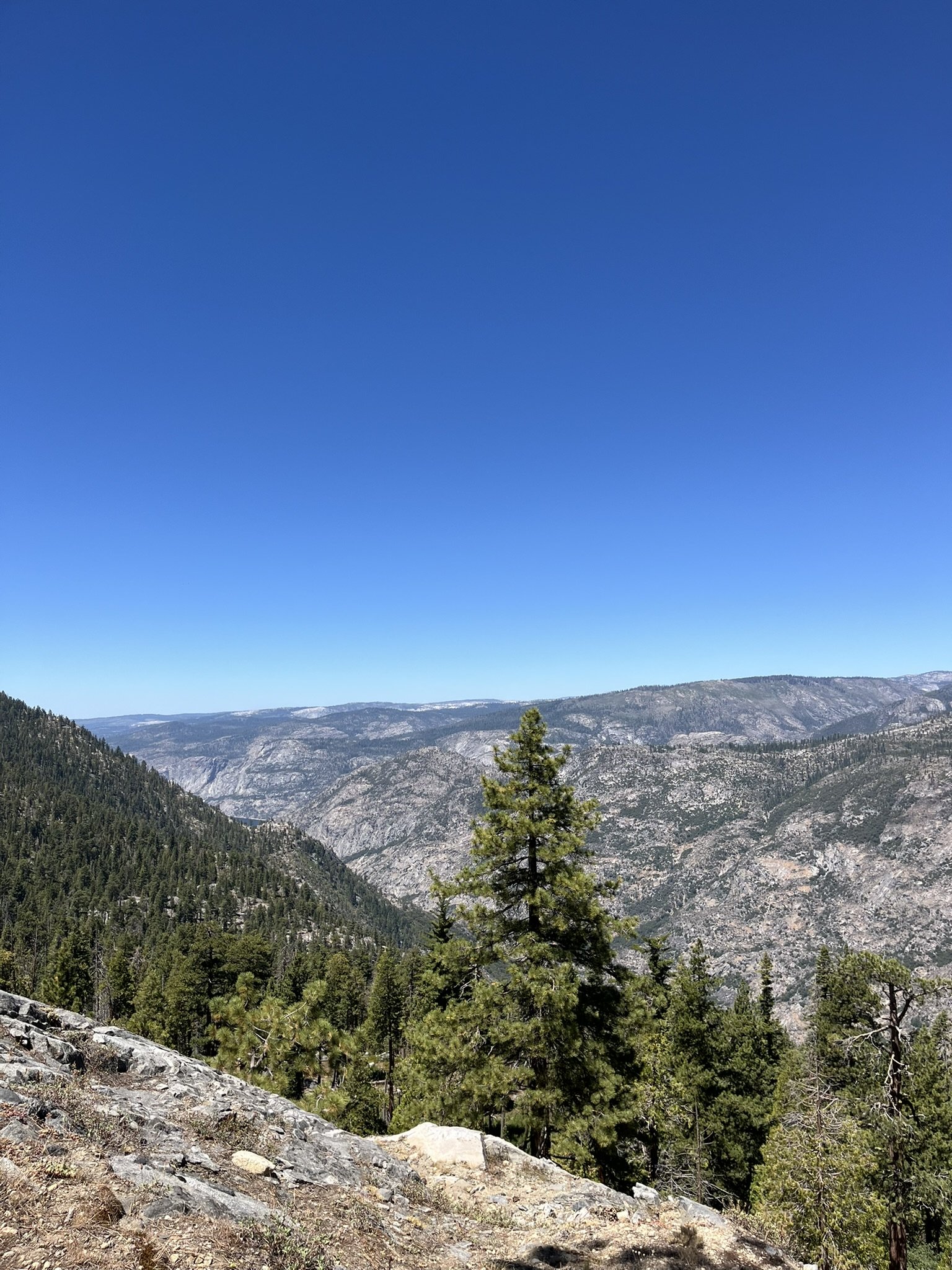
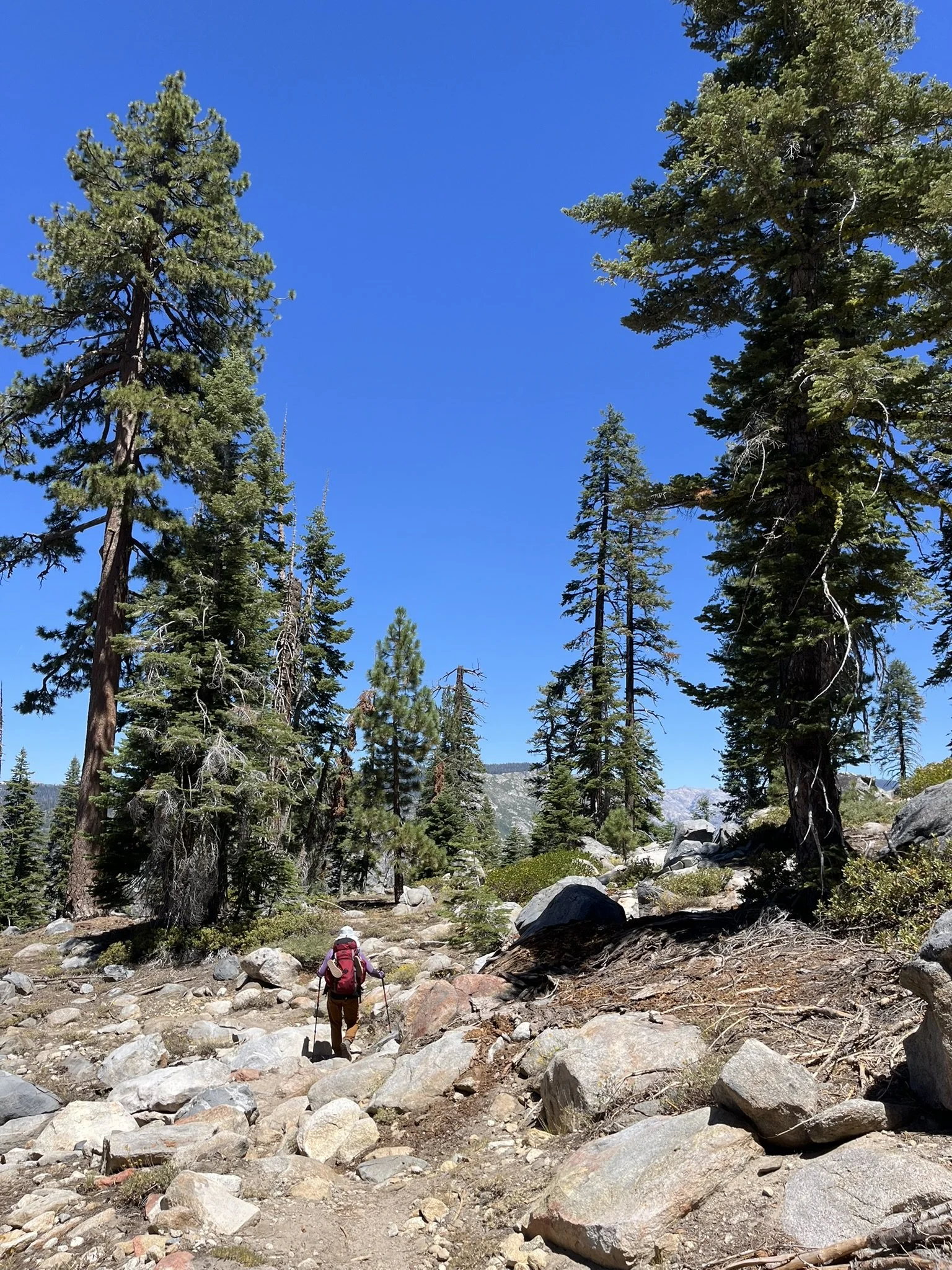
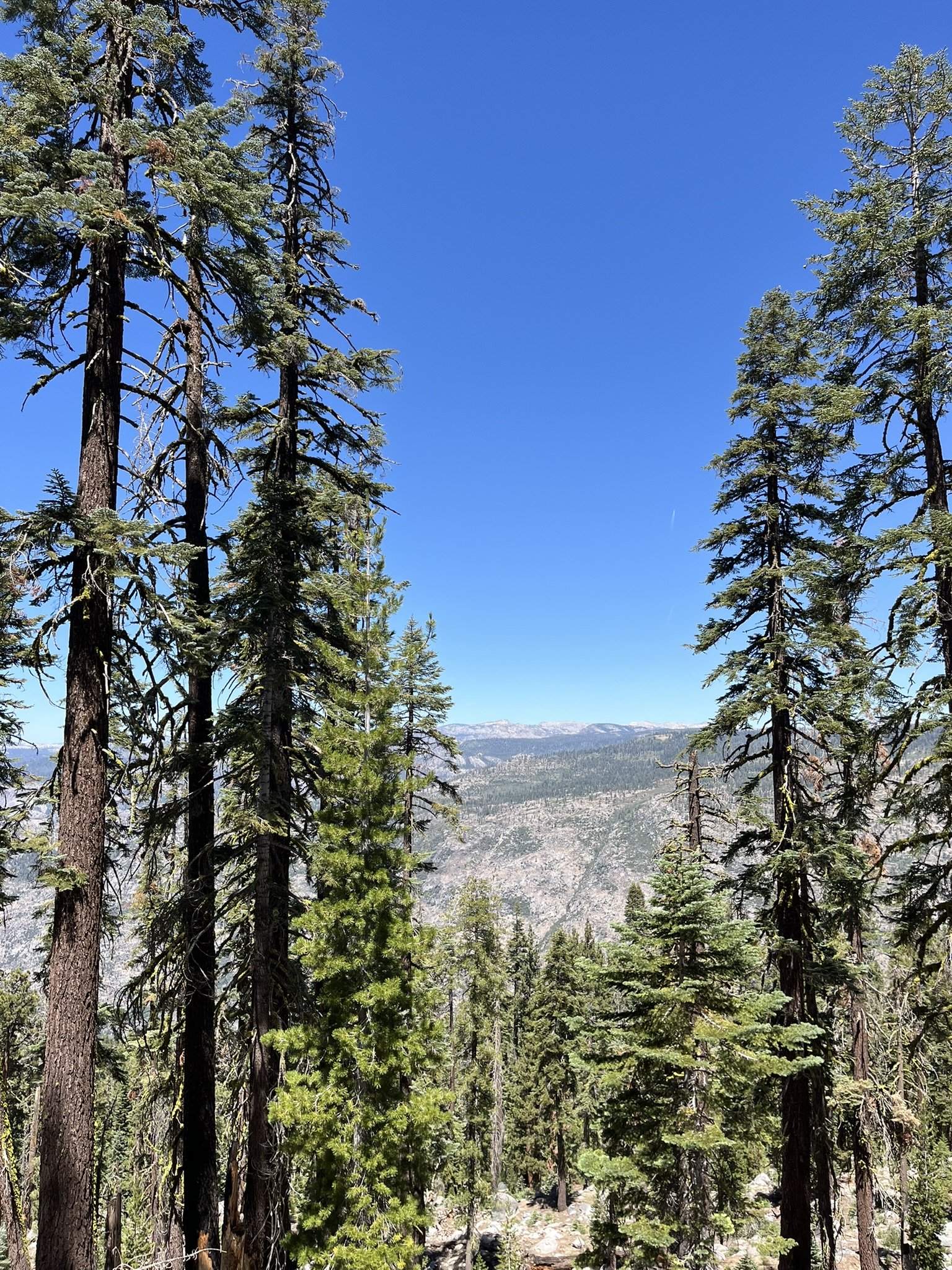
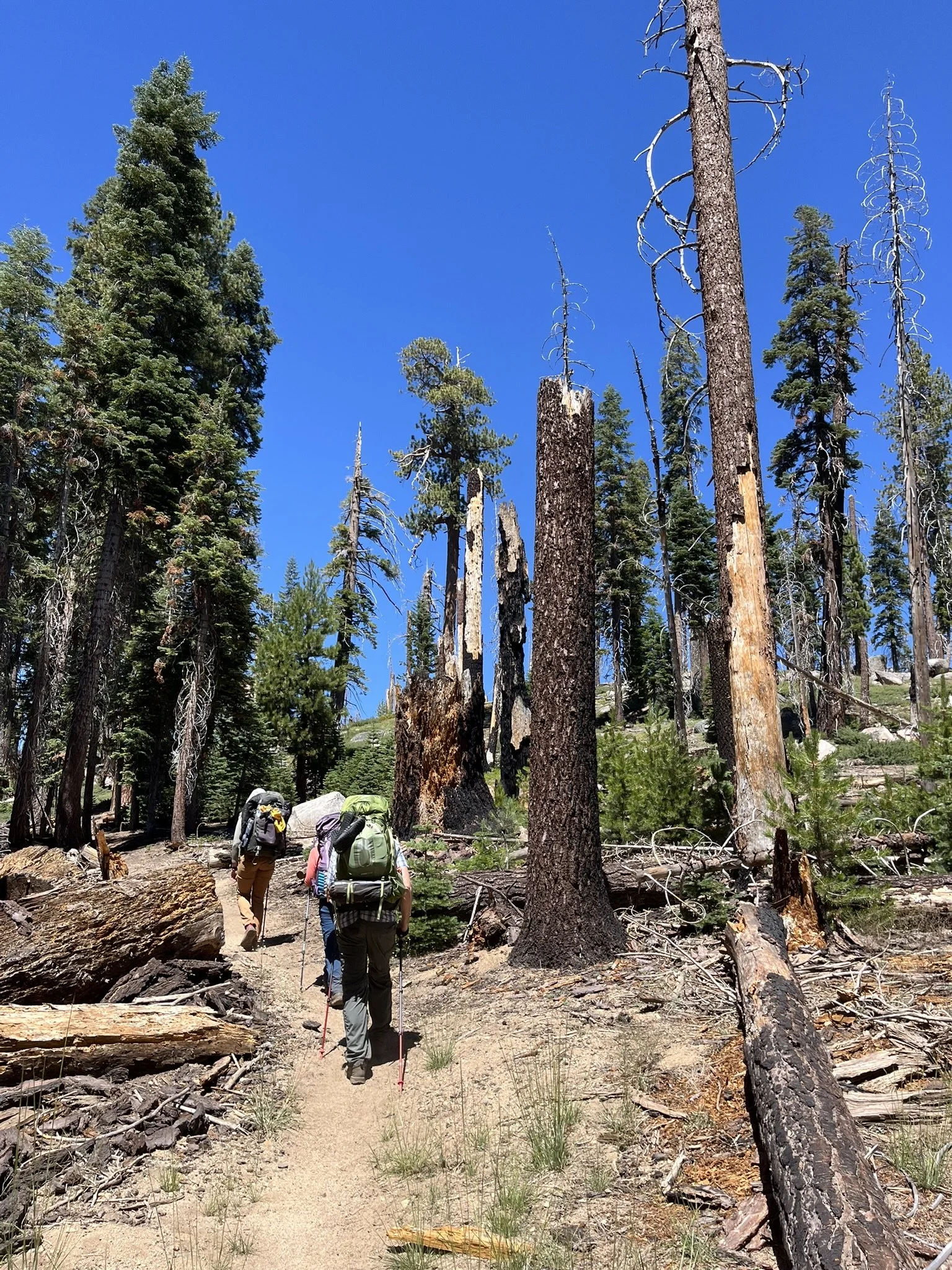
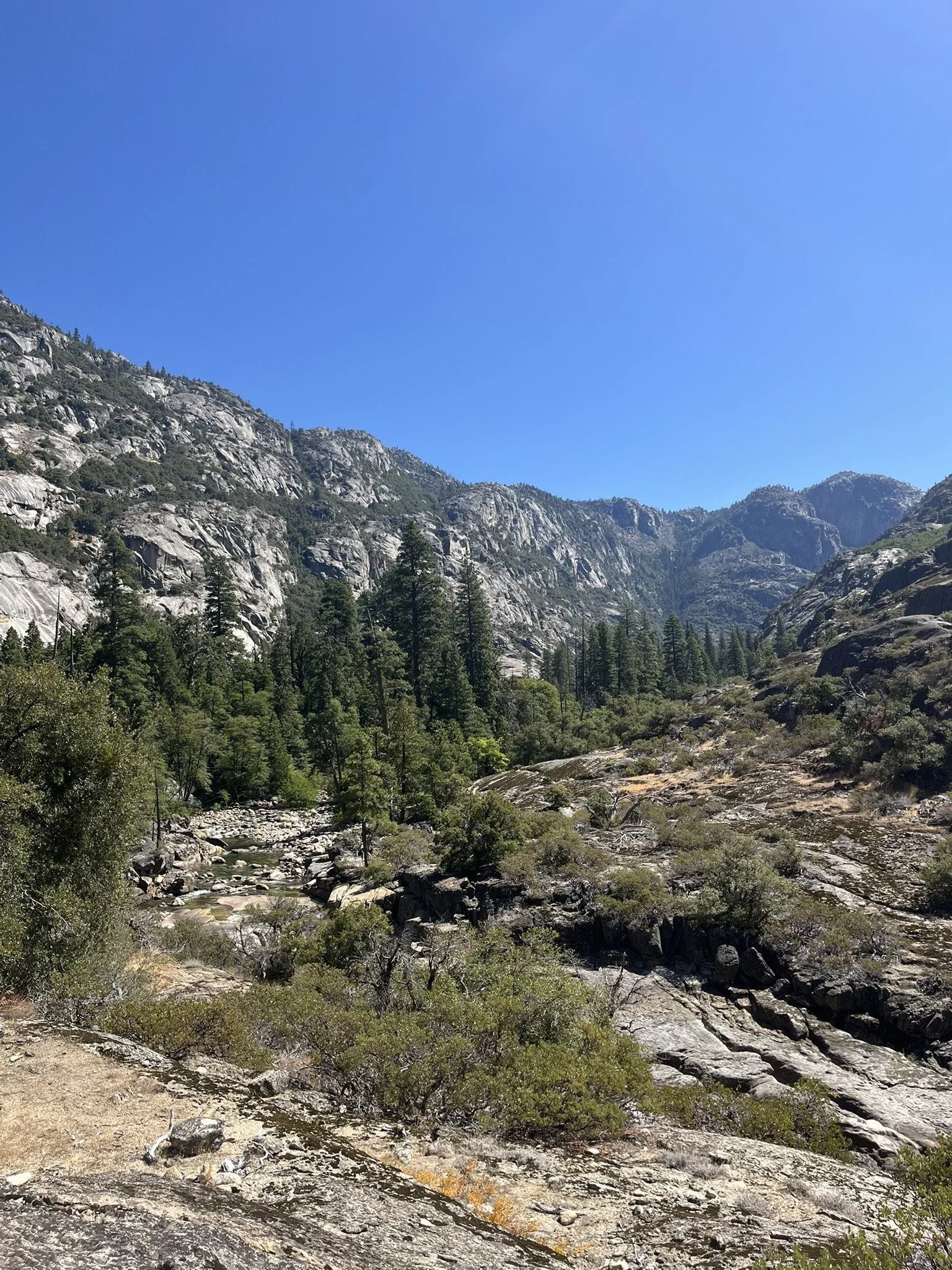
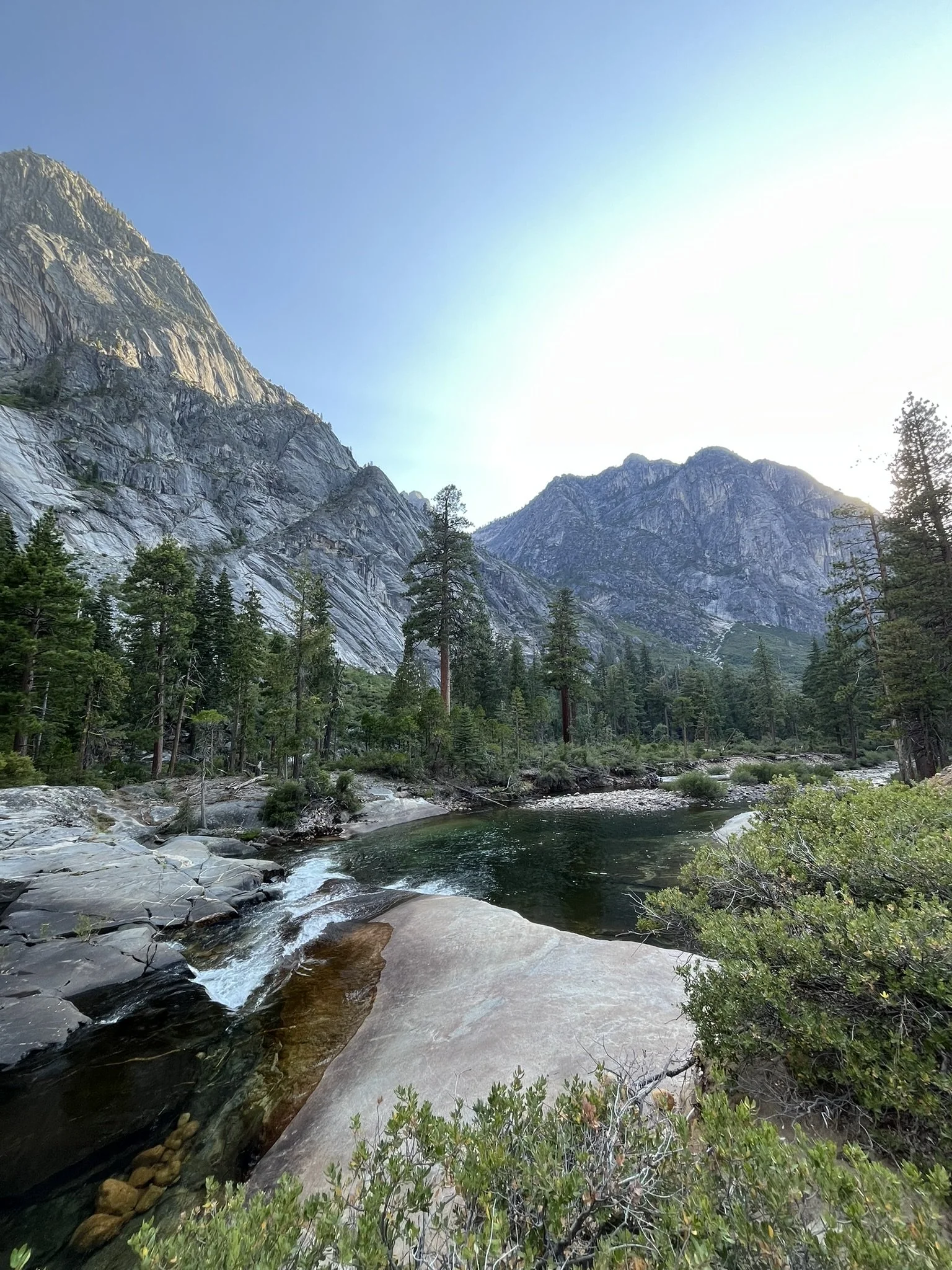
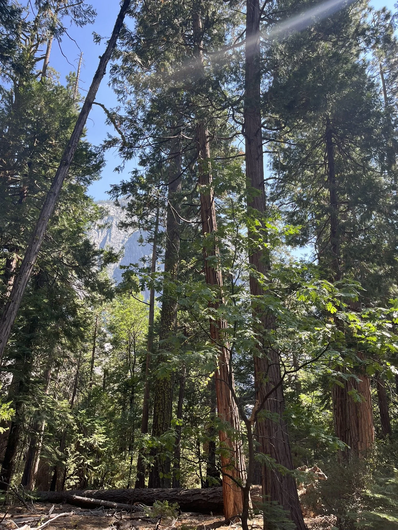
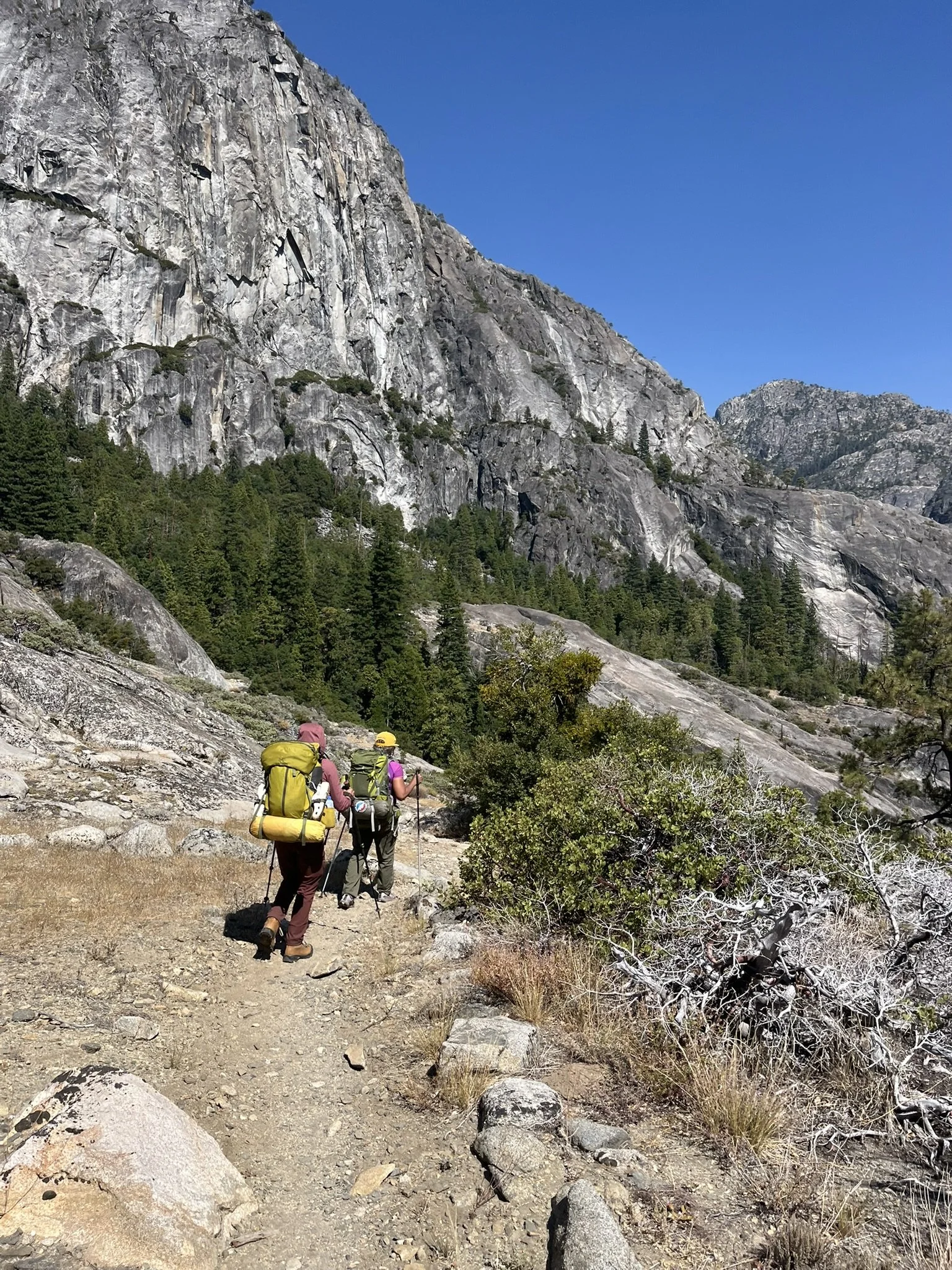
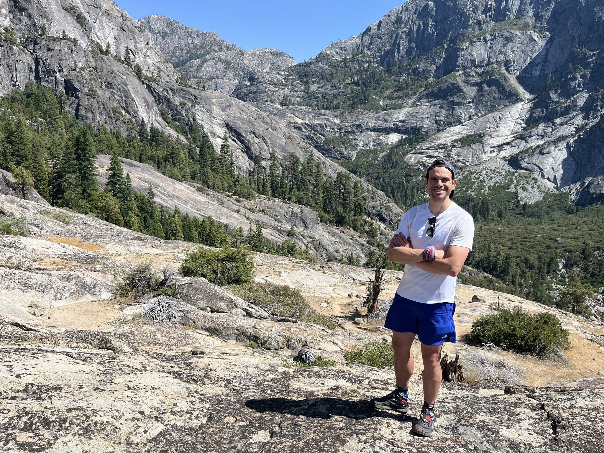
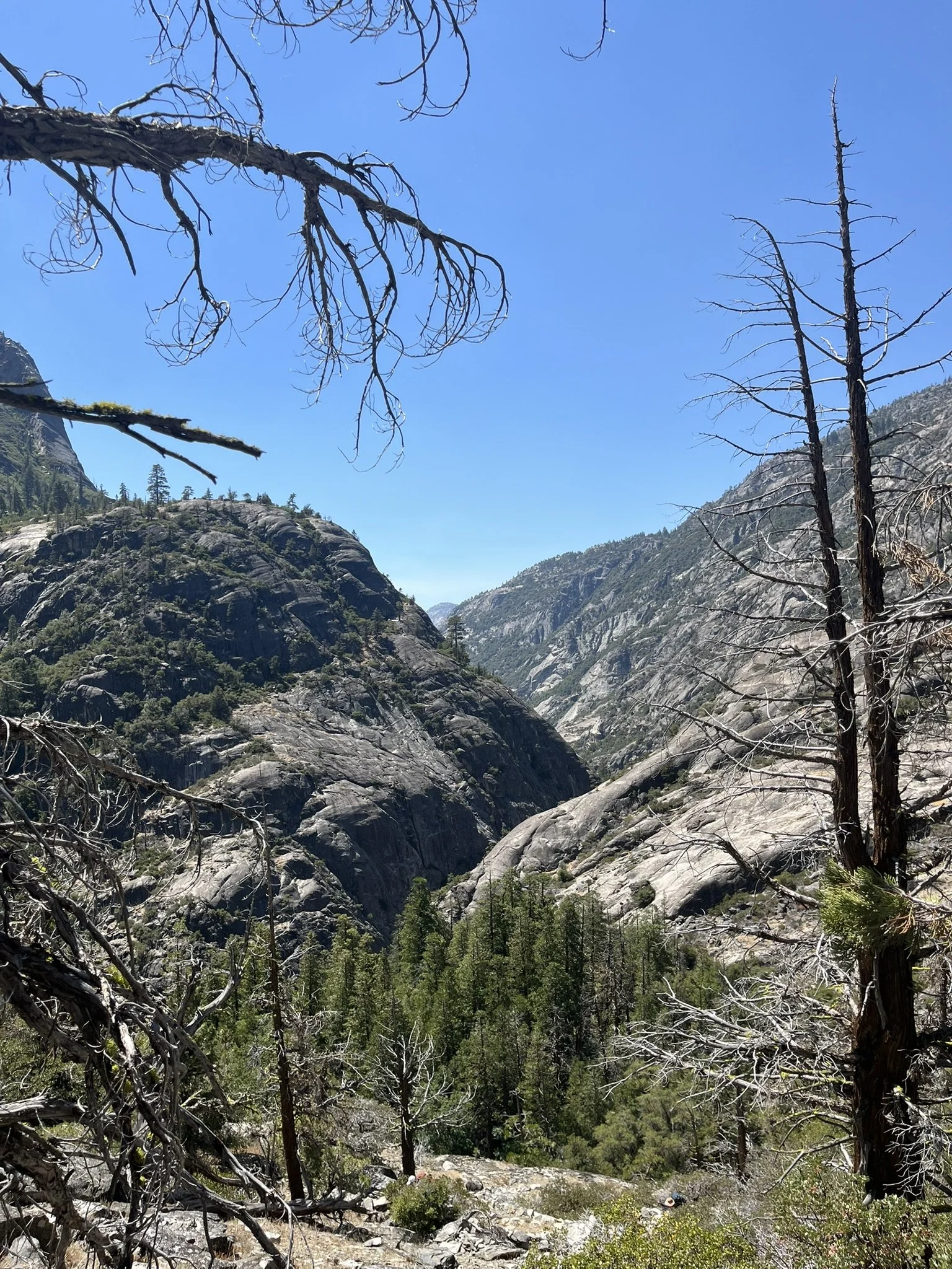
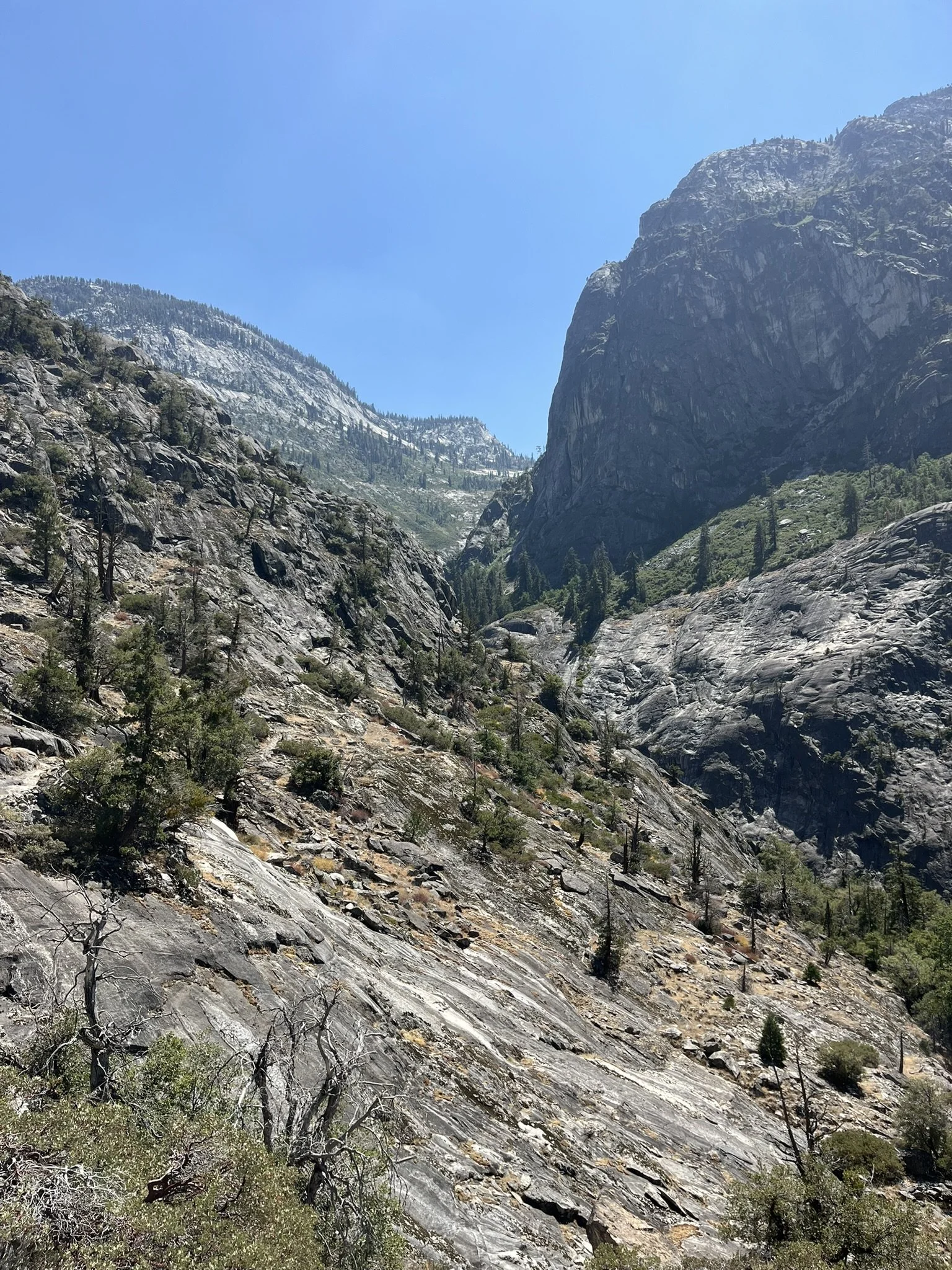
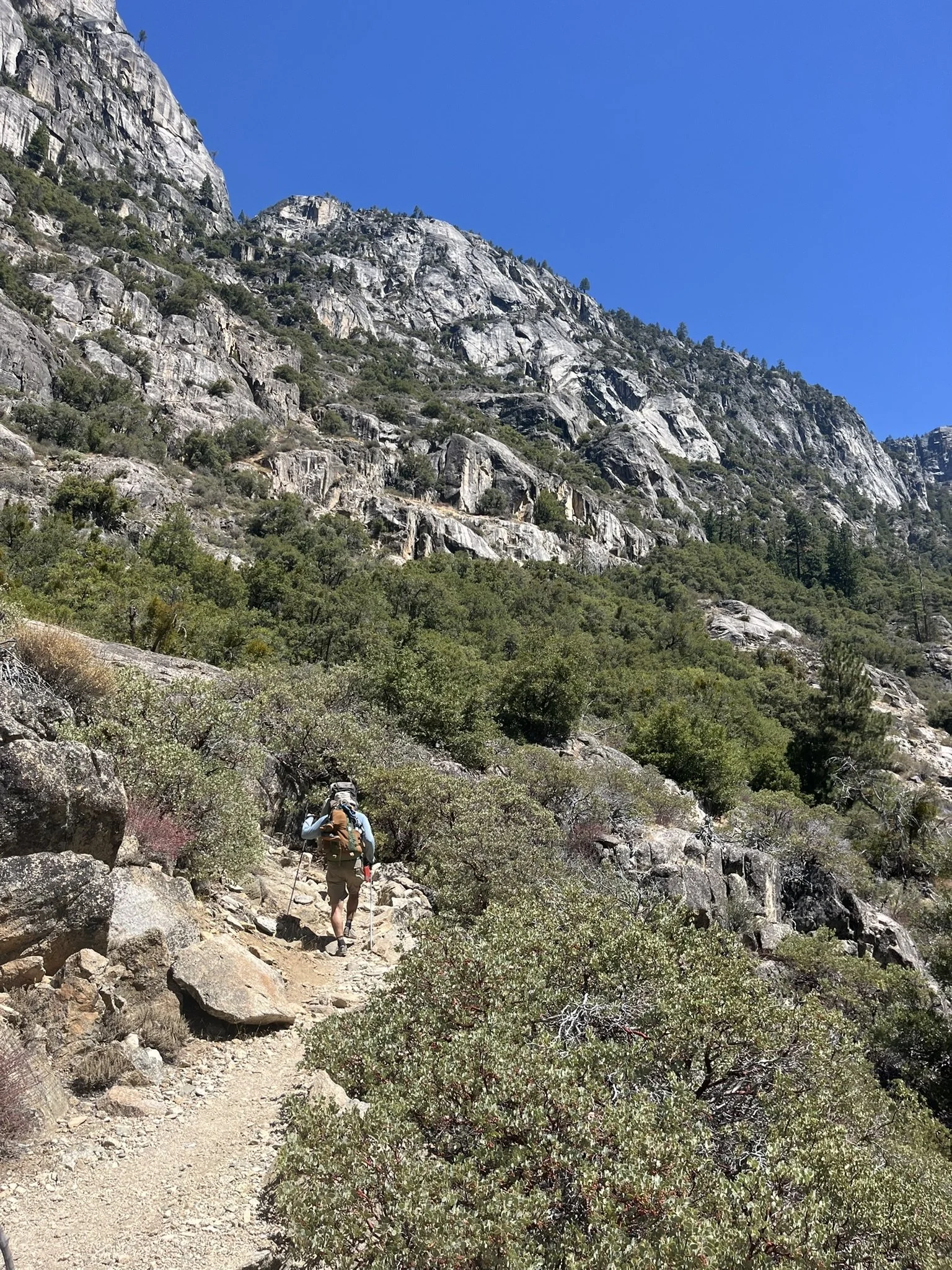
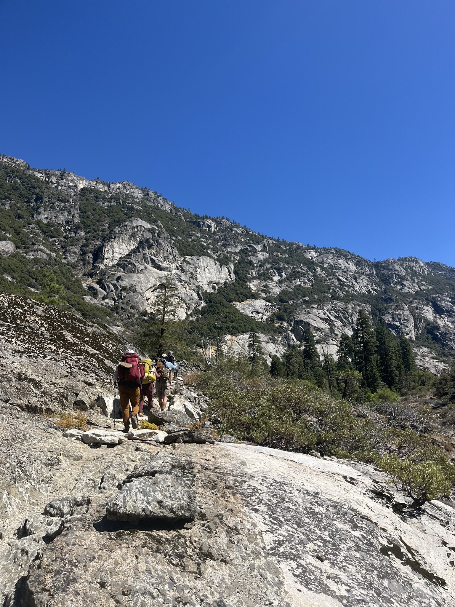
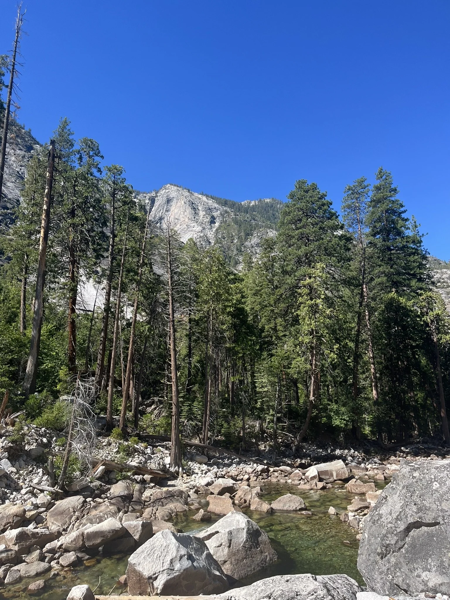
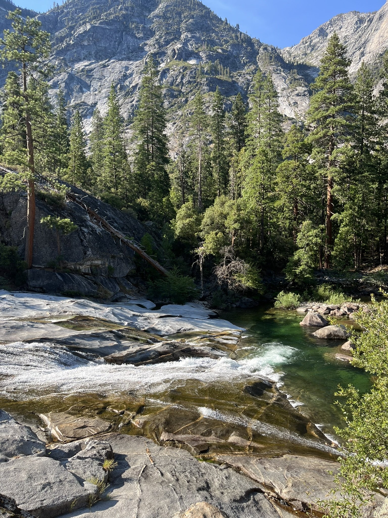
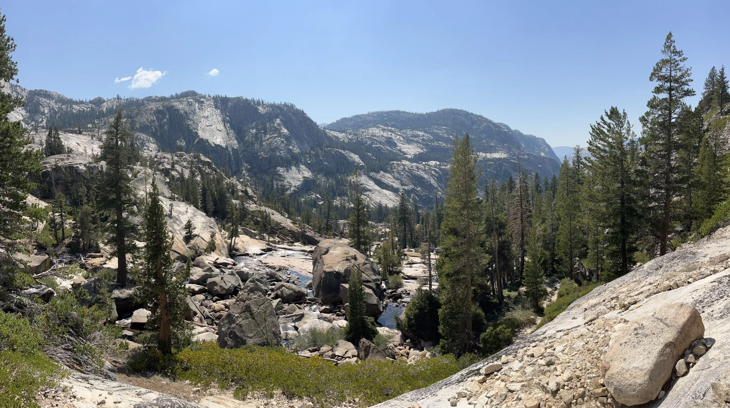
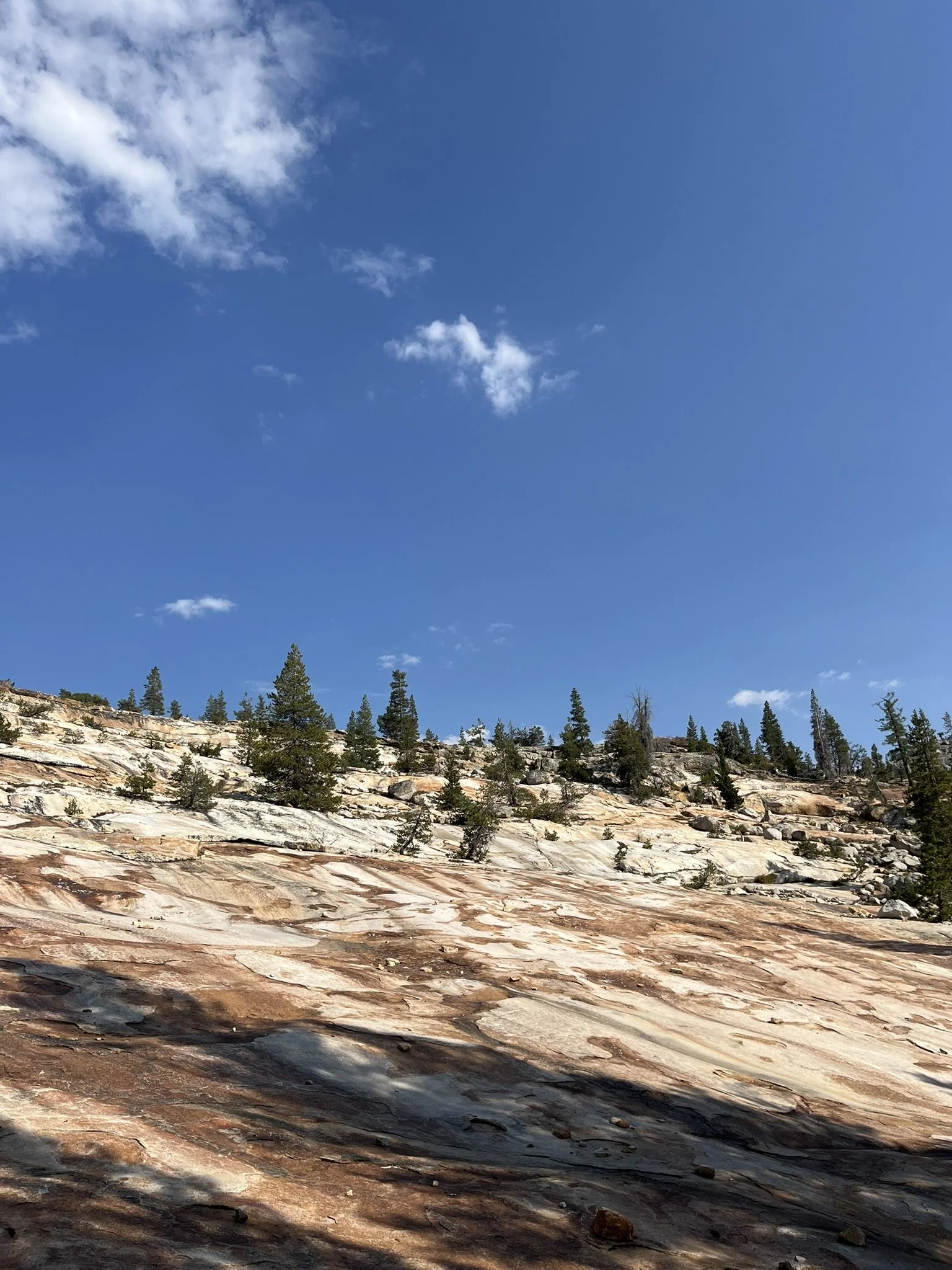
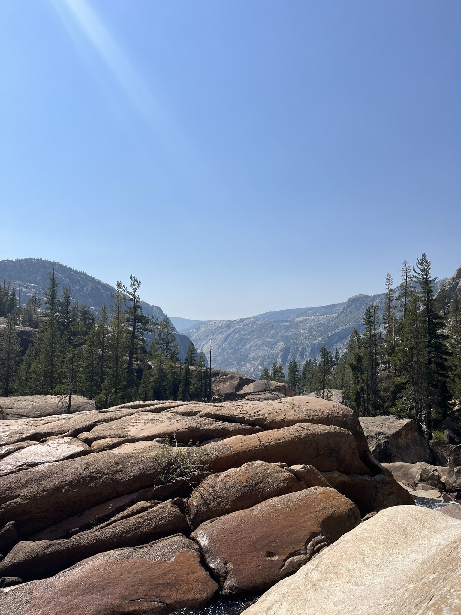
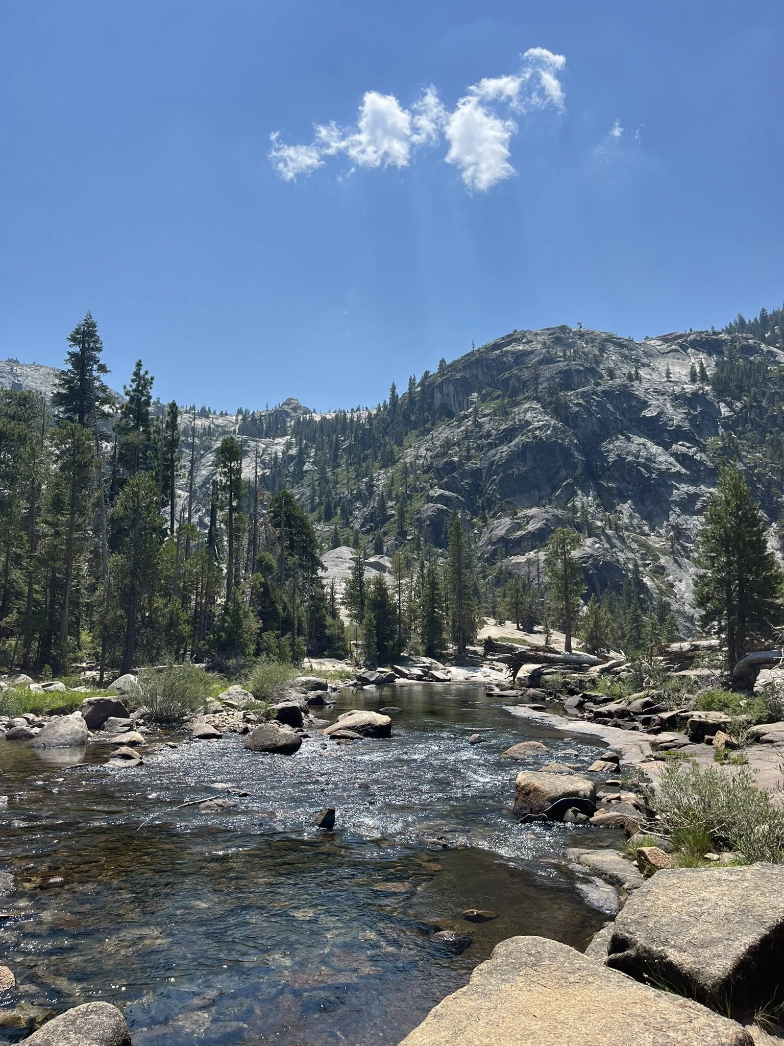
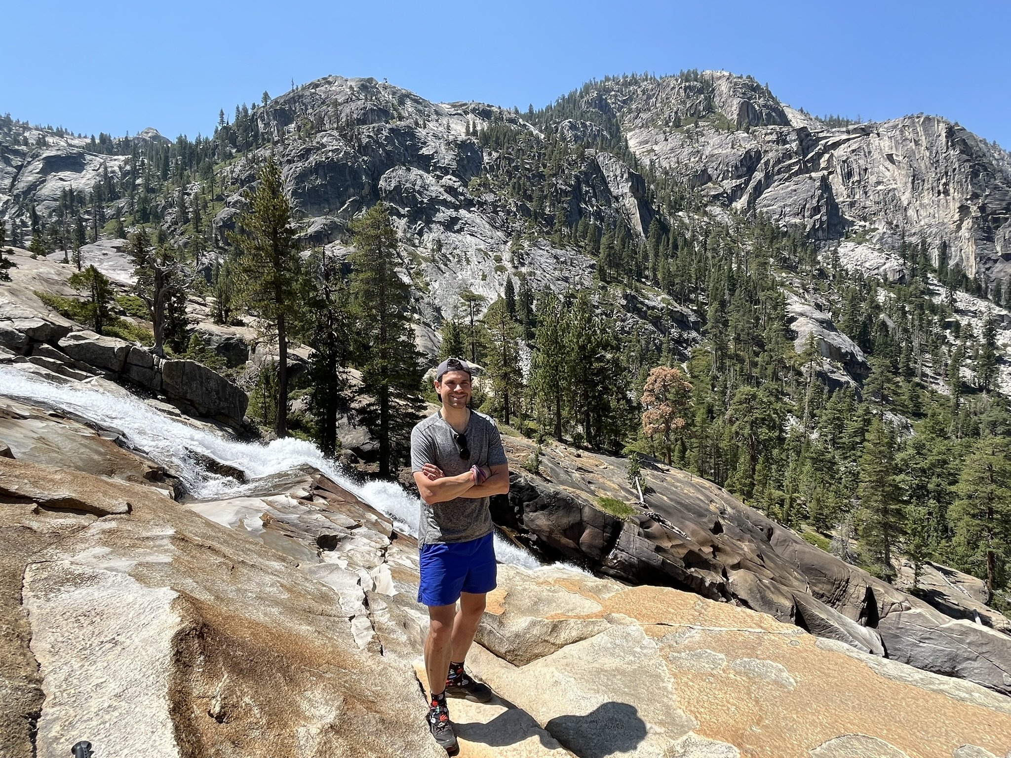
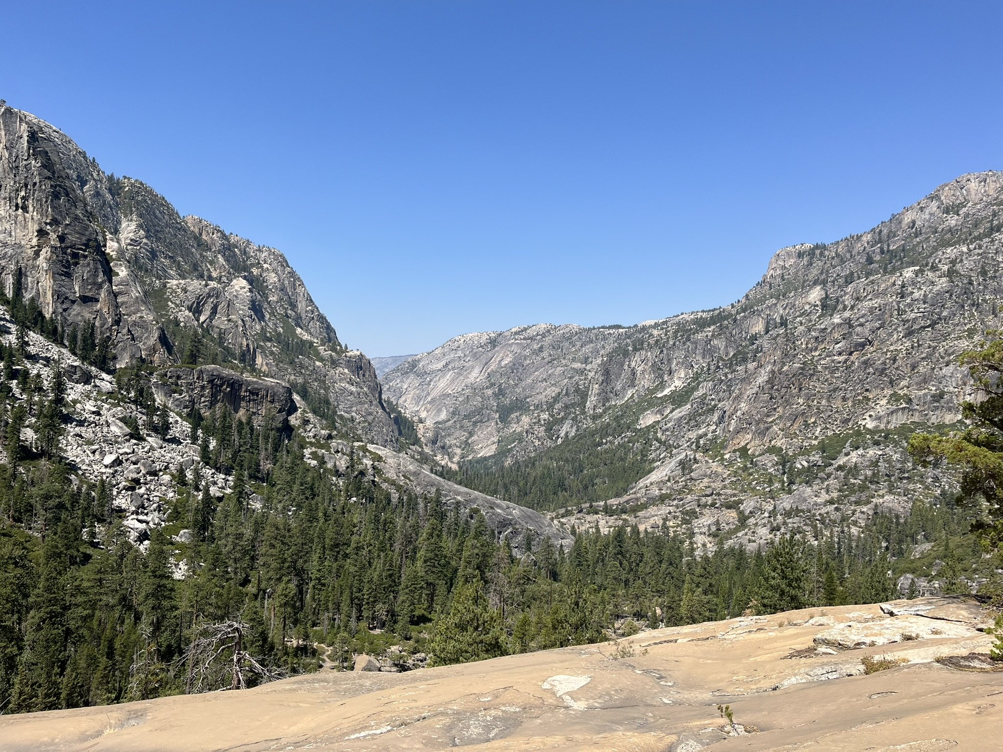
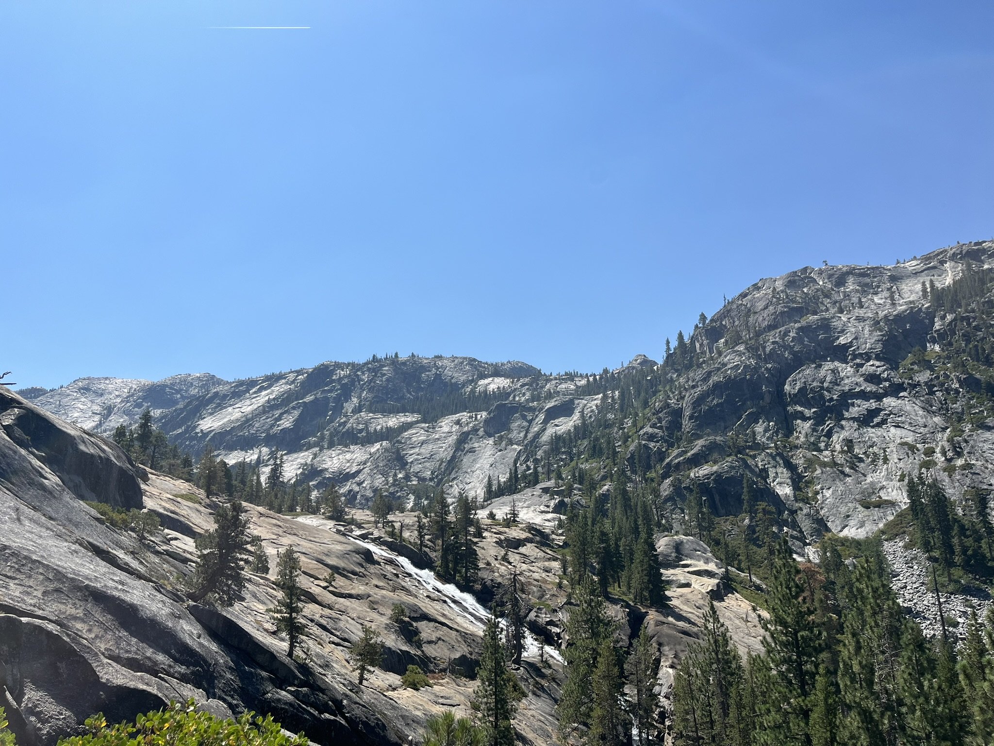
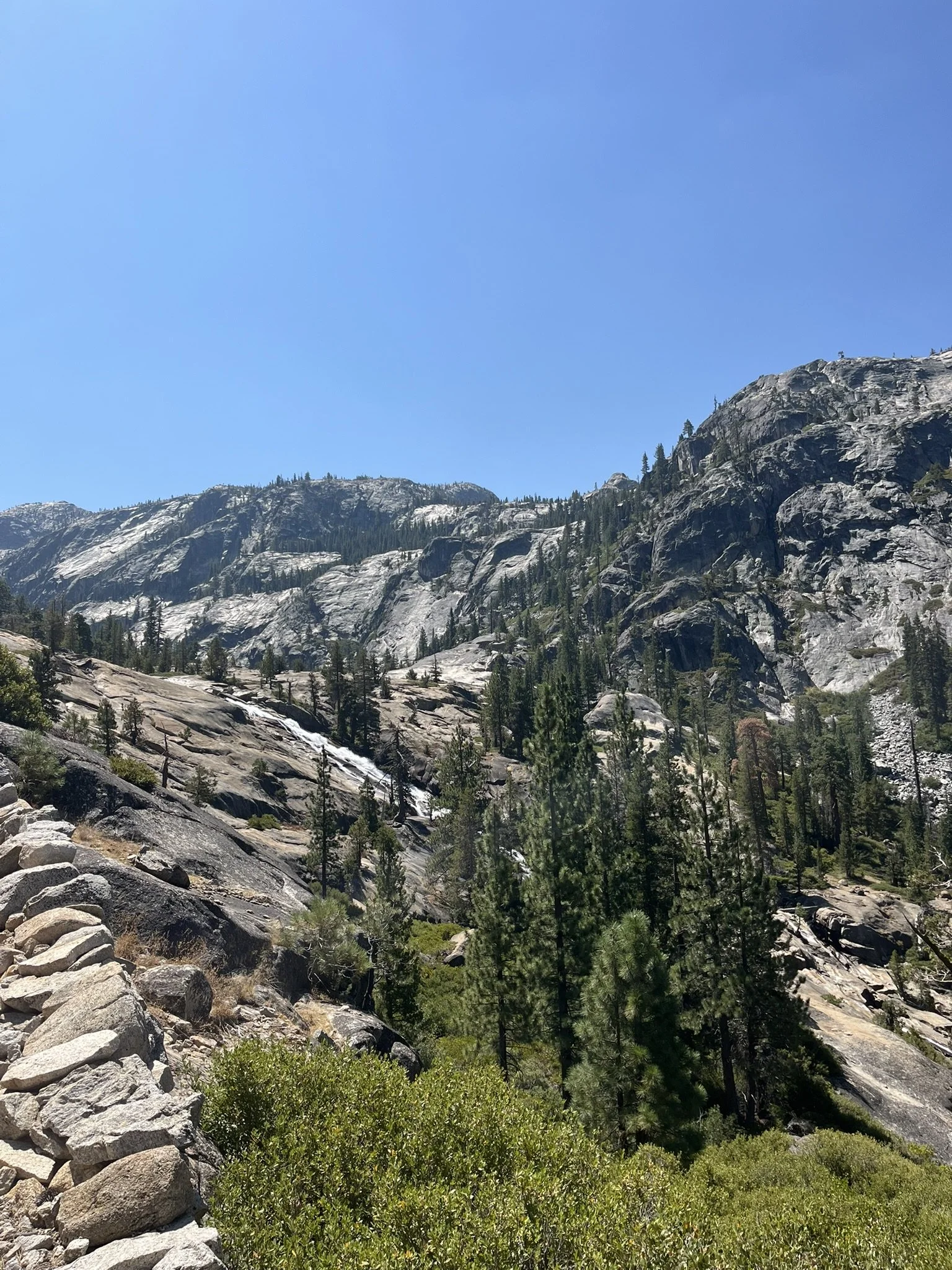
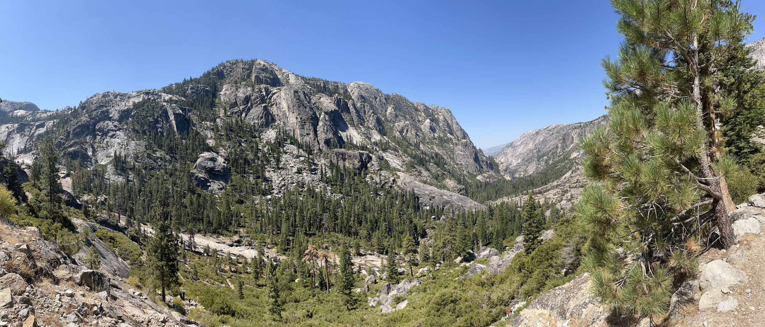
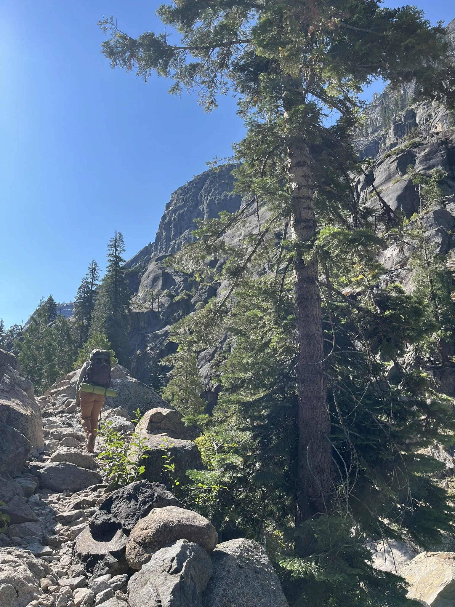
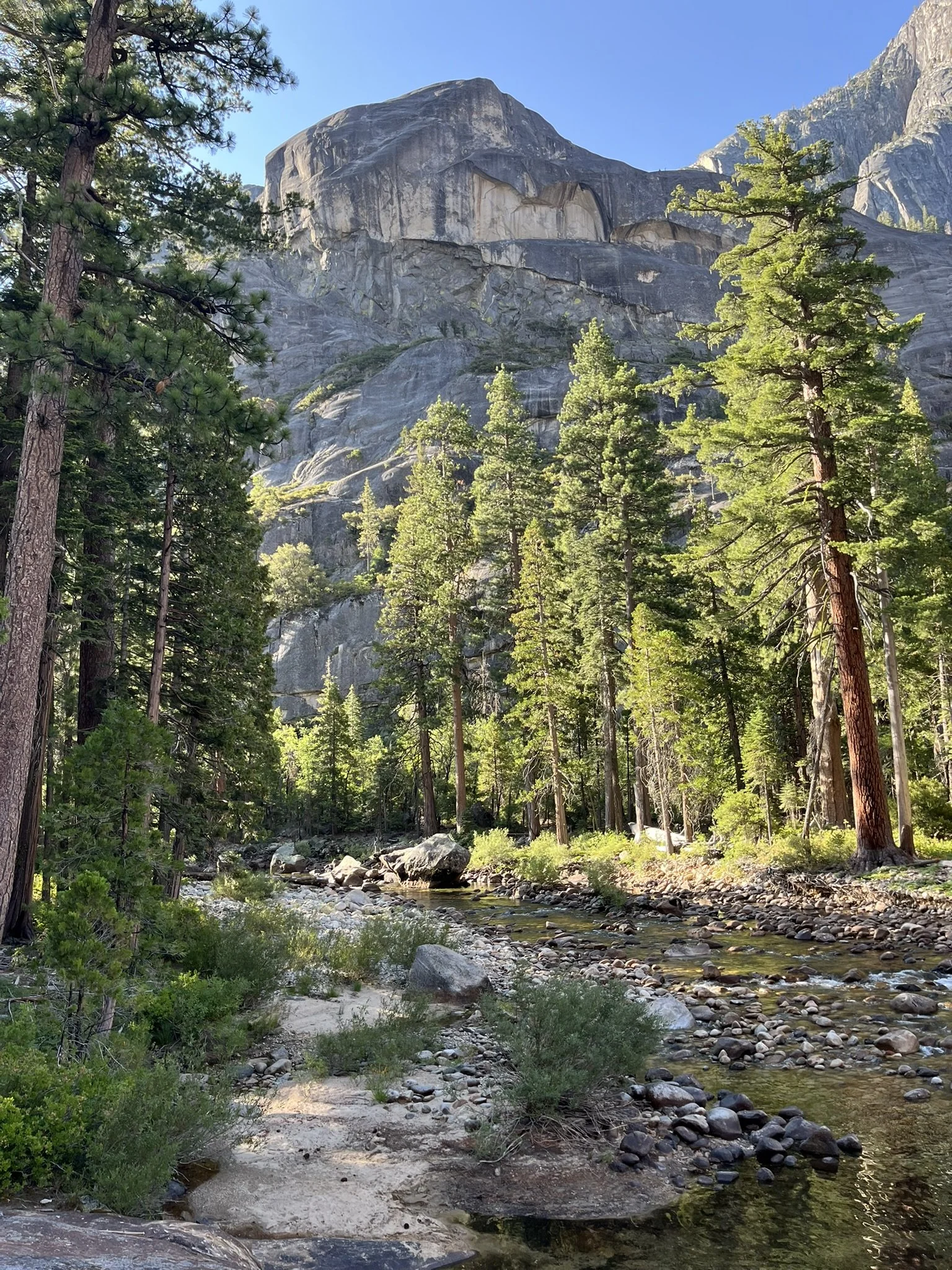
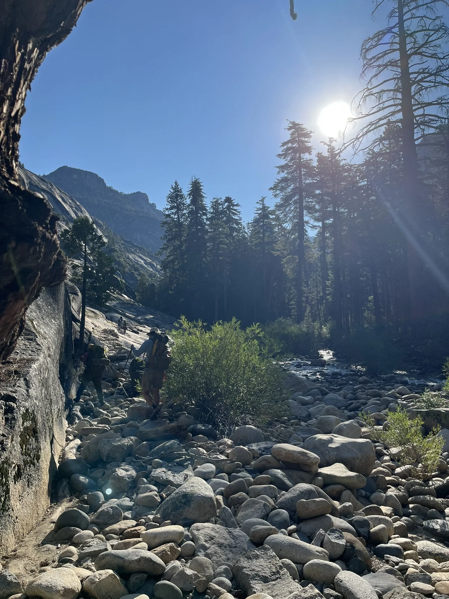
The hike began at White Wolf with a full-day descent into the canyon. At first, the trail wound through high alpine forest, the scent of pine sharp in the air and the morning sun spilling across granite ridges. With each mile, I dropped deeper into the Tuolumne’s embrace. As the forest thinned, the descent became more exposed: vegetation gave way to open rock and a rugged, sun-baked path. On a hot day, this section can be tough — water sources are scarce, so filling and filtering ahead of time is critical. The views, though, are unforgettable, including a dramatic glimpse of the Hetch Hetchy Reservoir far off at the valley’s end.
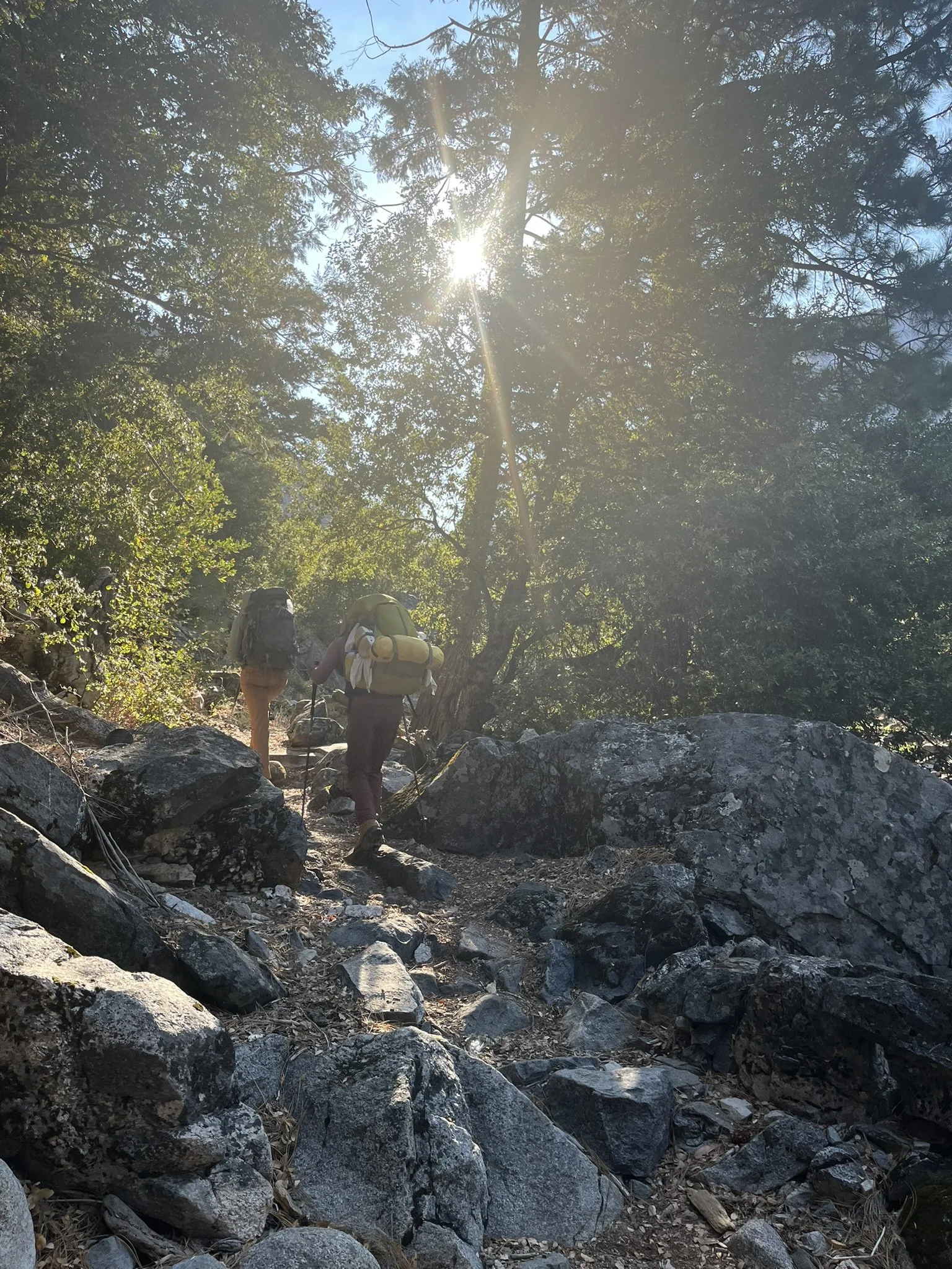
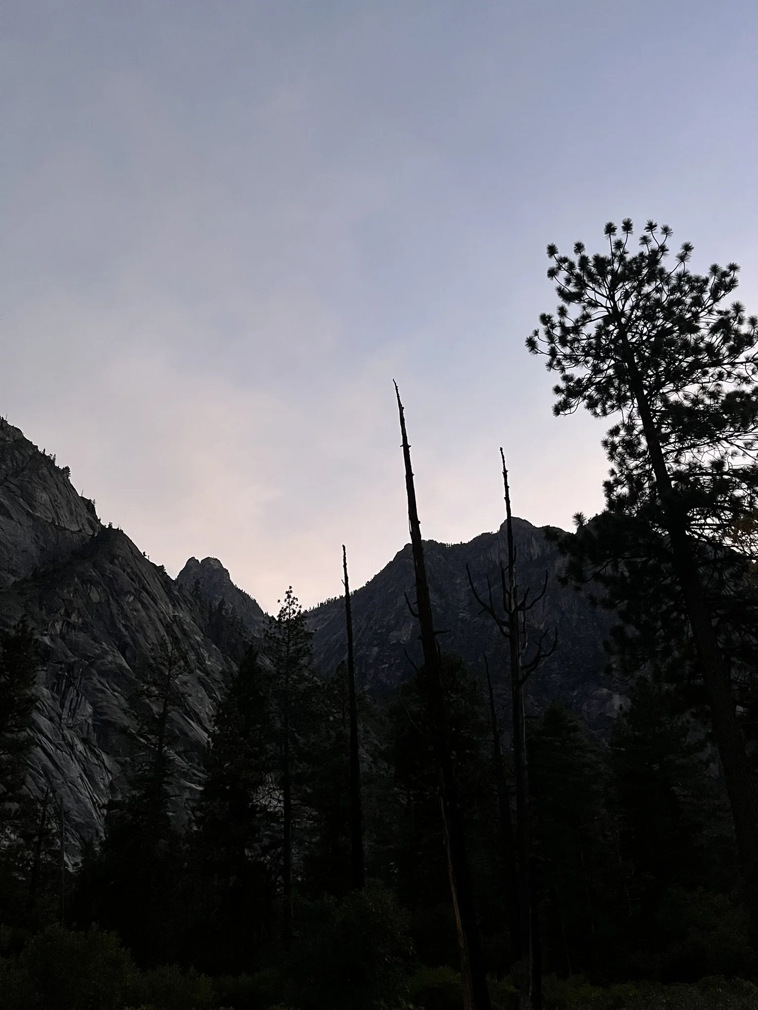
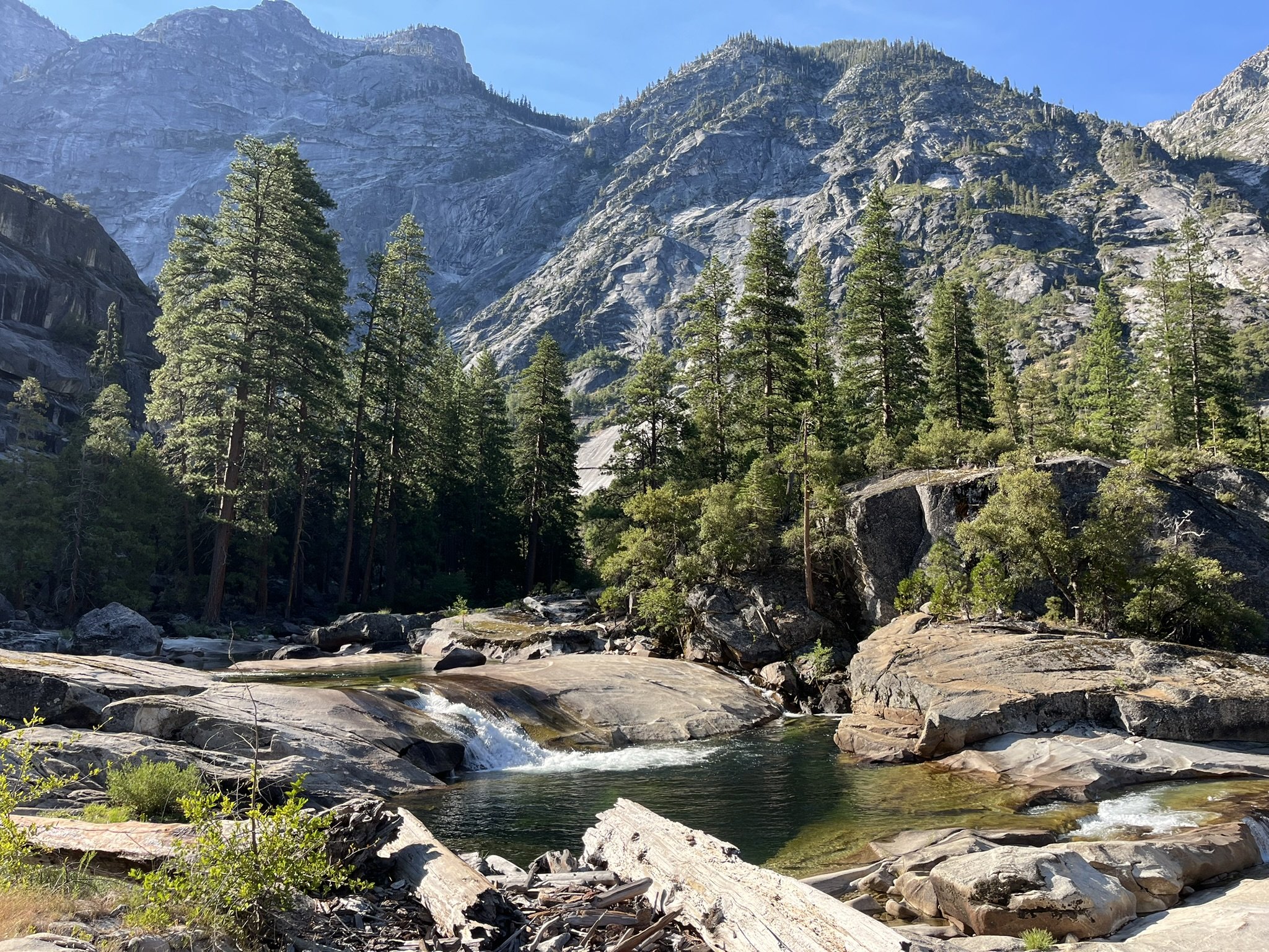
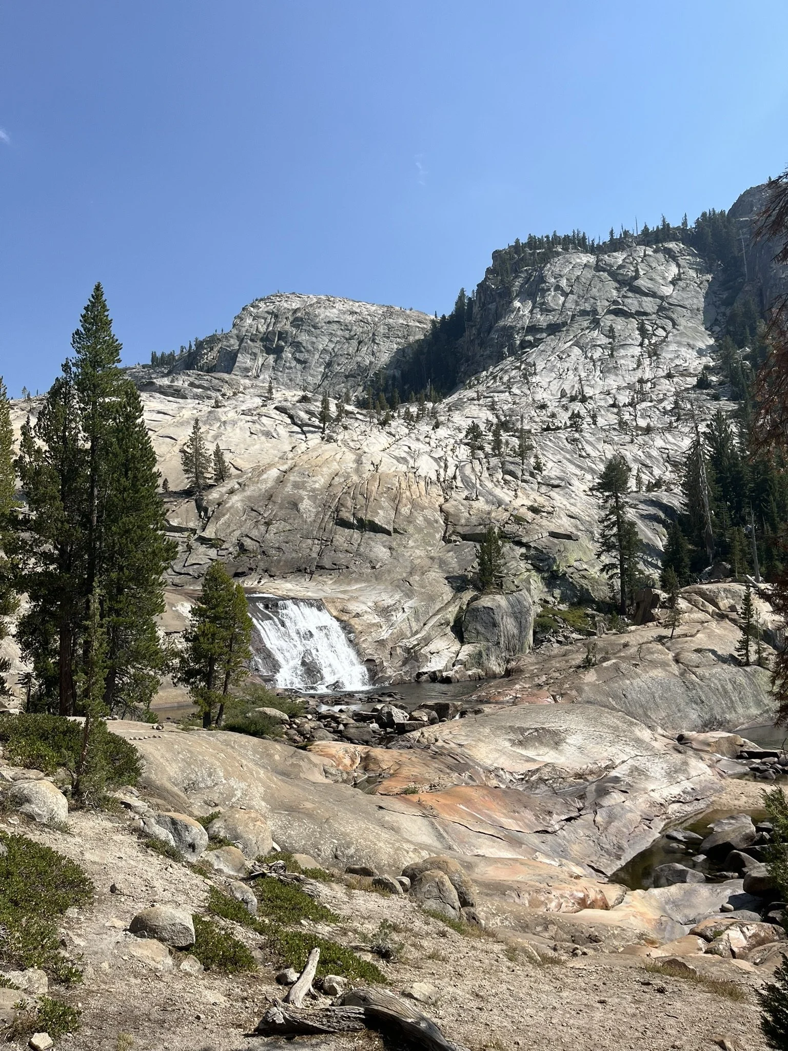
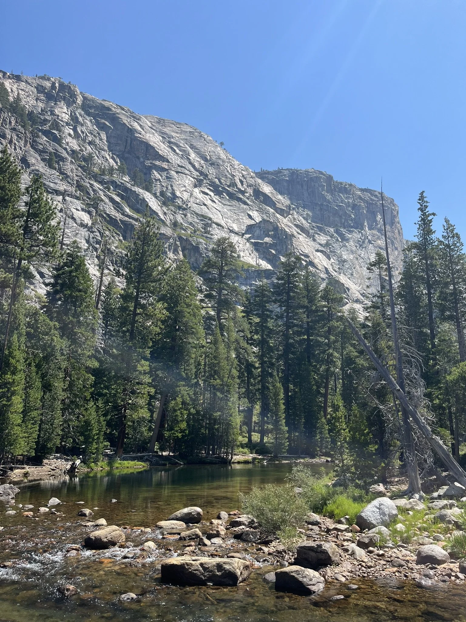
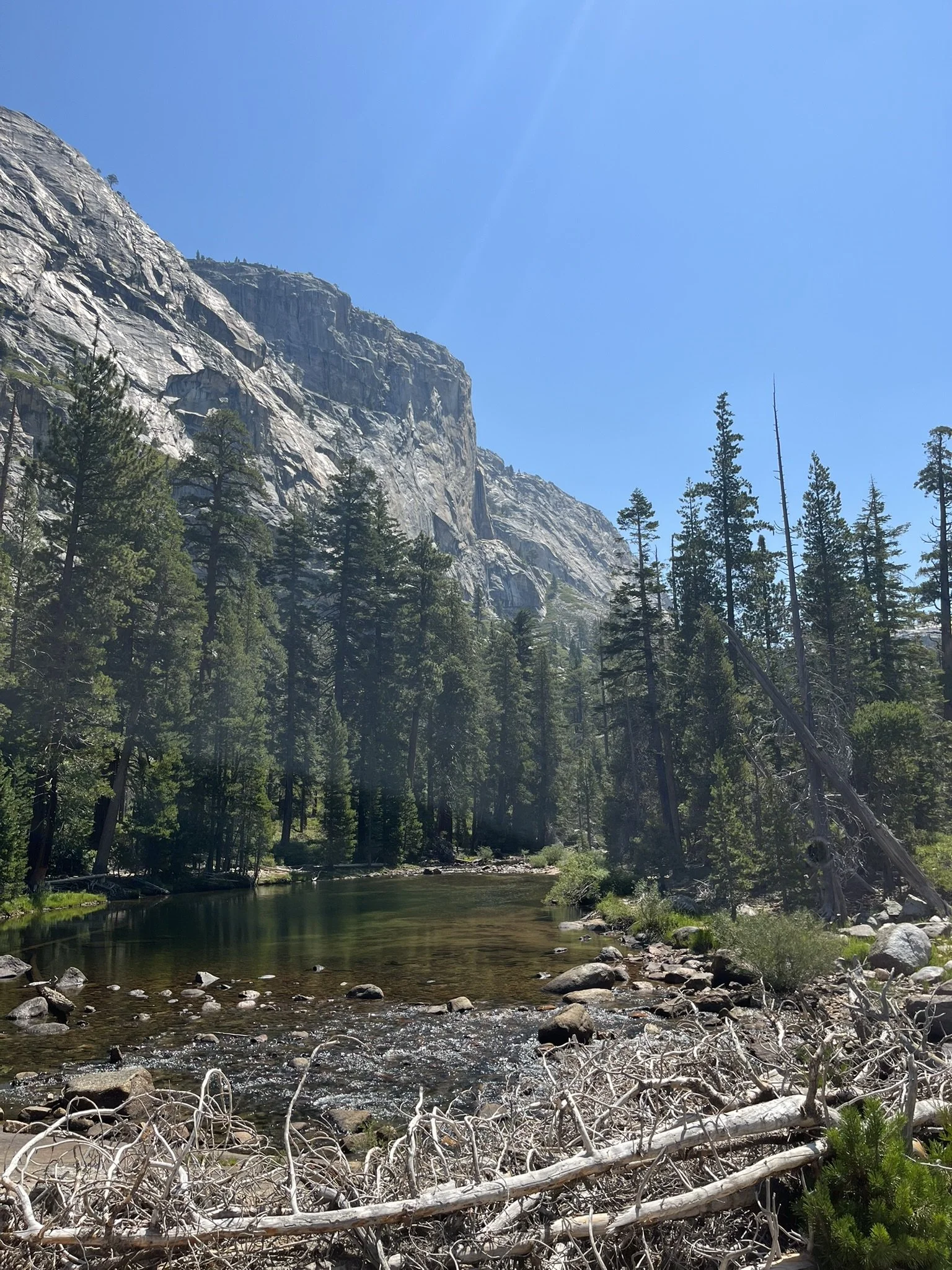
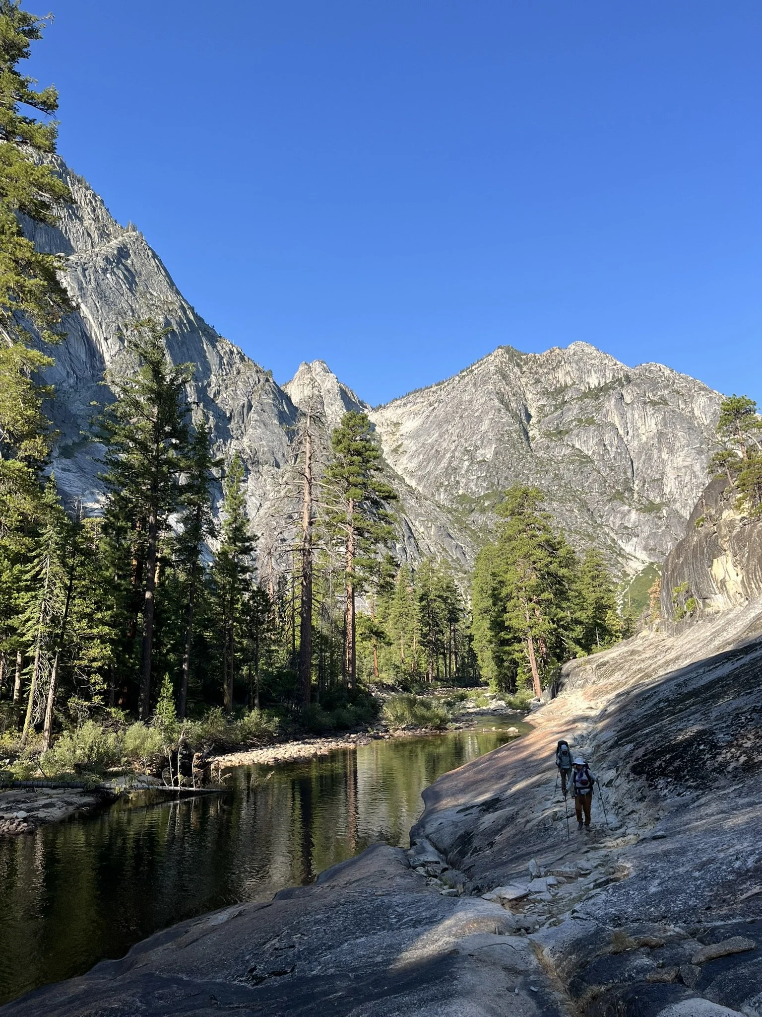
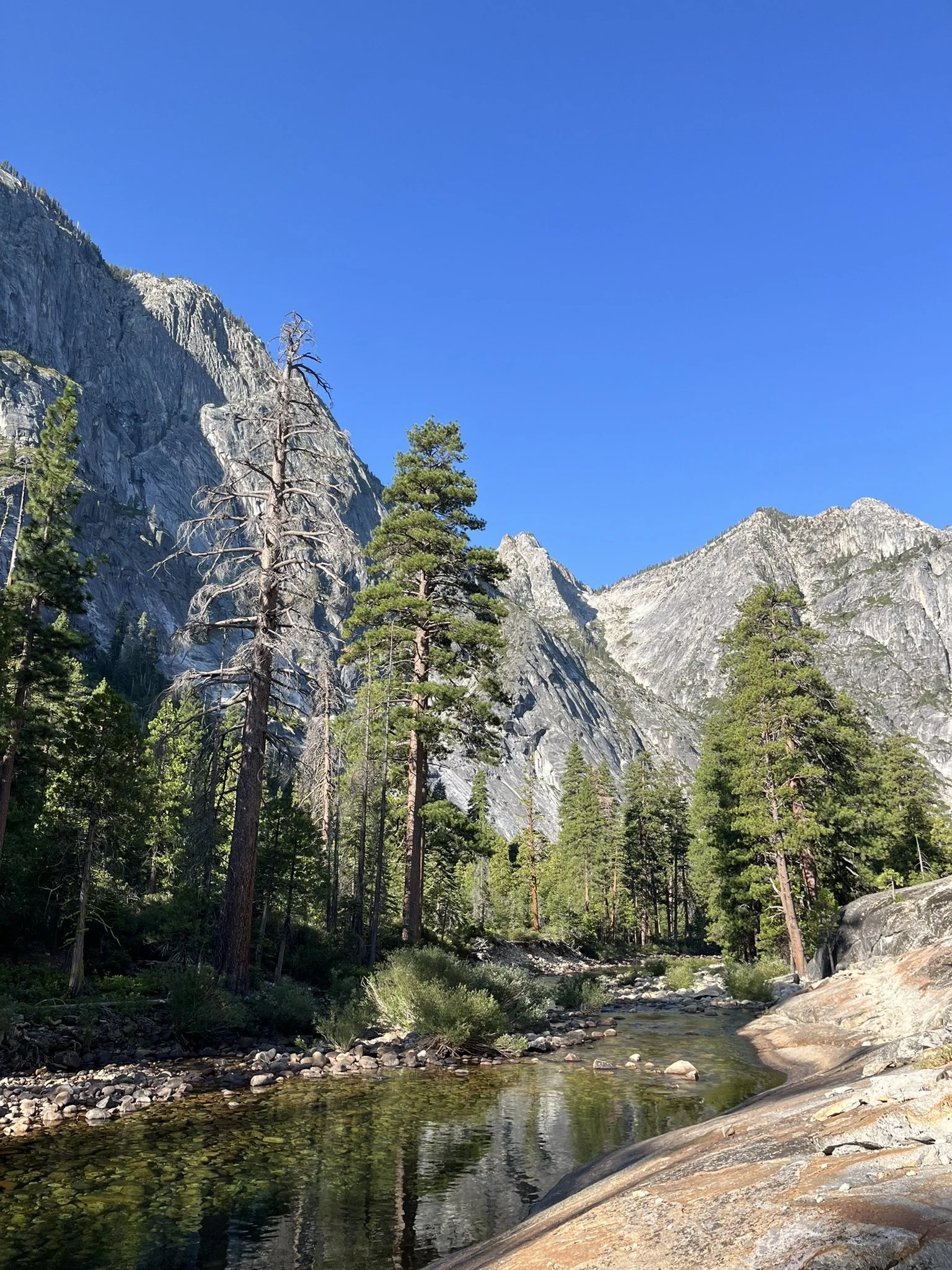
The sound of water grew stronger — first a murmur, then a steady roar as the river appeared below, whitewater tumbling between massive boulders. My knees felt every step of the descent under the weight of the pack. Bringing trekking poles was the best decision I could have made, especially with a knee still recovering from ACL surgery. Yet the scenery never failed to distract me: sheer granite walls rising above, cascades plunging into emerald pools.
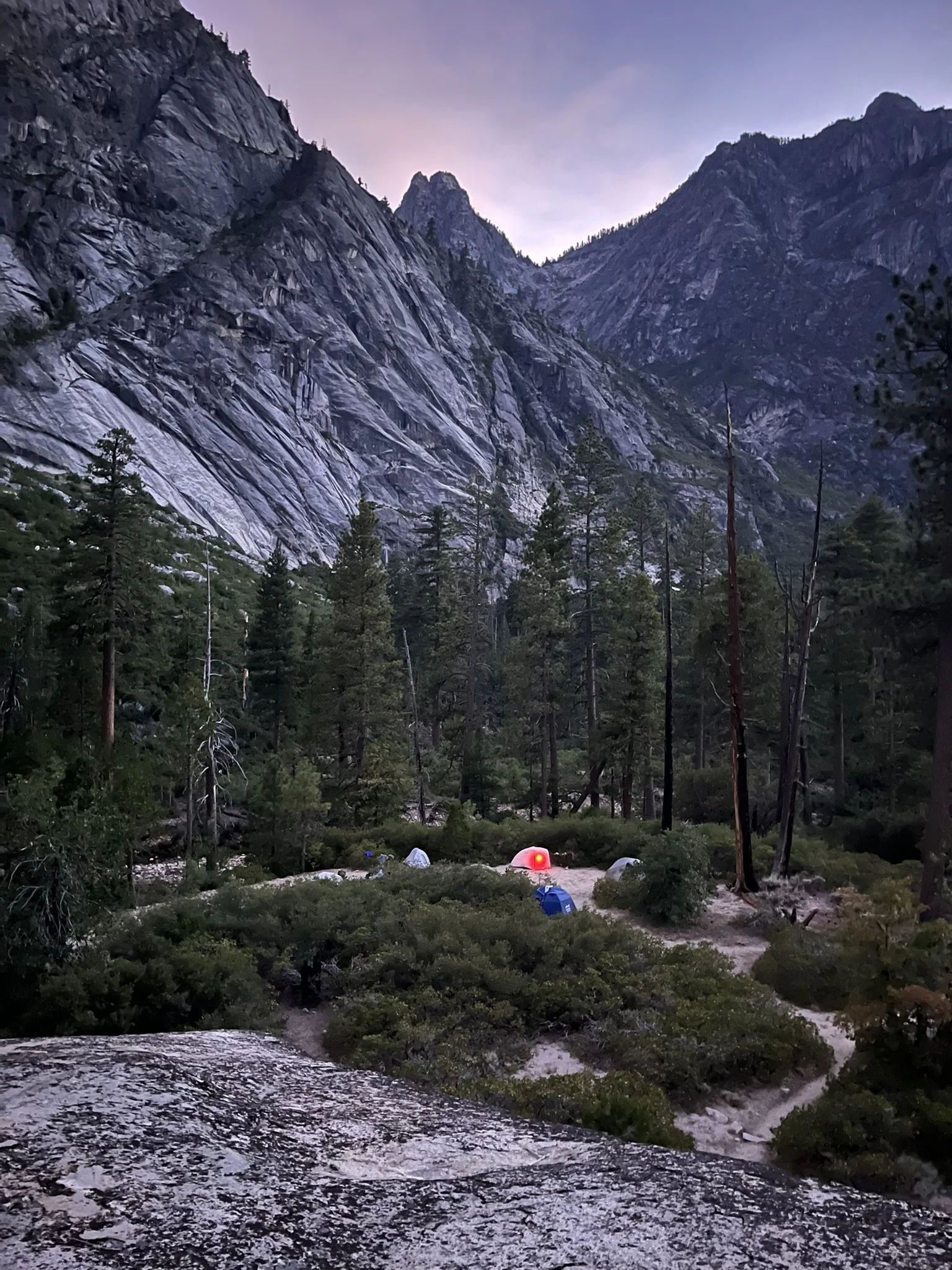
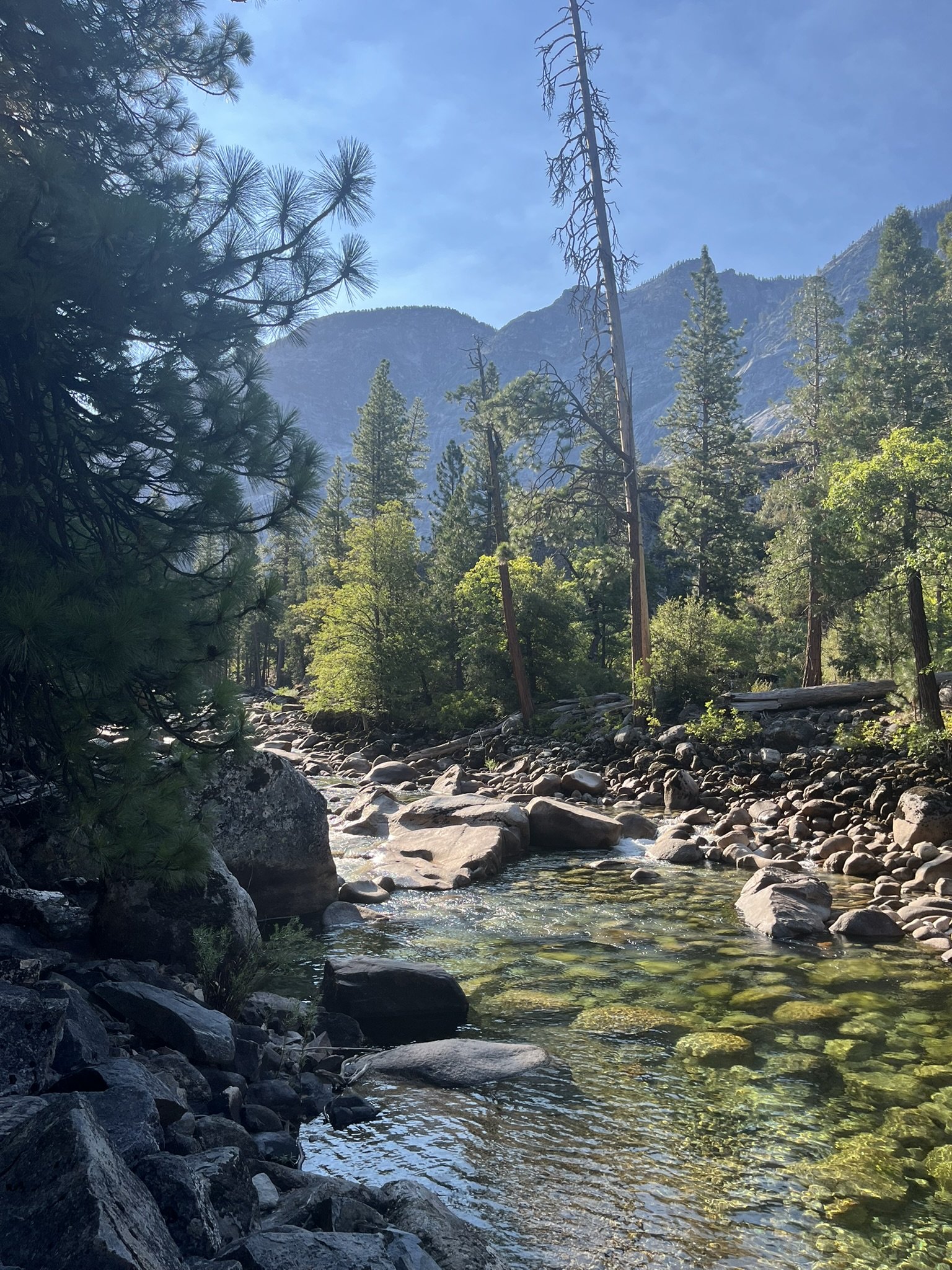
By evening, our group set up camp near the river in the Pate Valley area, where the cool air carried the rush of rapids. Dinner tasted better than it had any right to, and I fell asleep with the steady rhythm of water as my companion.
Day 2 – Rapids and Granite Walls
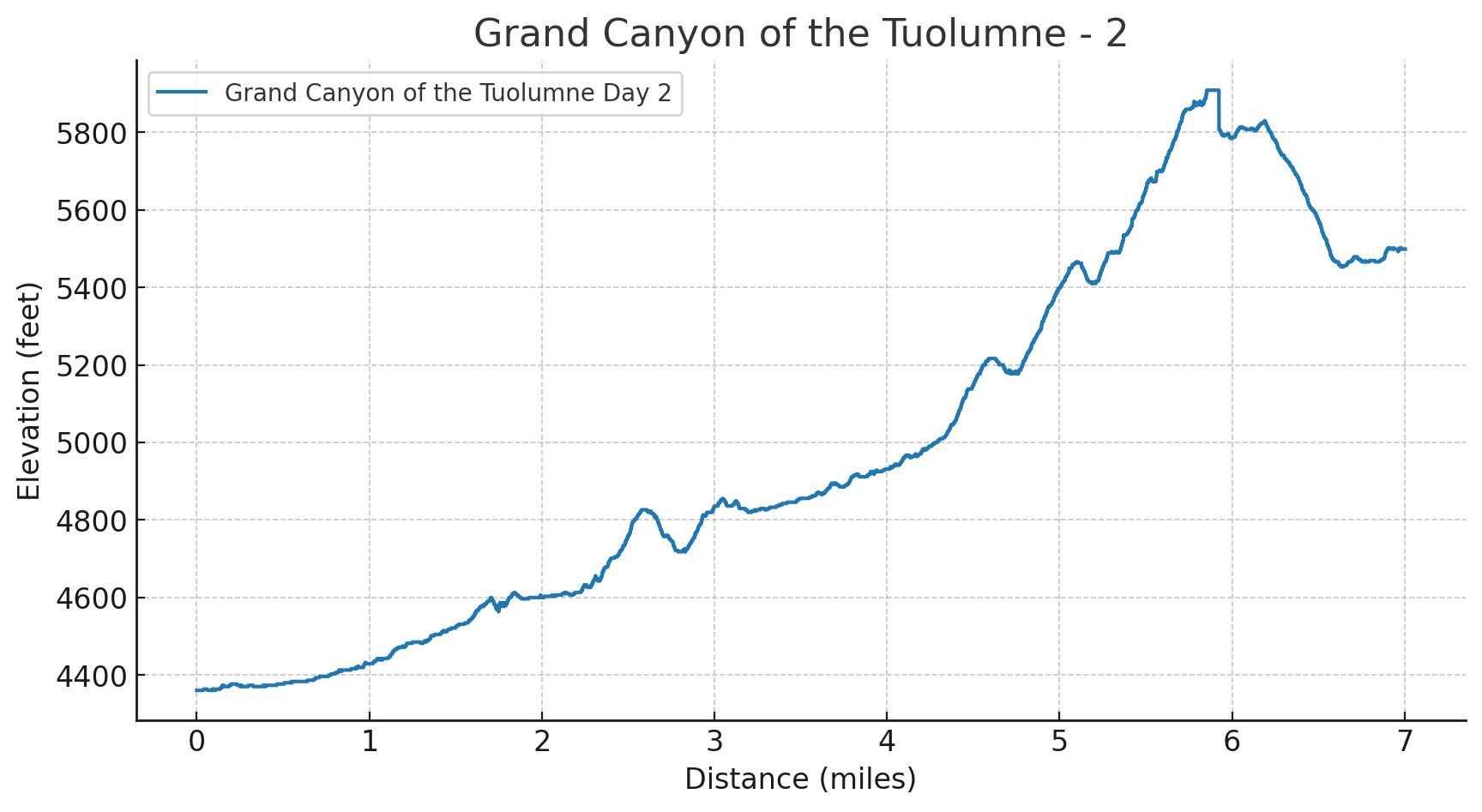
Distance: 7.0 miles
Elevation Gain: 2,575 ft | Loss: 1,437 ft
Start Elevation: 4,360 ft | End Elevation: 5,499 ft
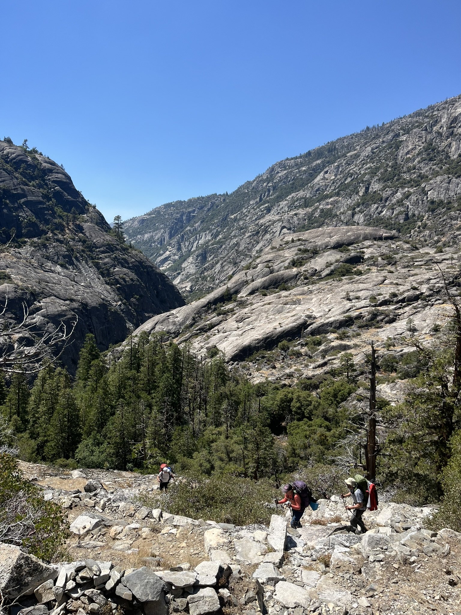
Day 2 was about finding balance — between climbing and recovering from the tough descent of the previous day, between heat and shade, between the sheer effort of the trail and the reward of the river beside it.
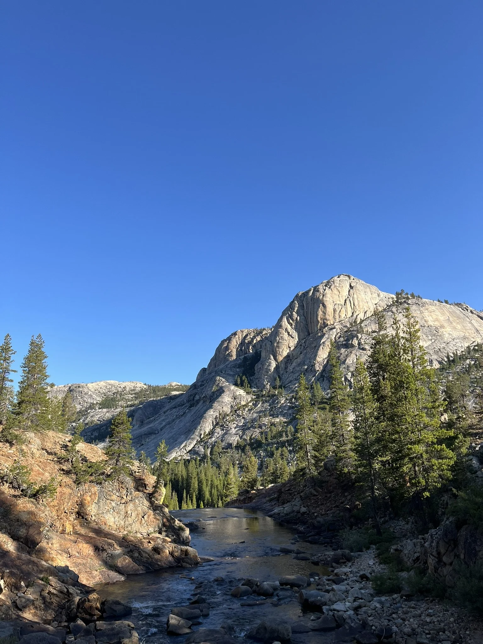
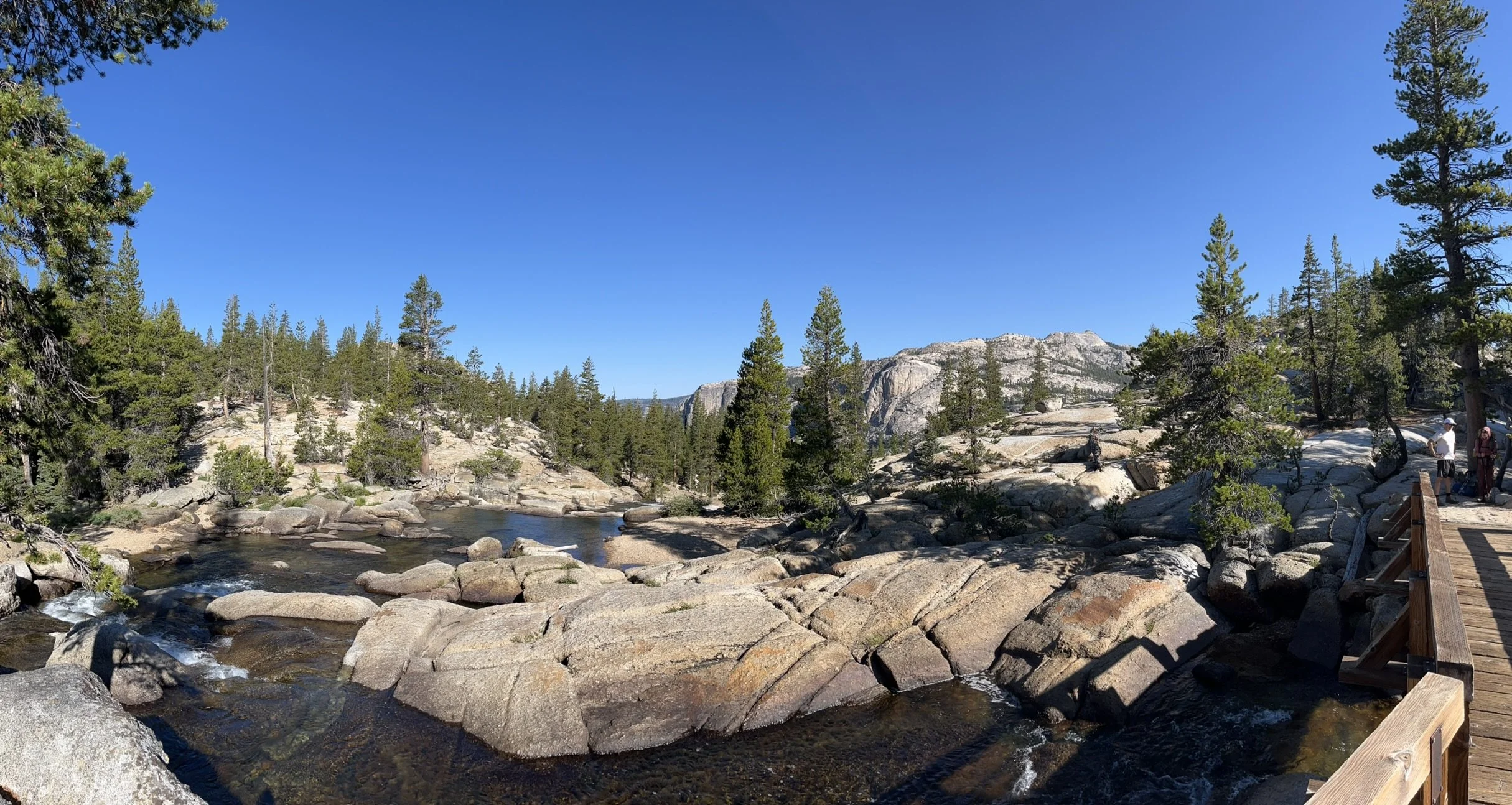
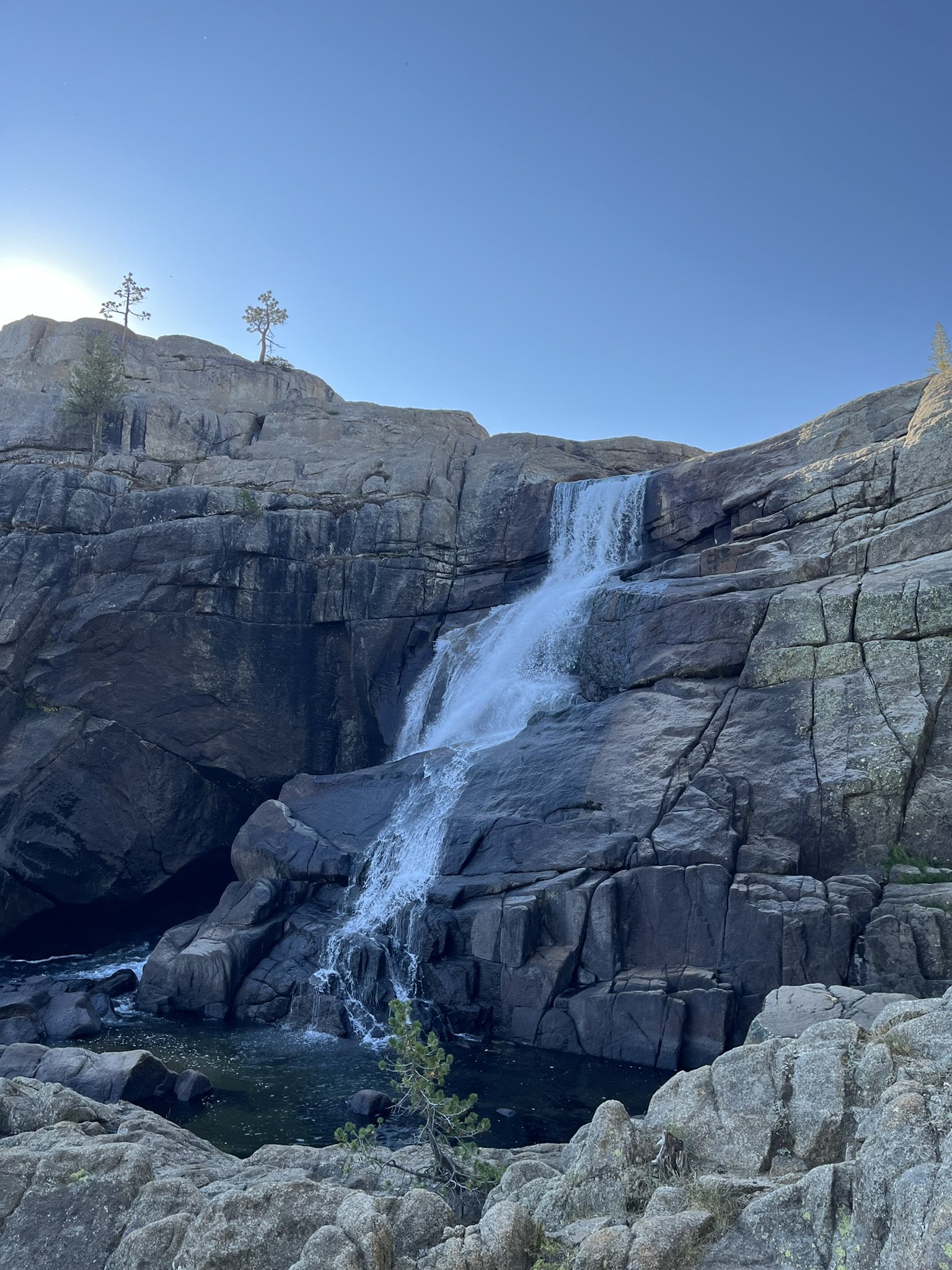
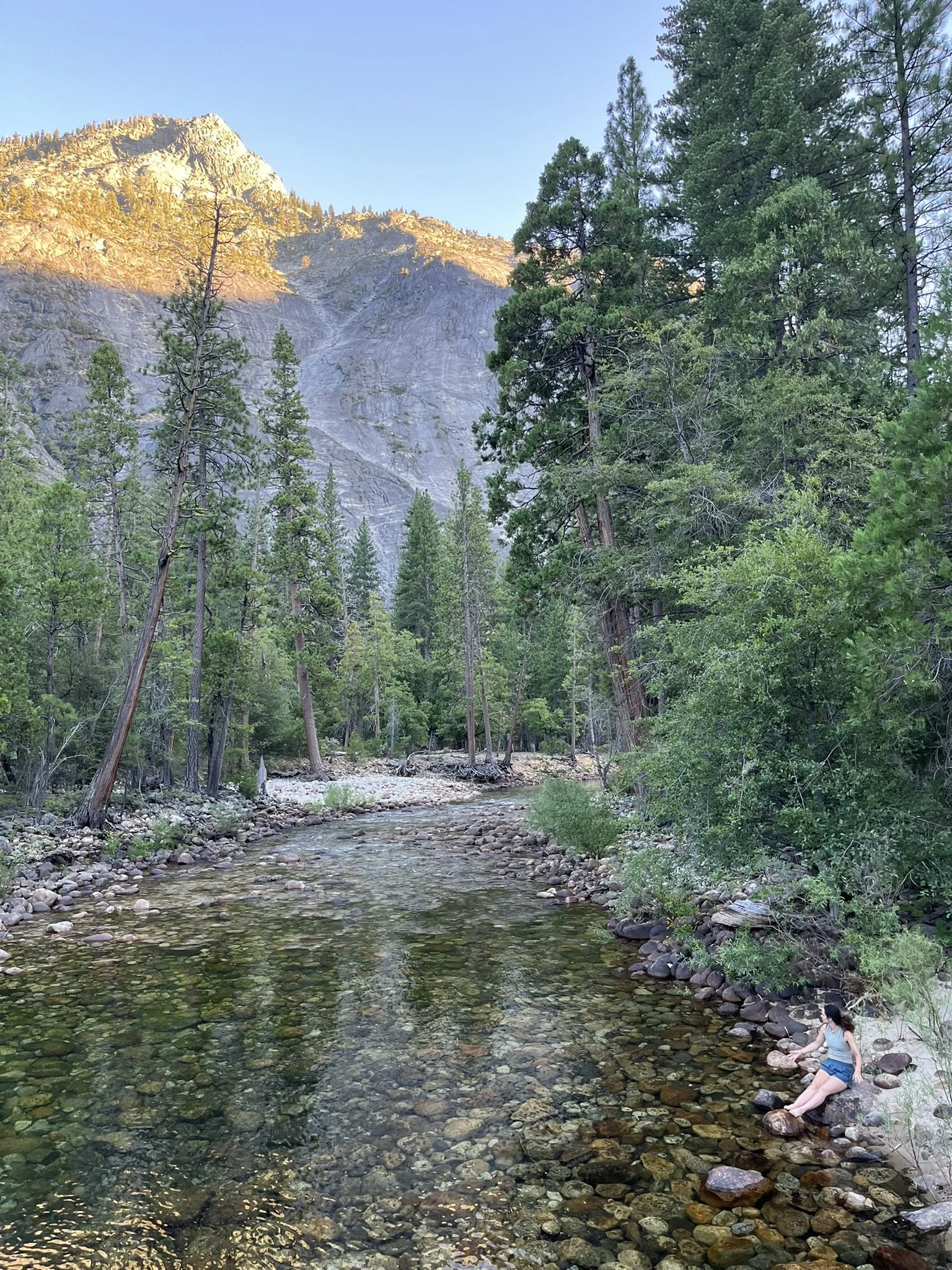
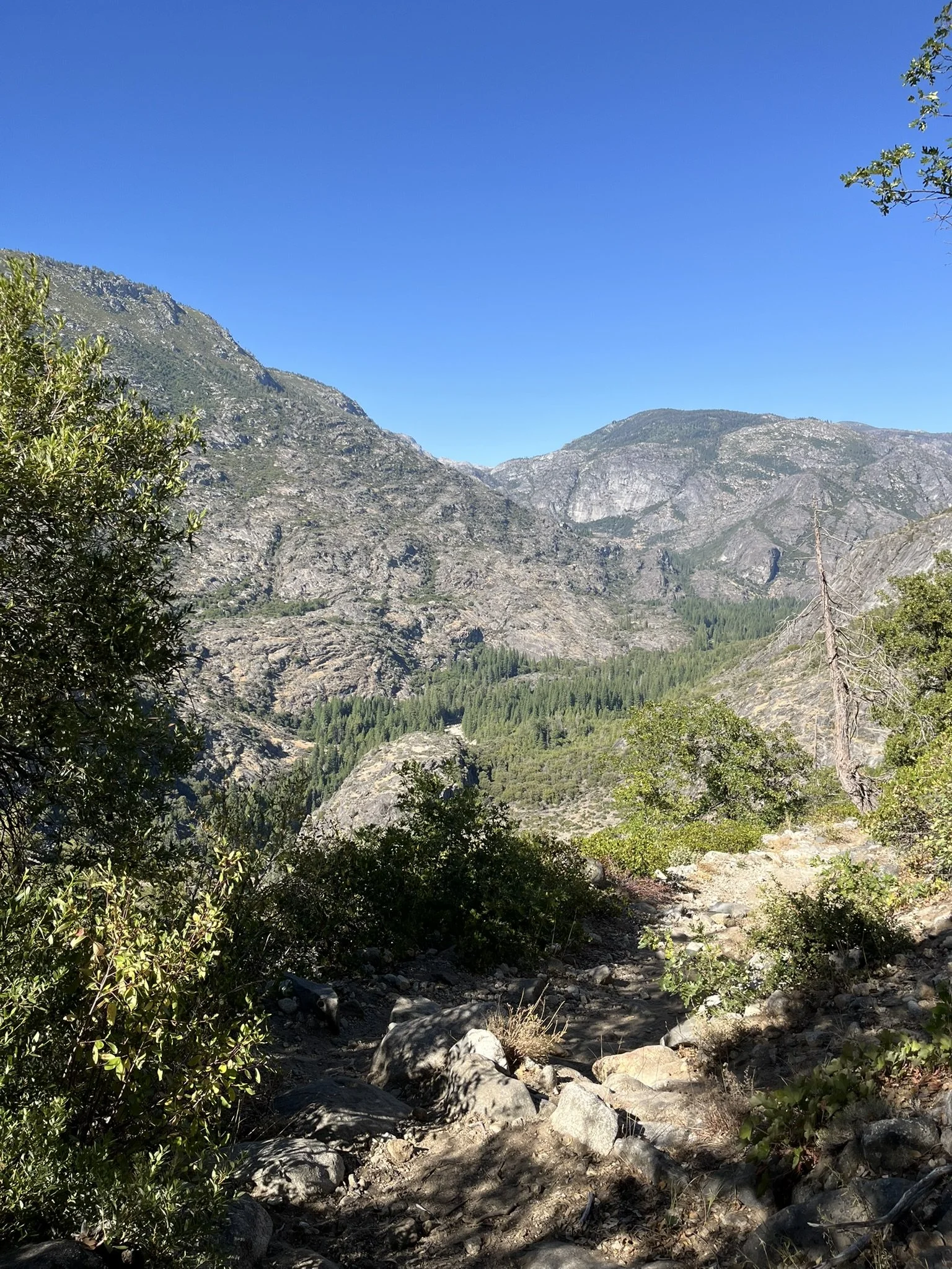
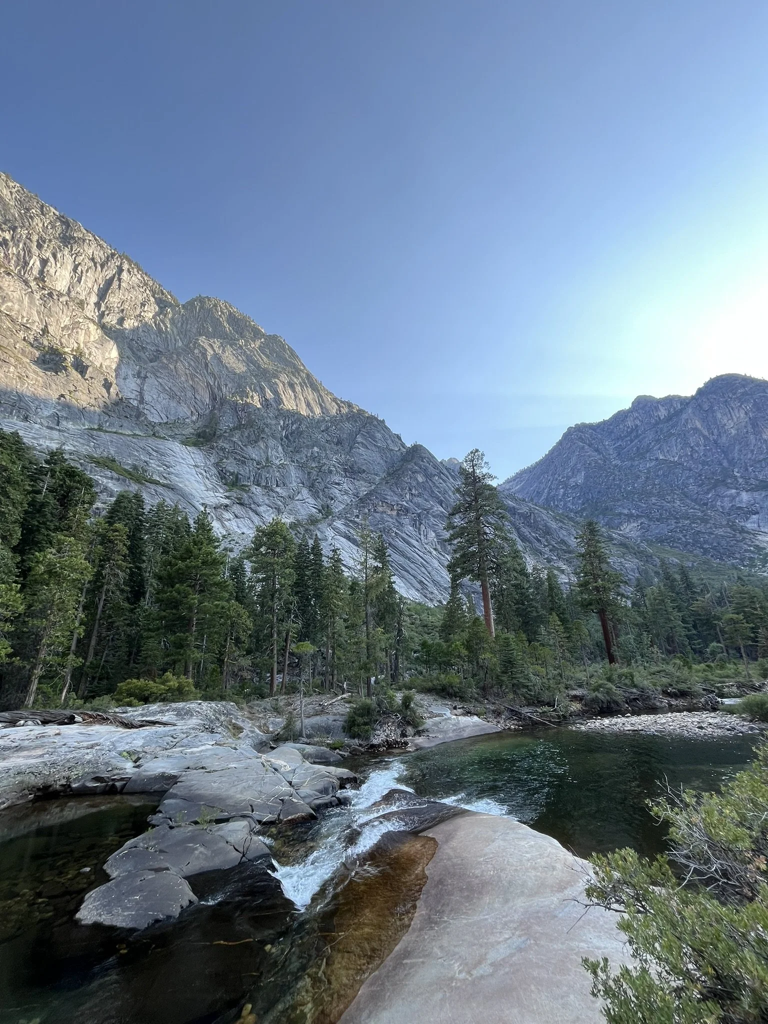
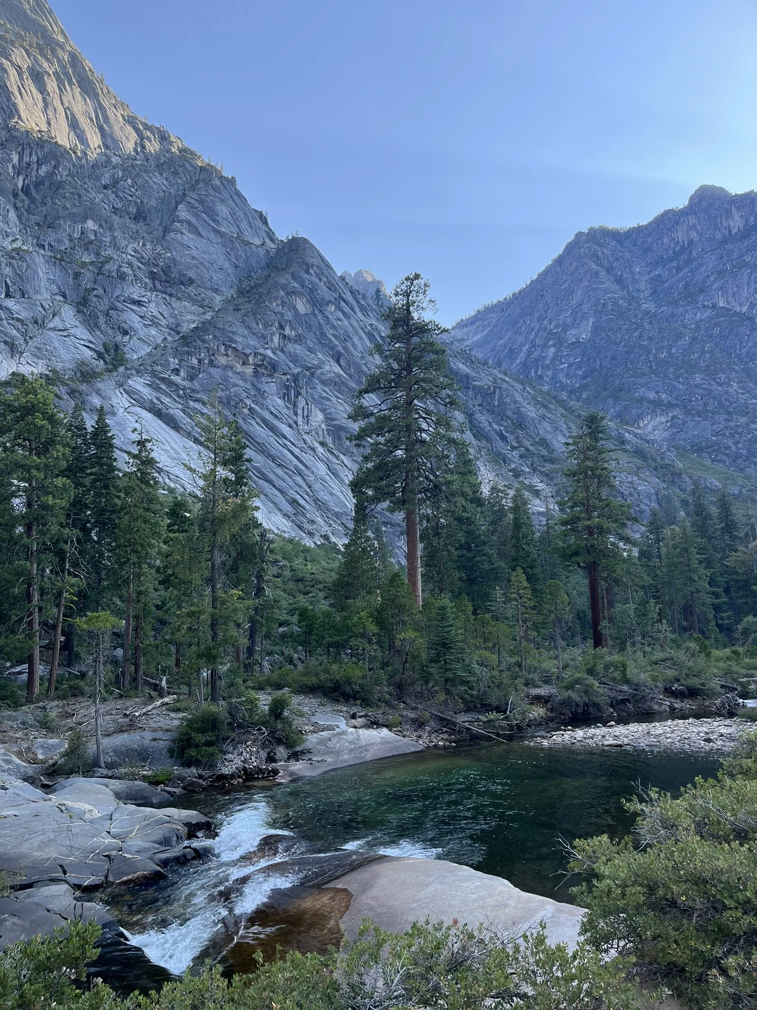
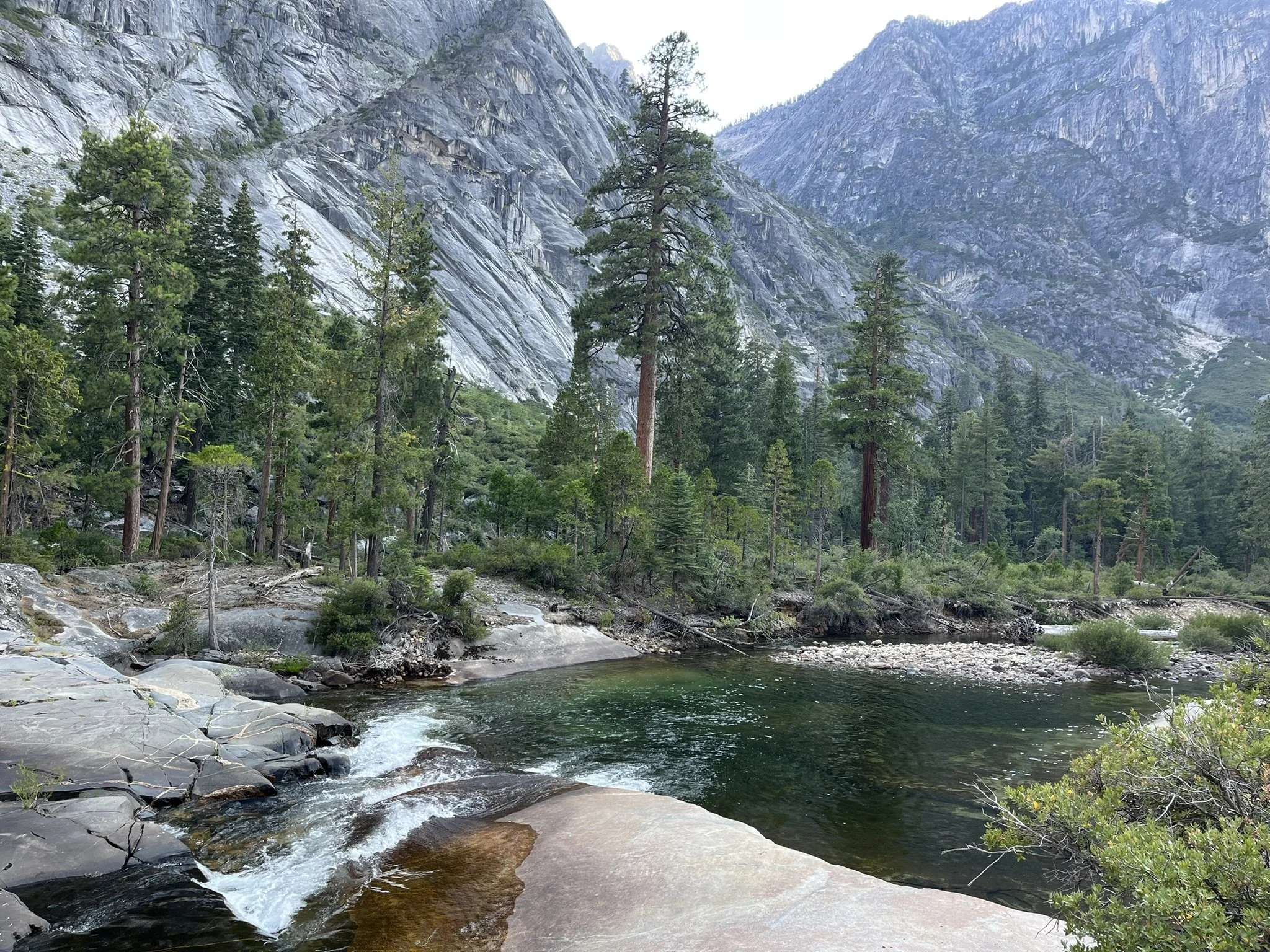
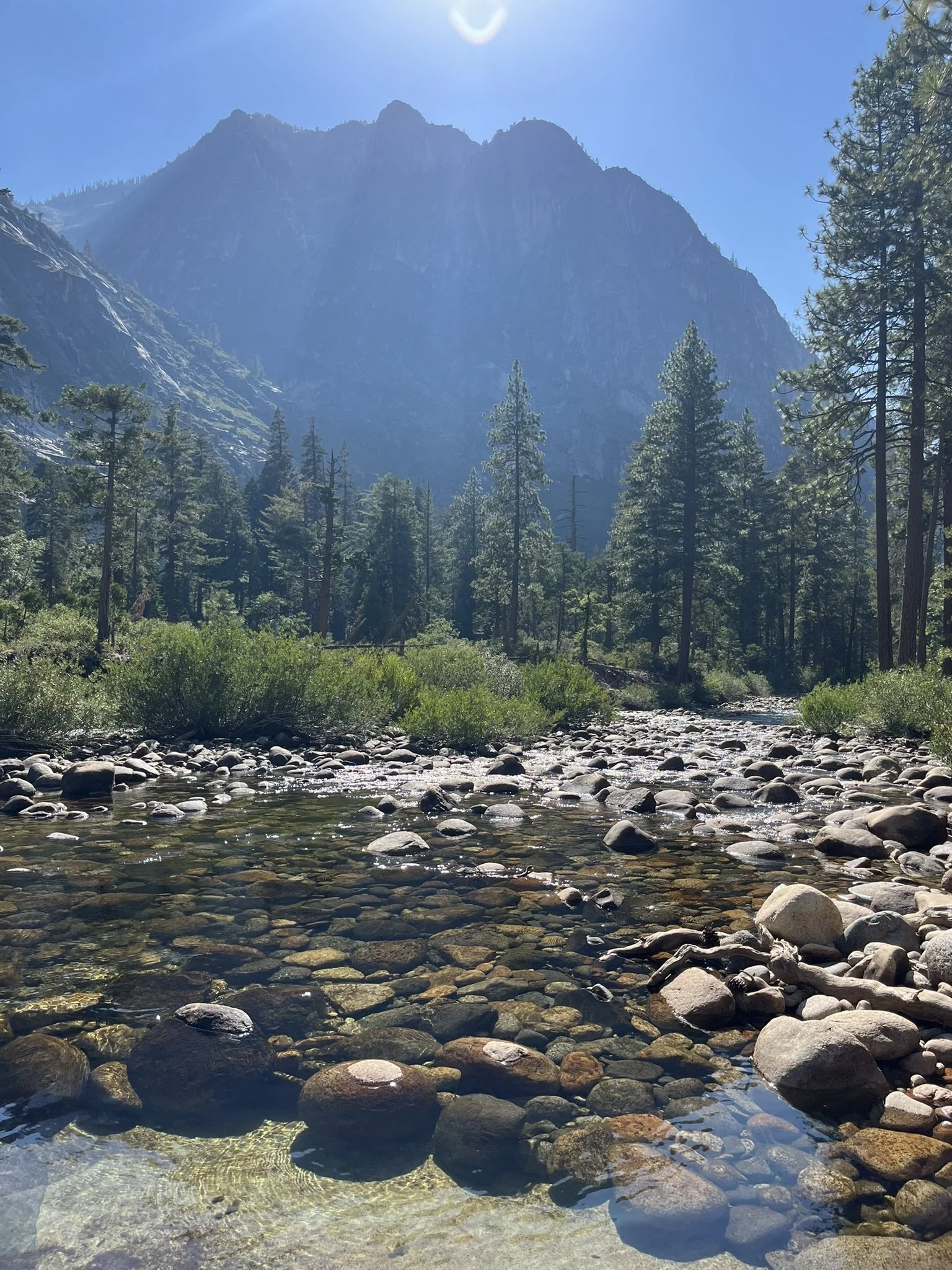
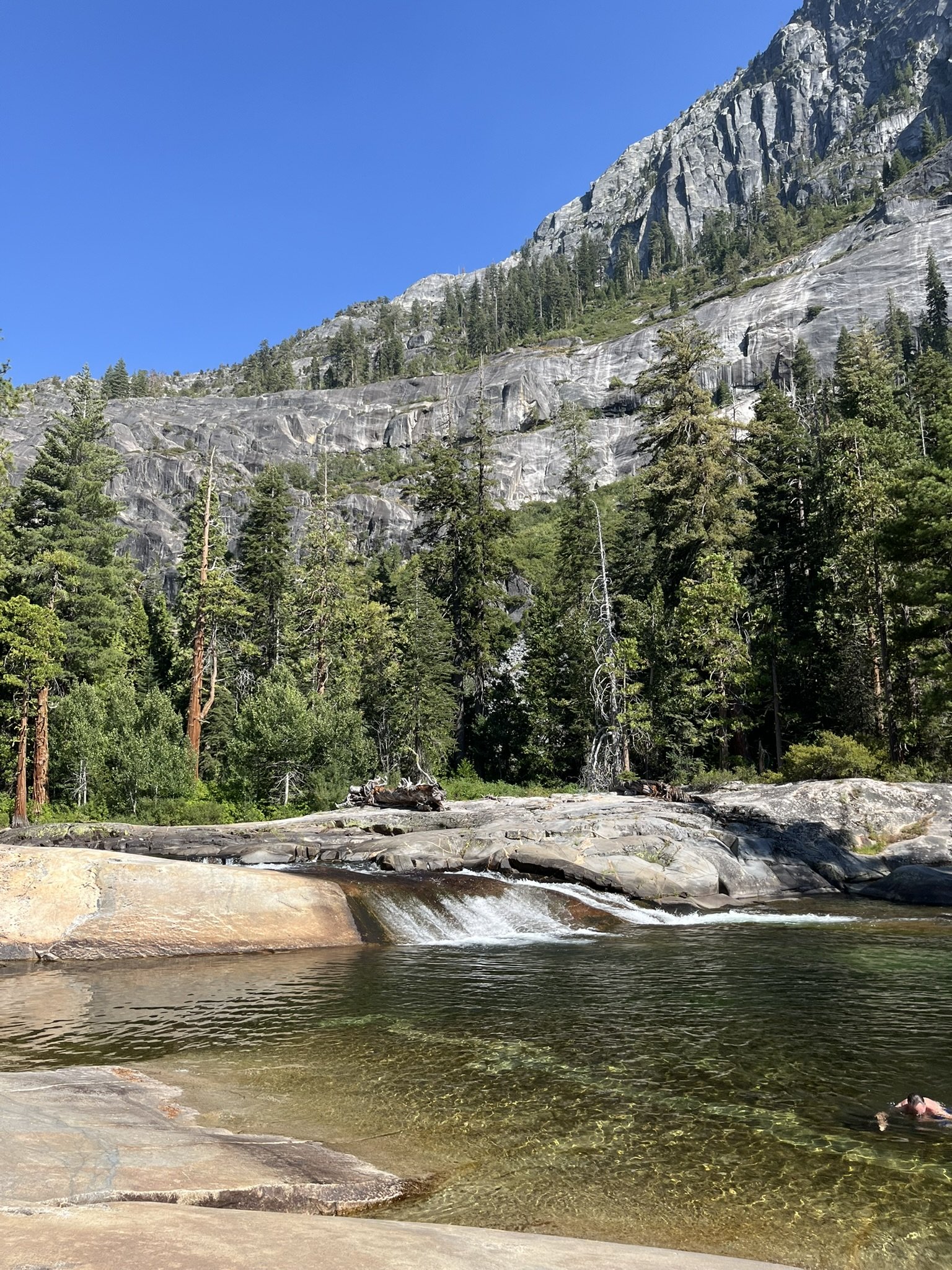
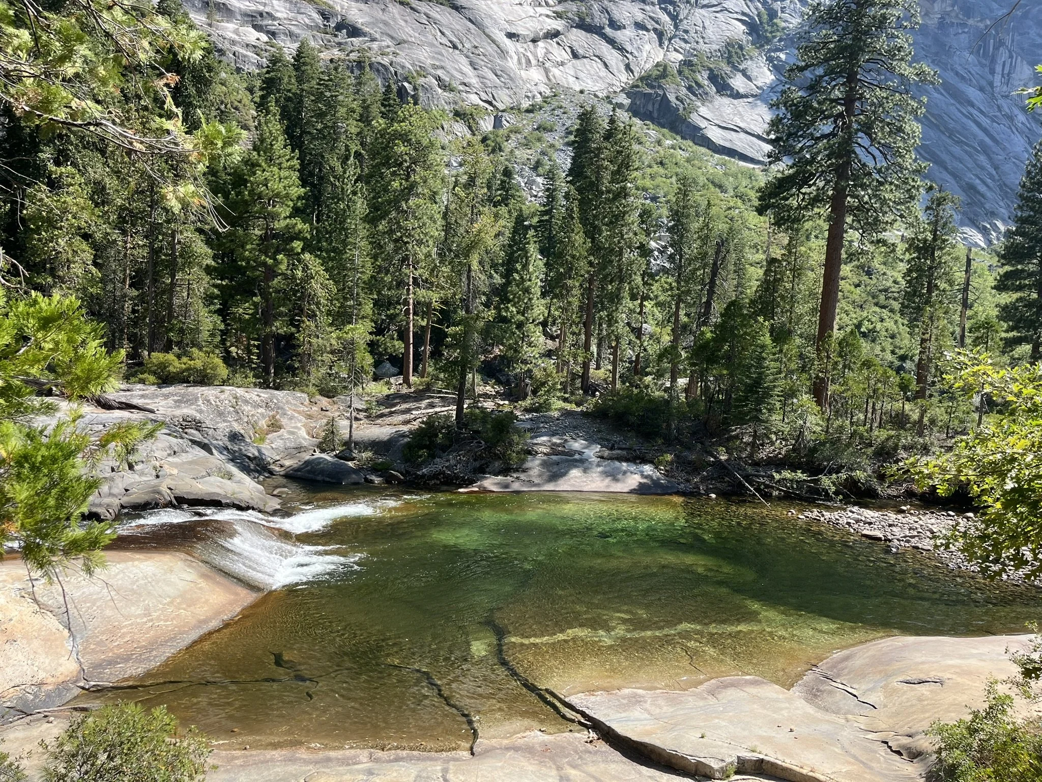
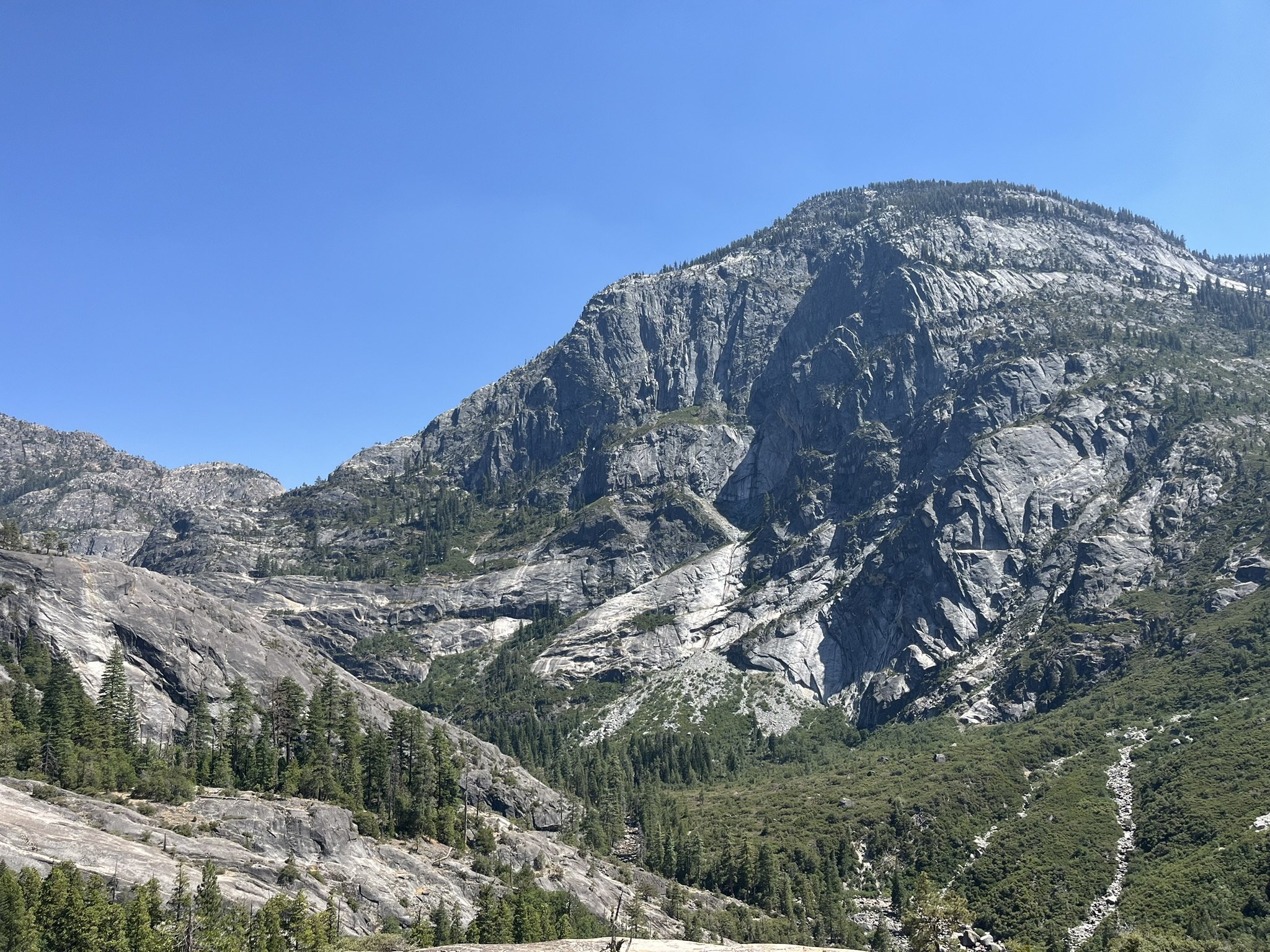
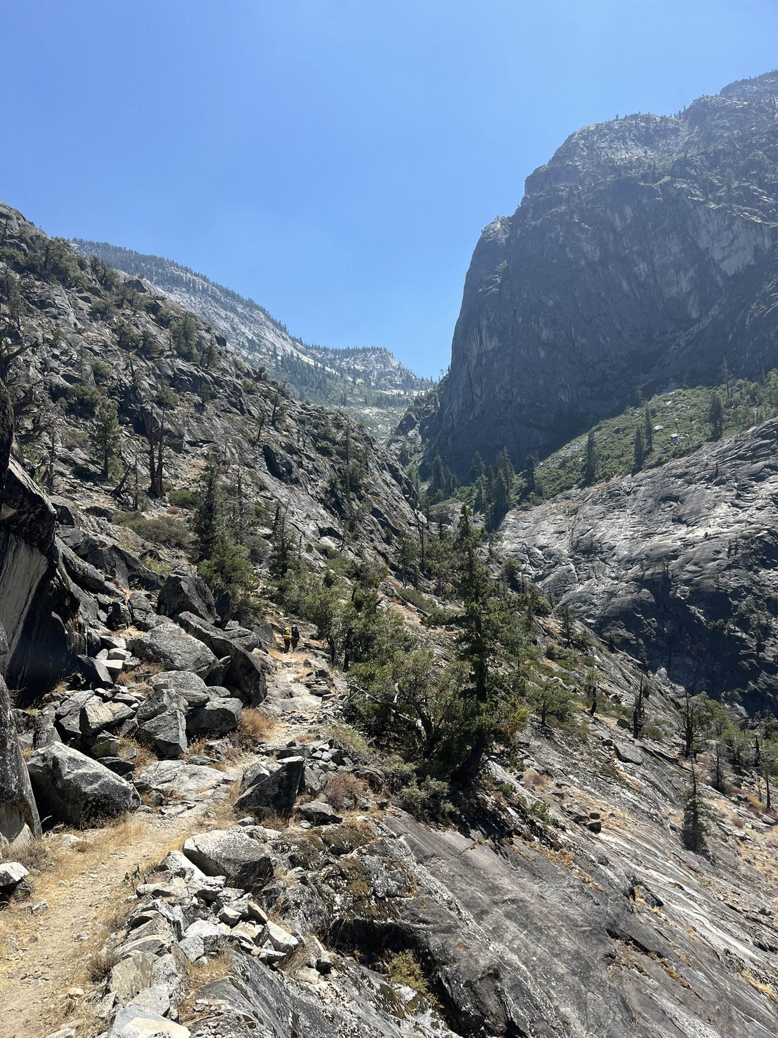
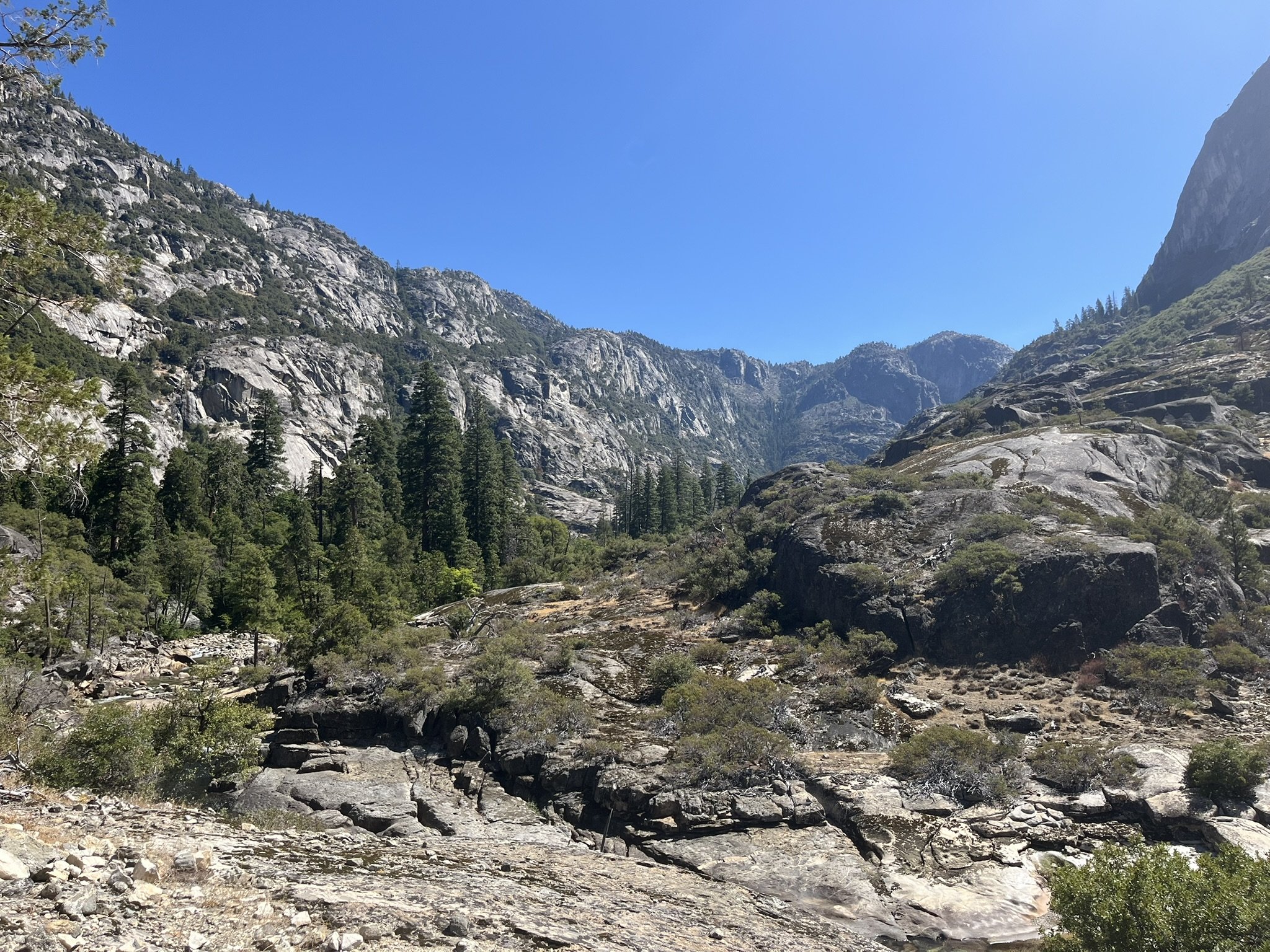
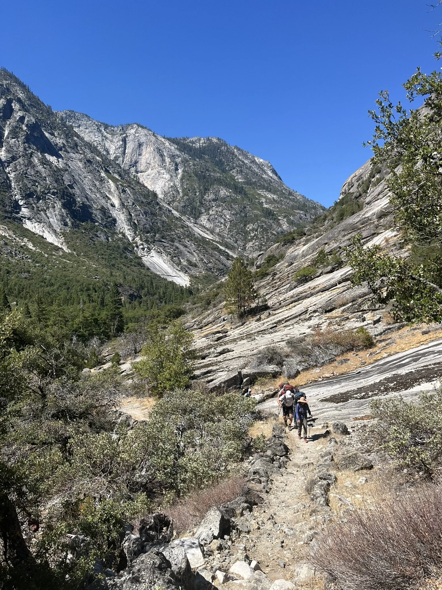
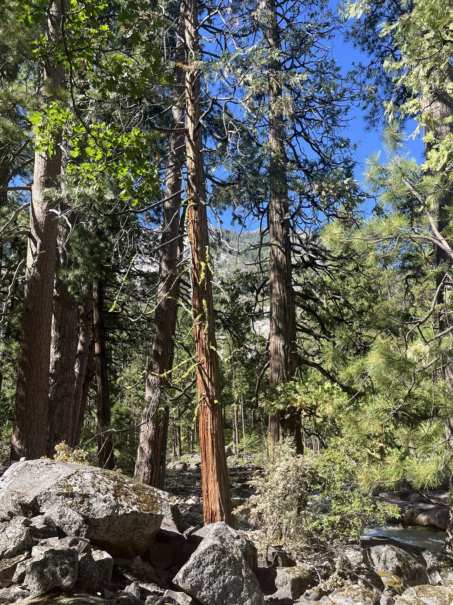
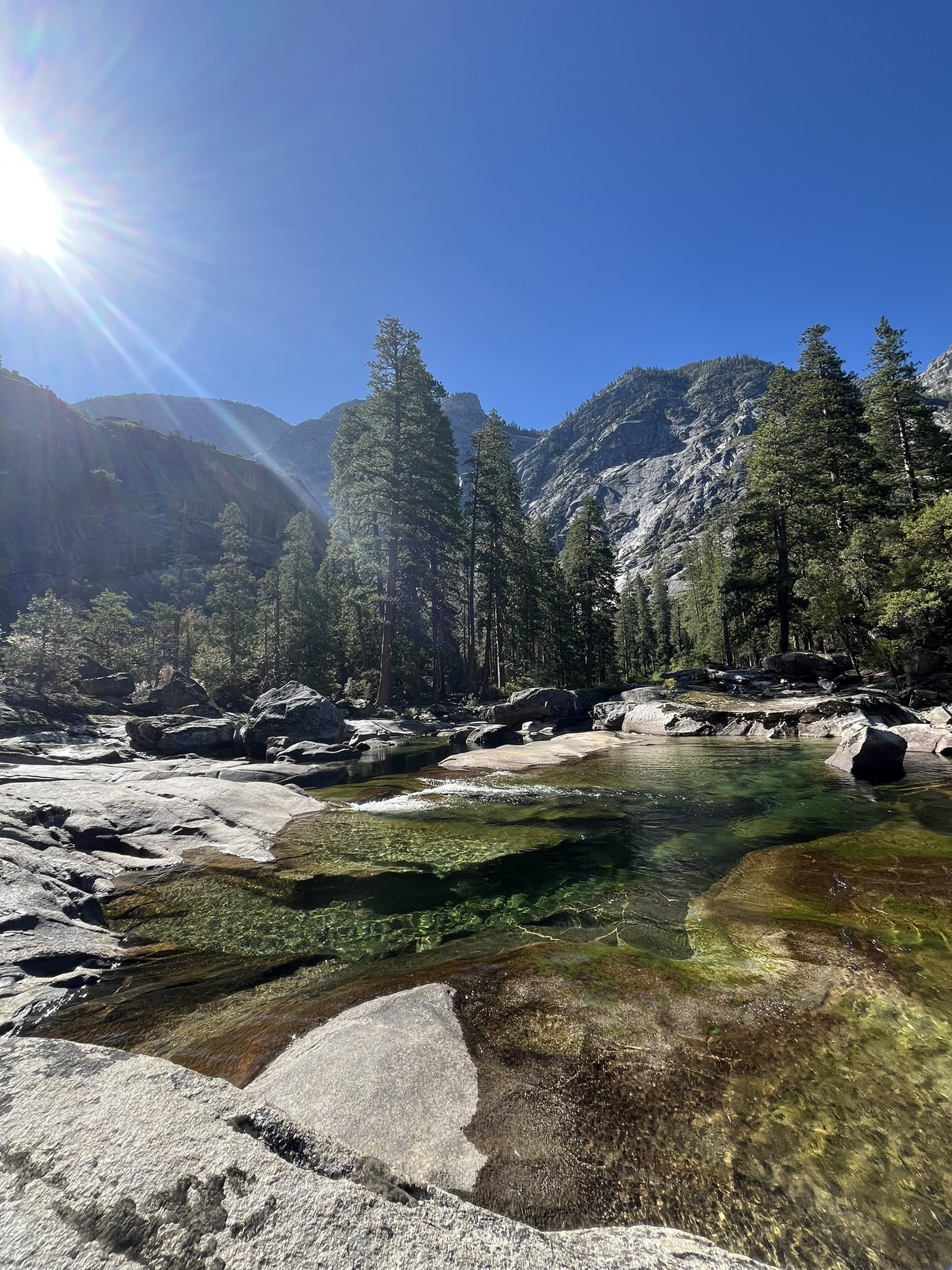
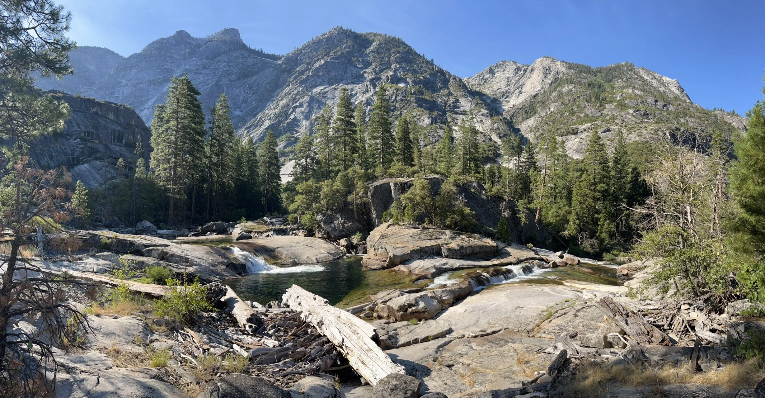
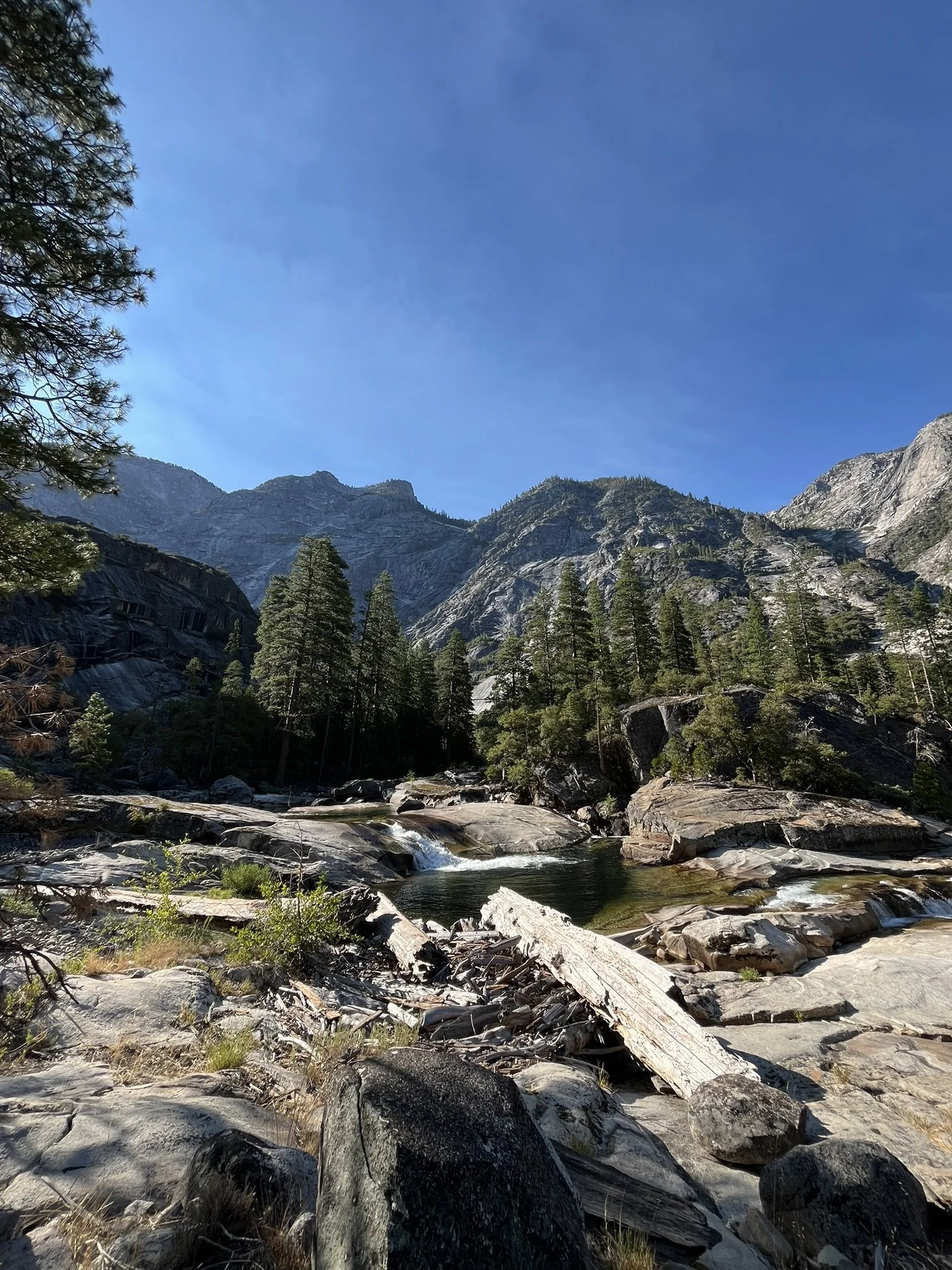
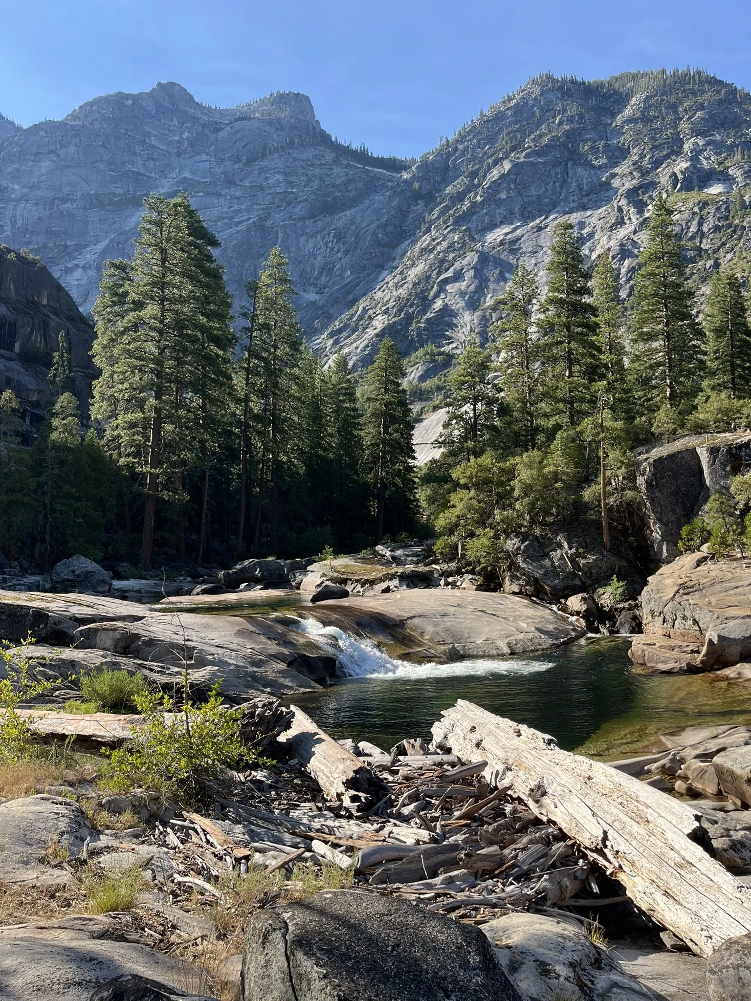
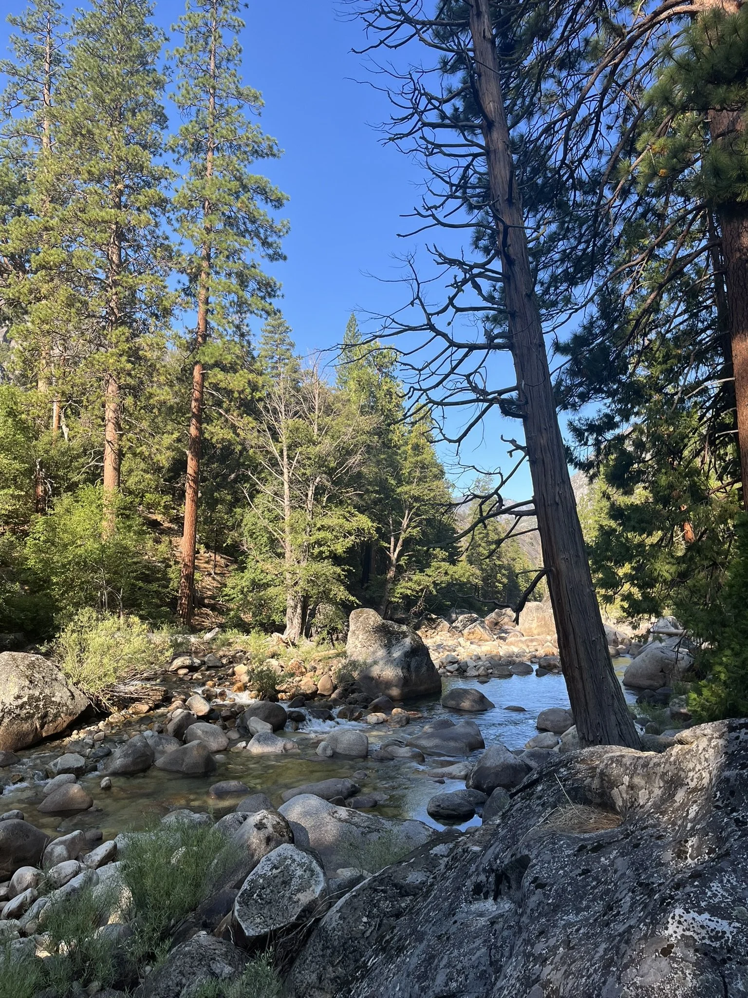
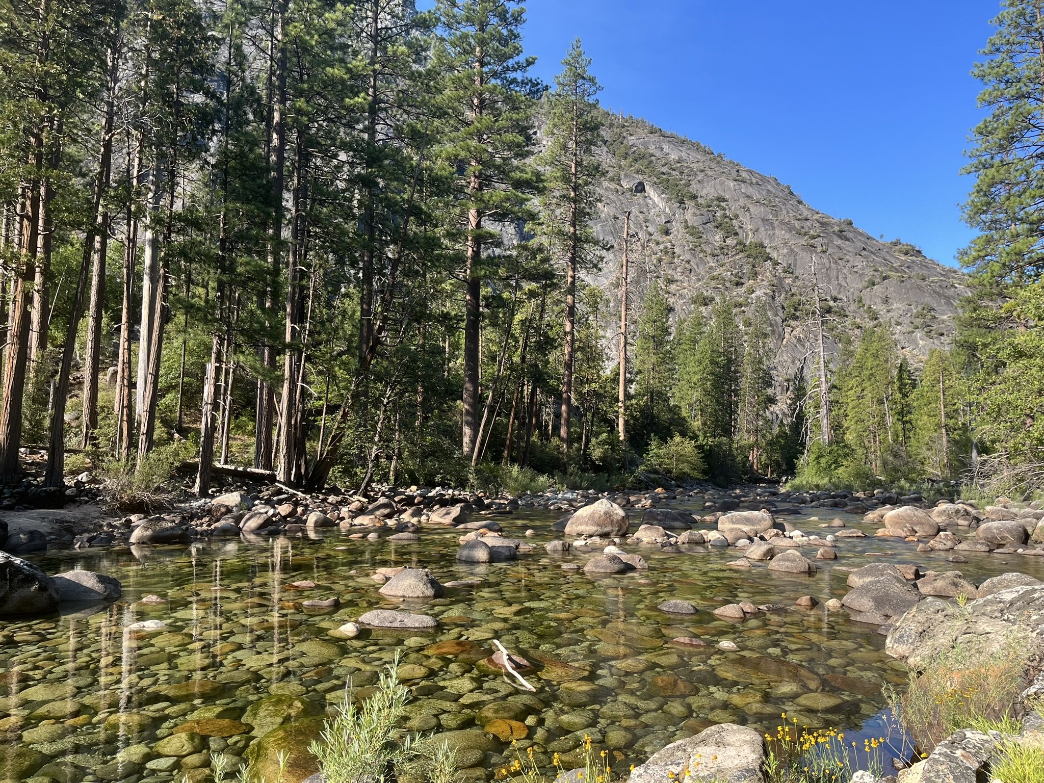
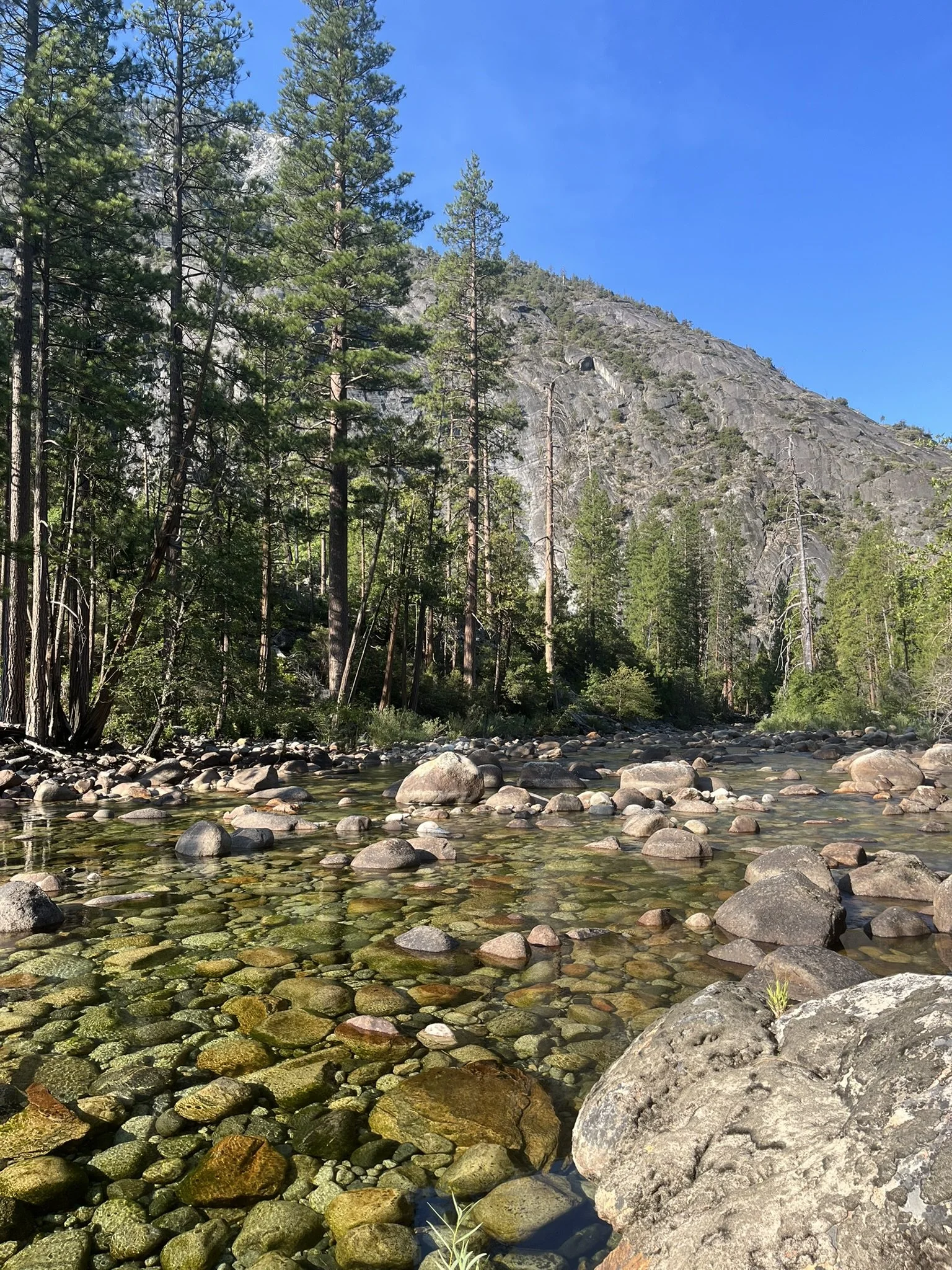
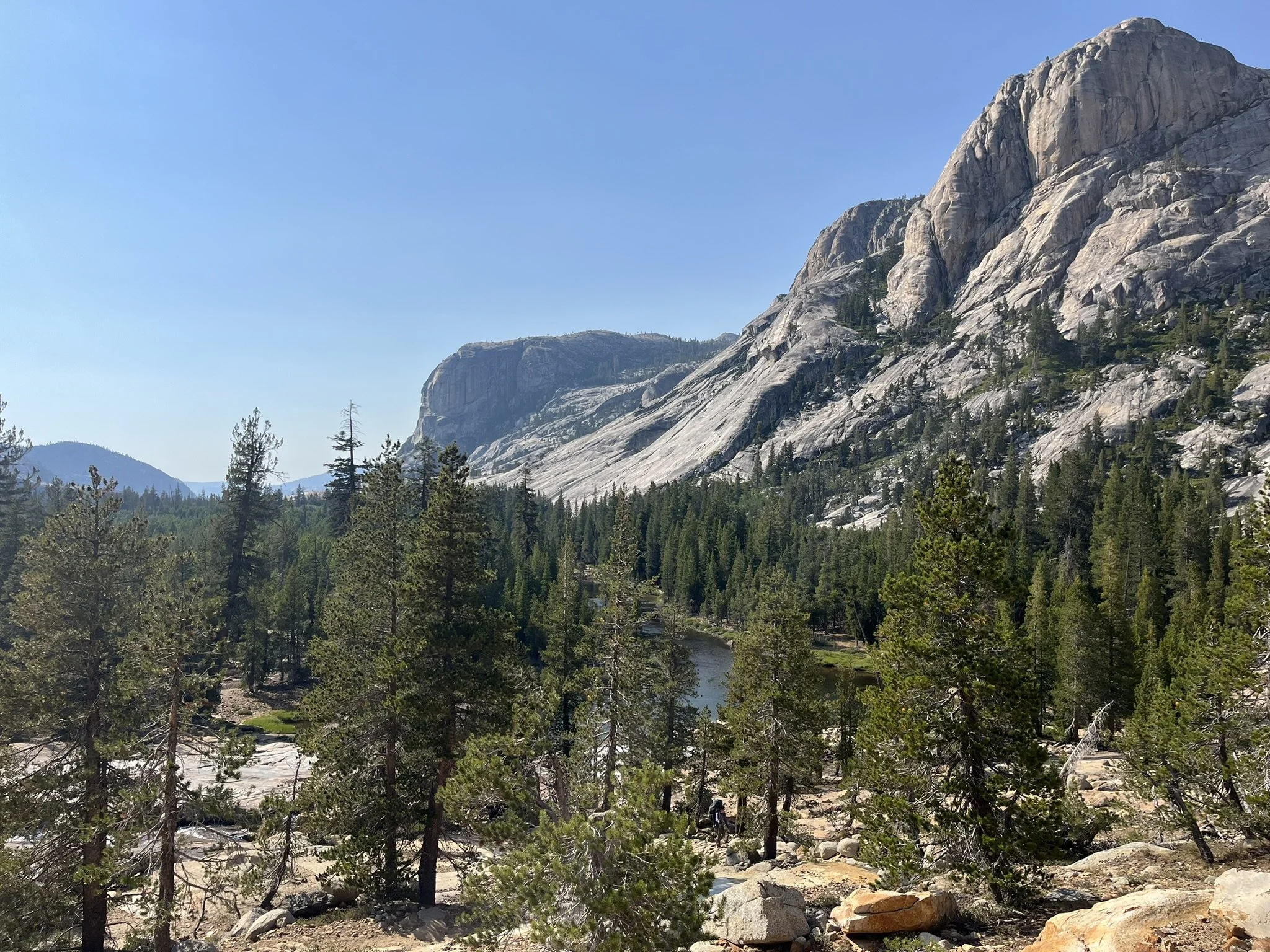
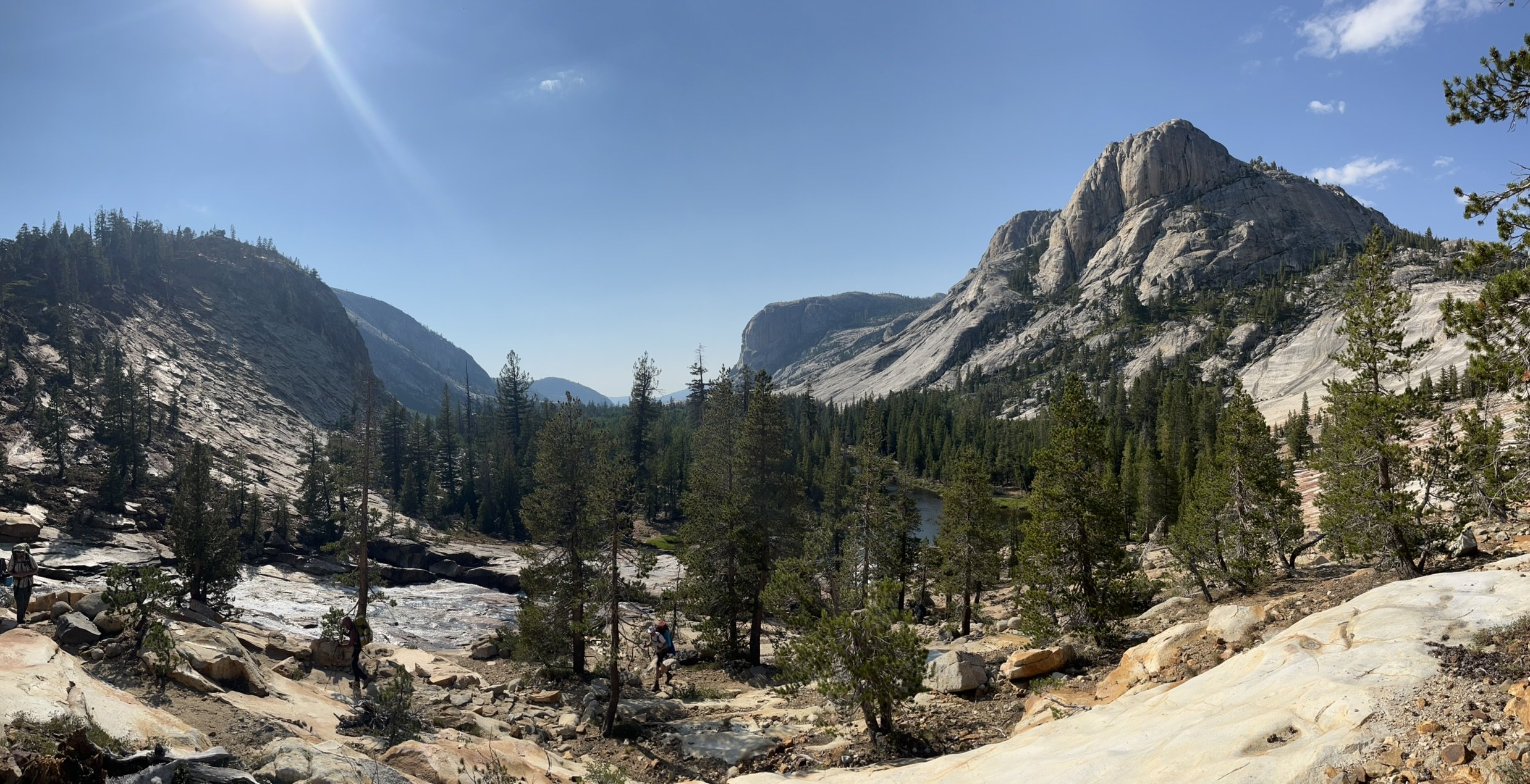
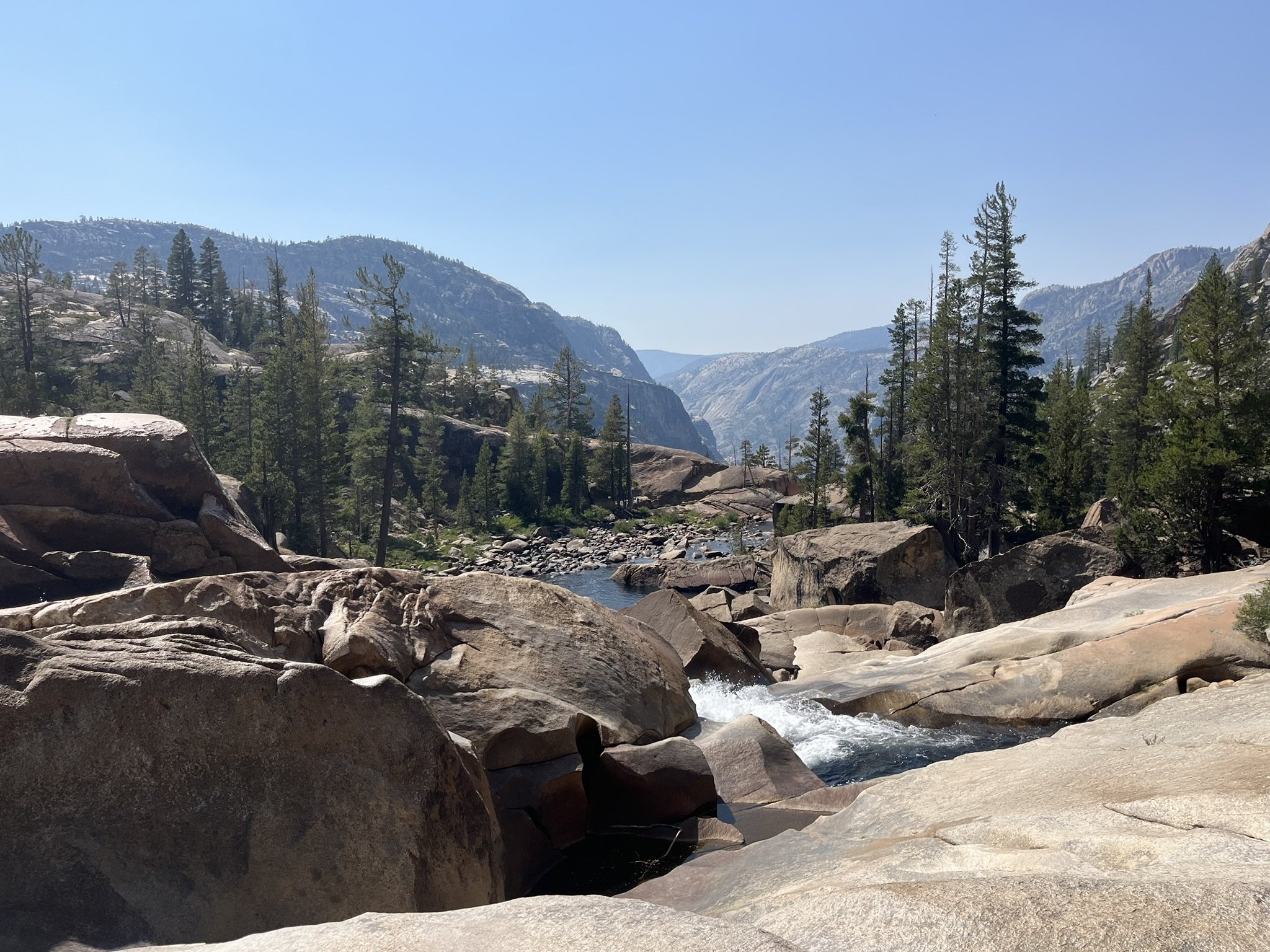
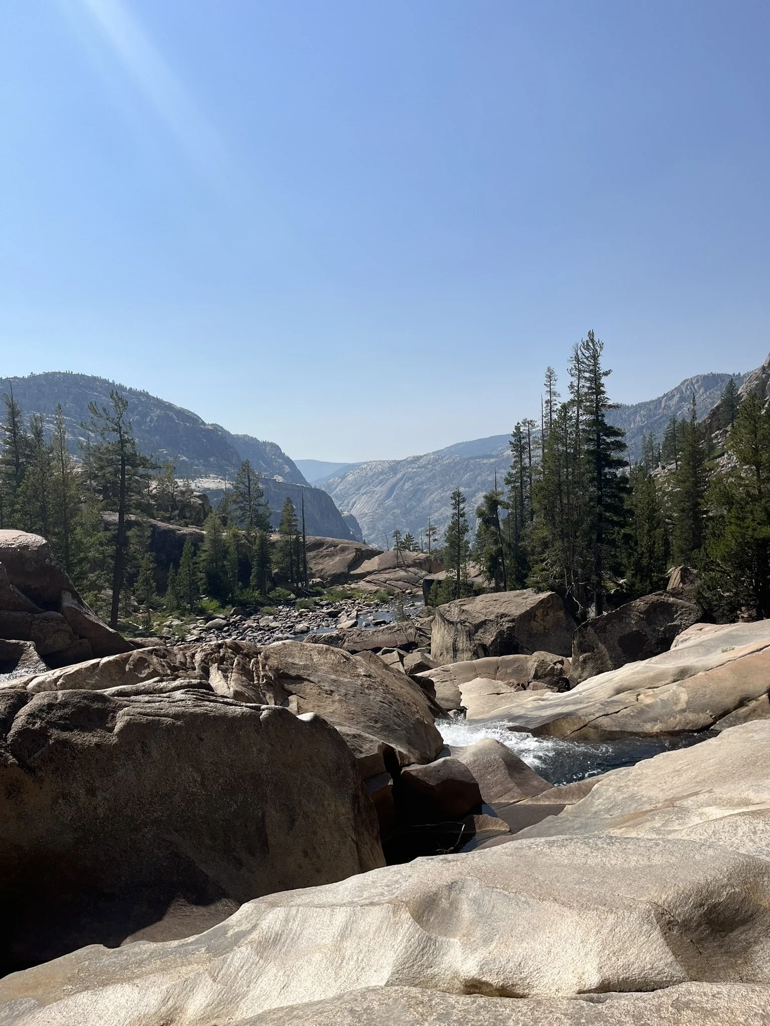
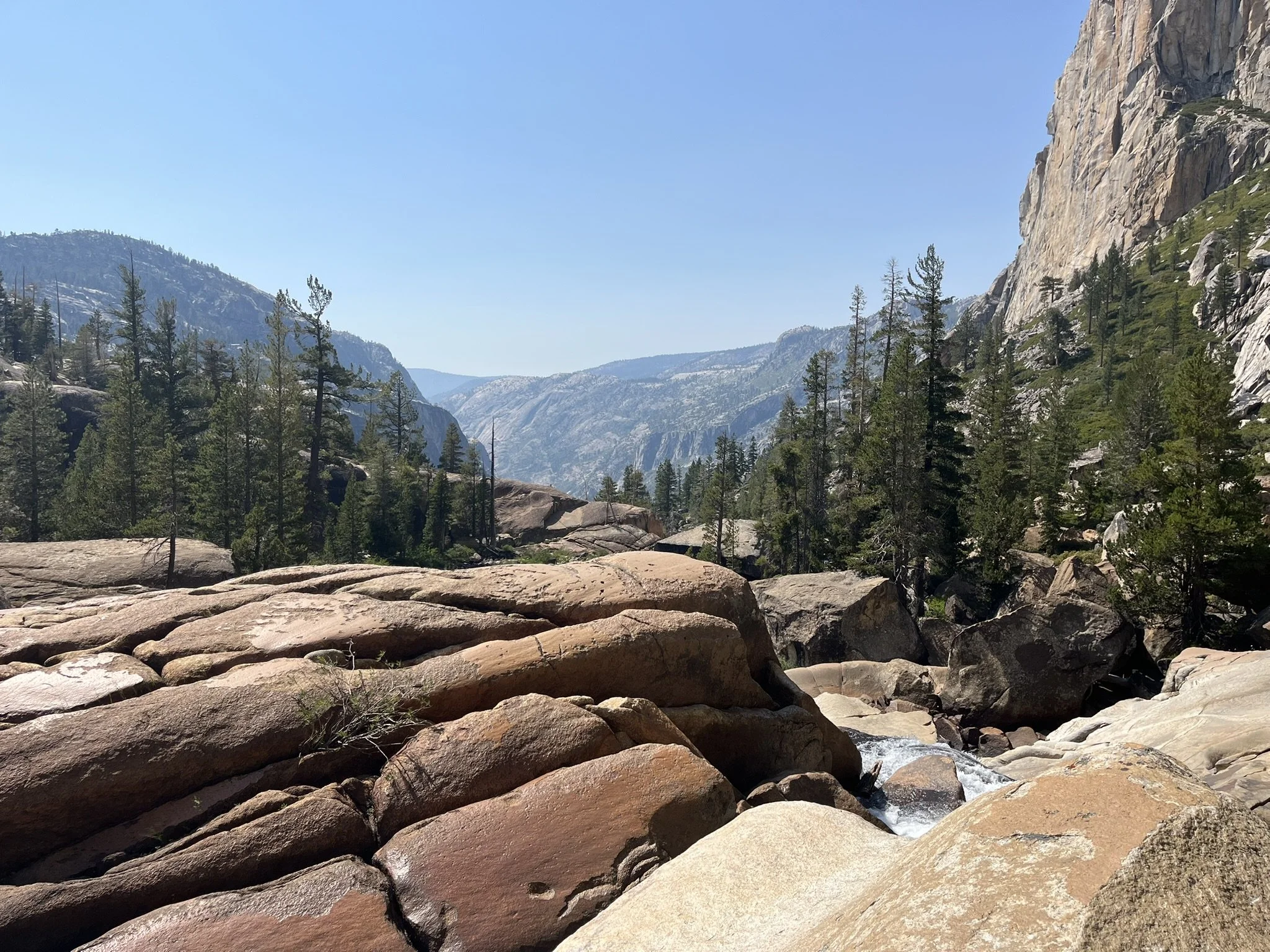
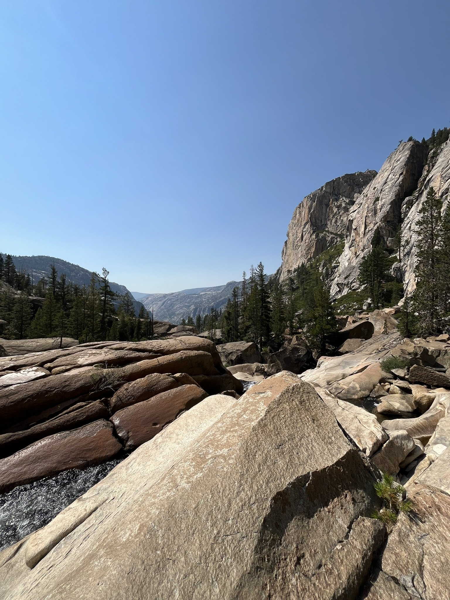
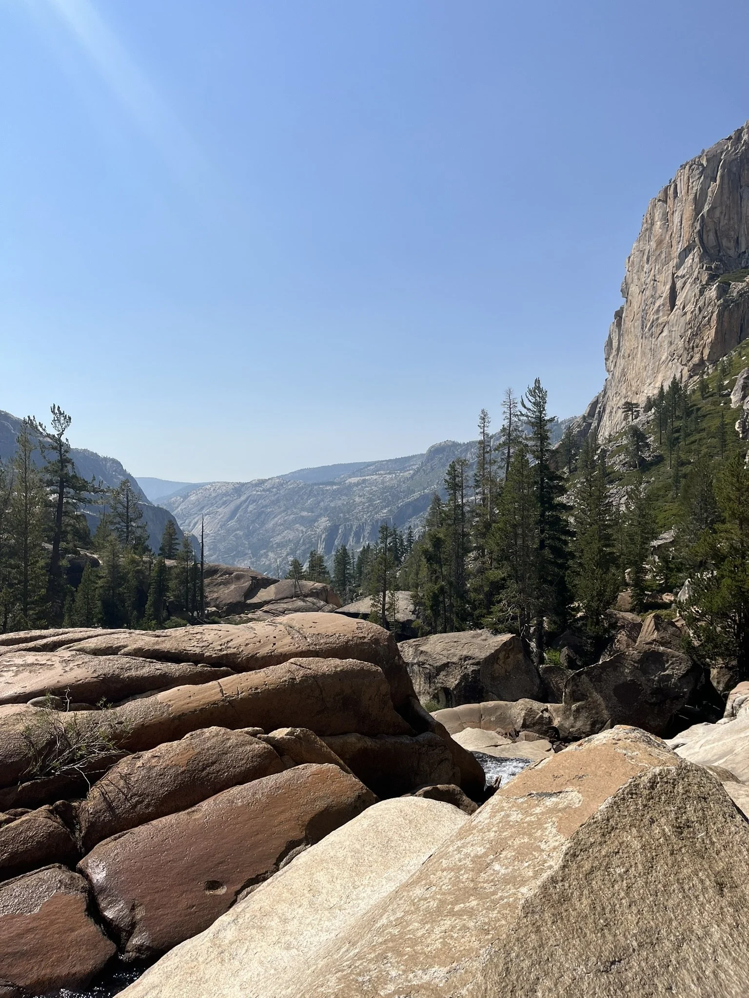
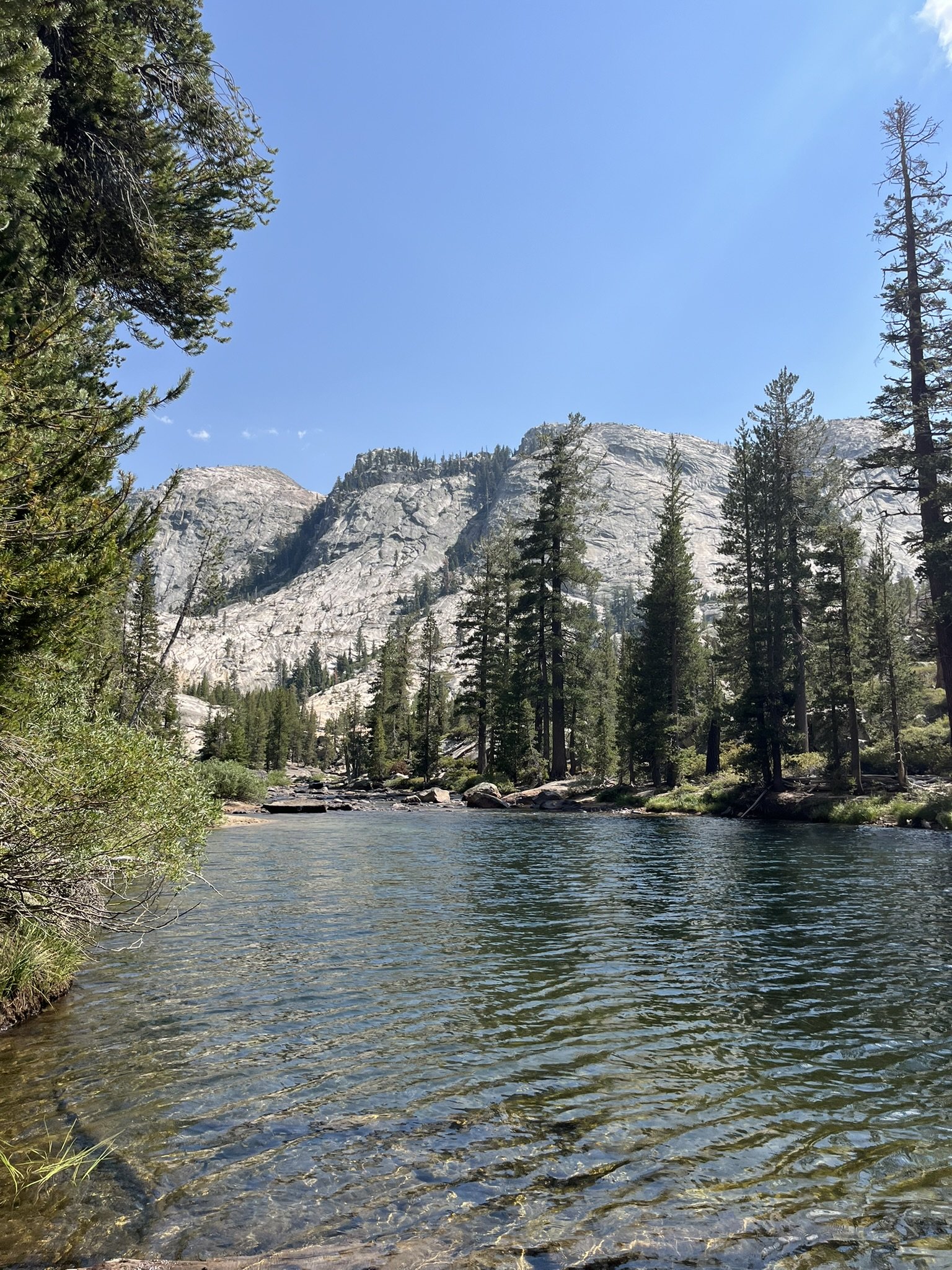
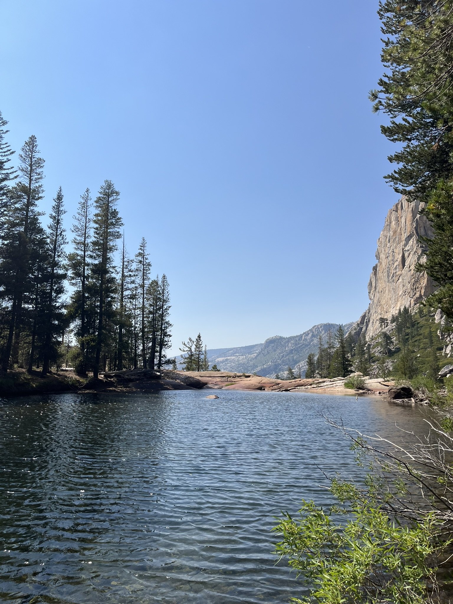
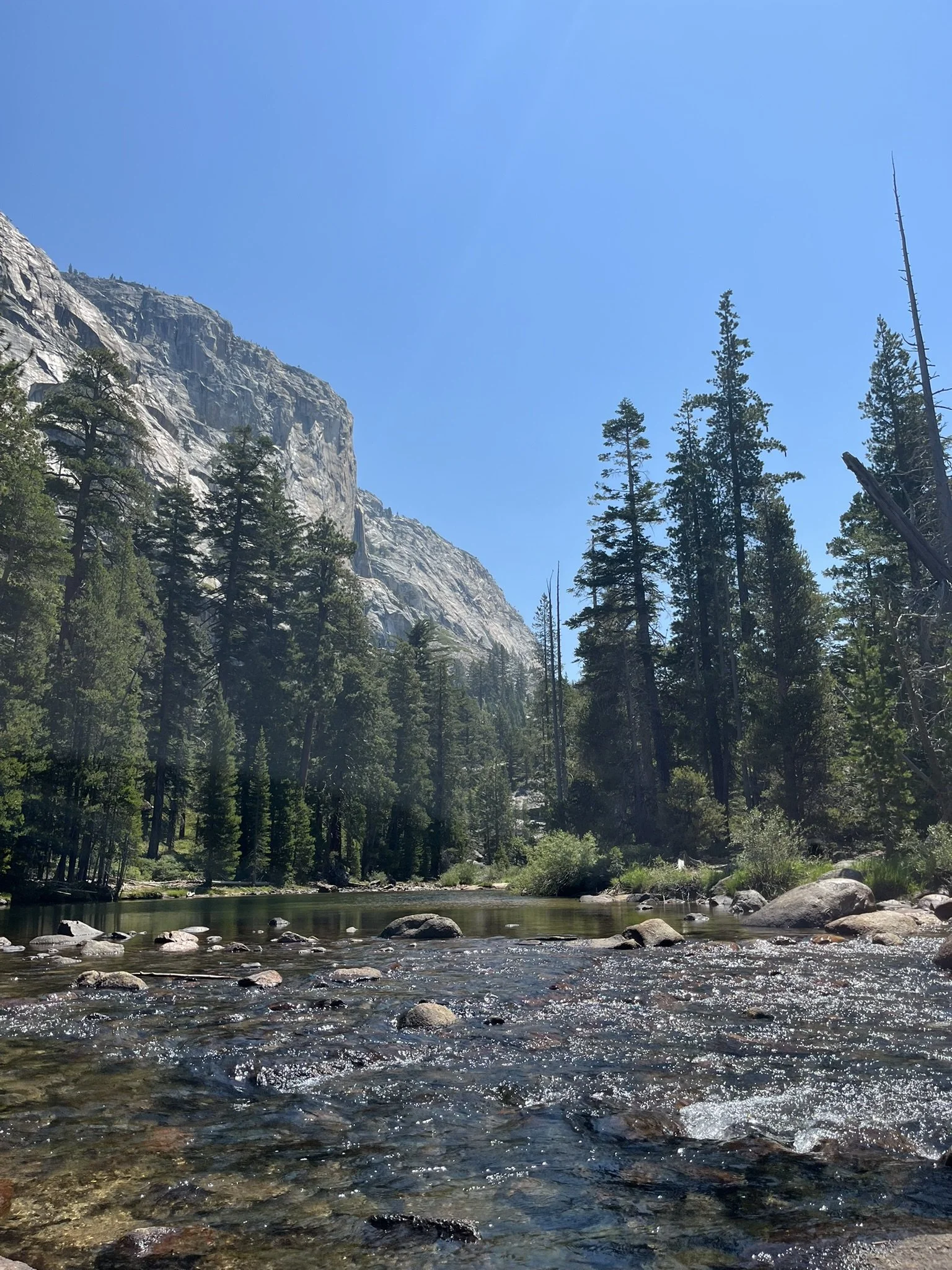
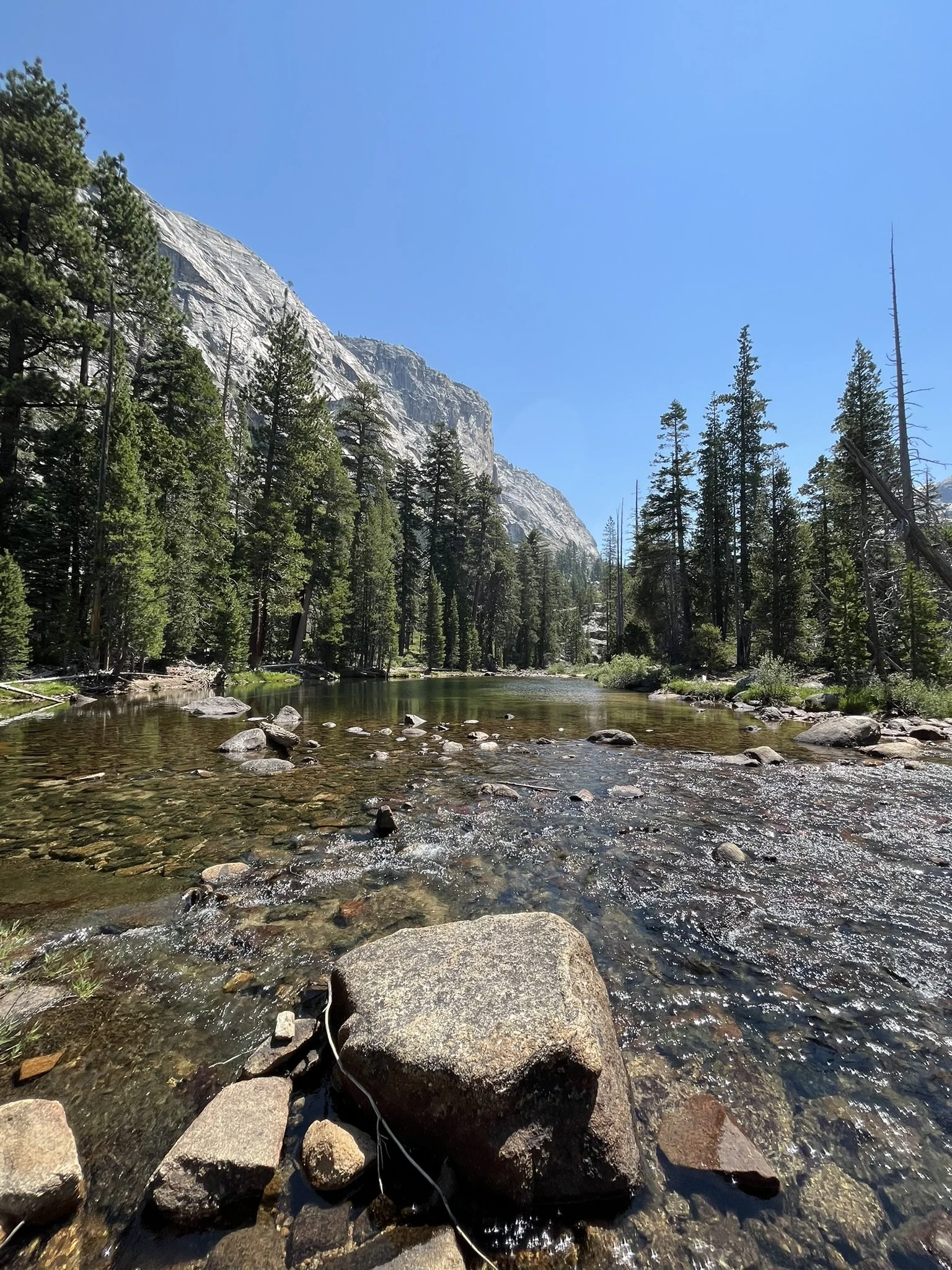
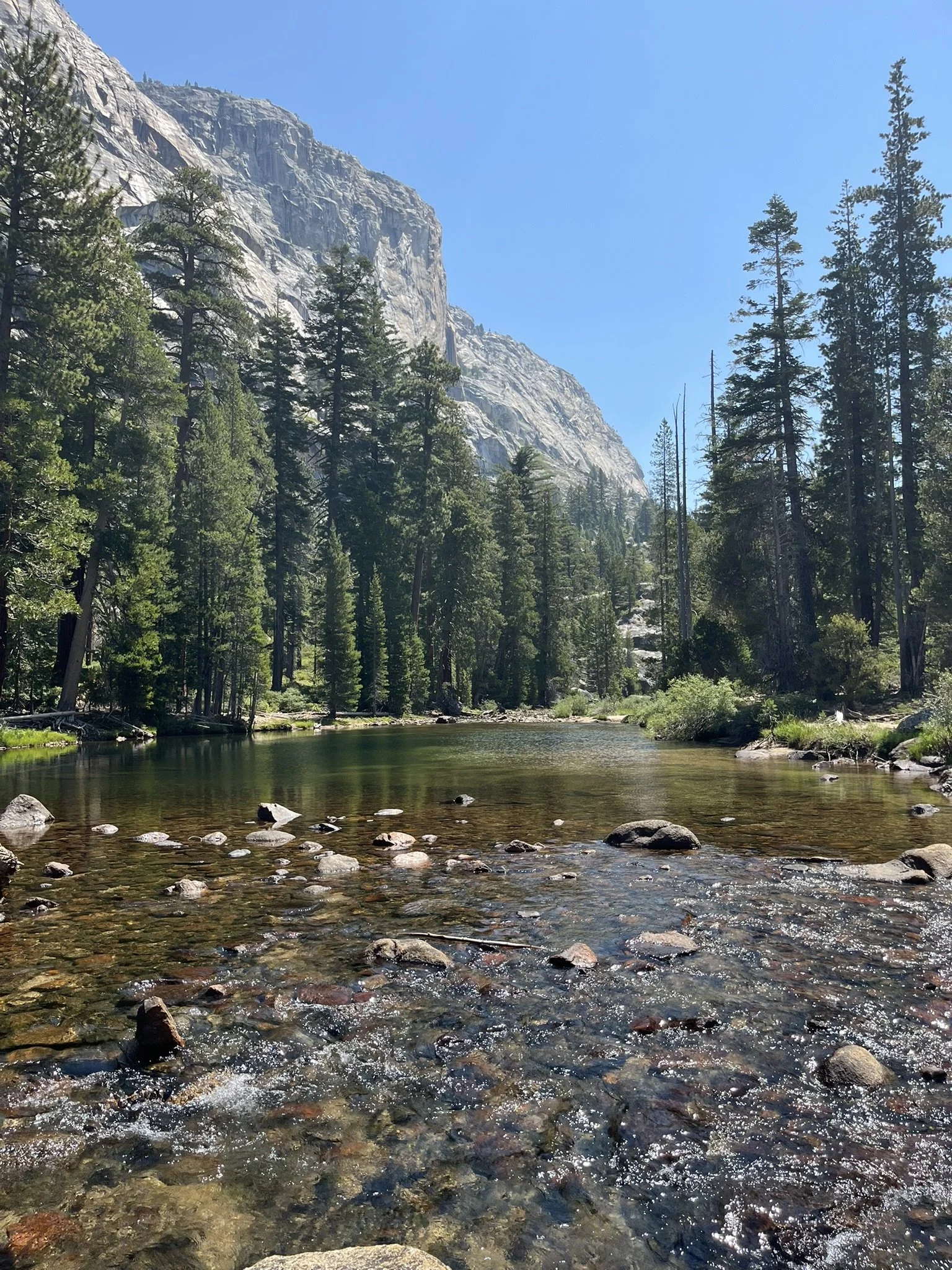
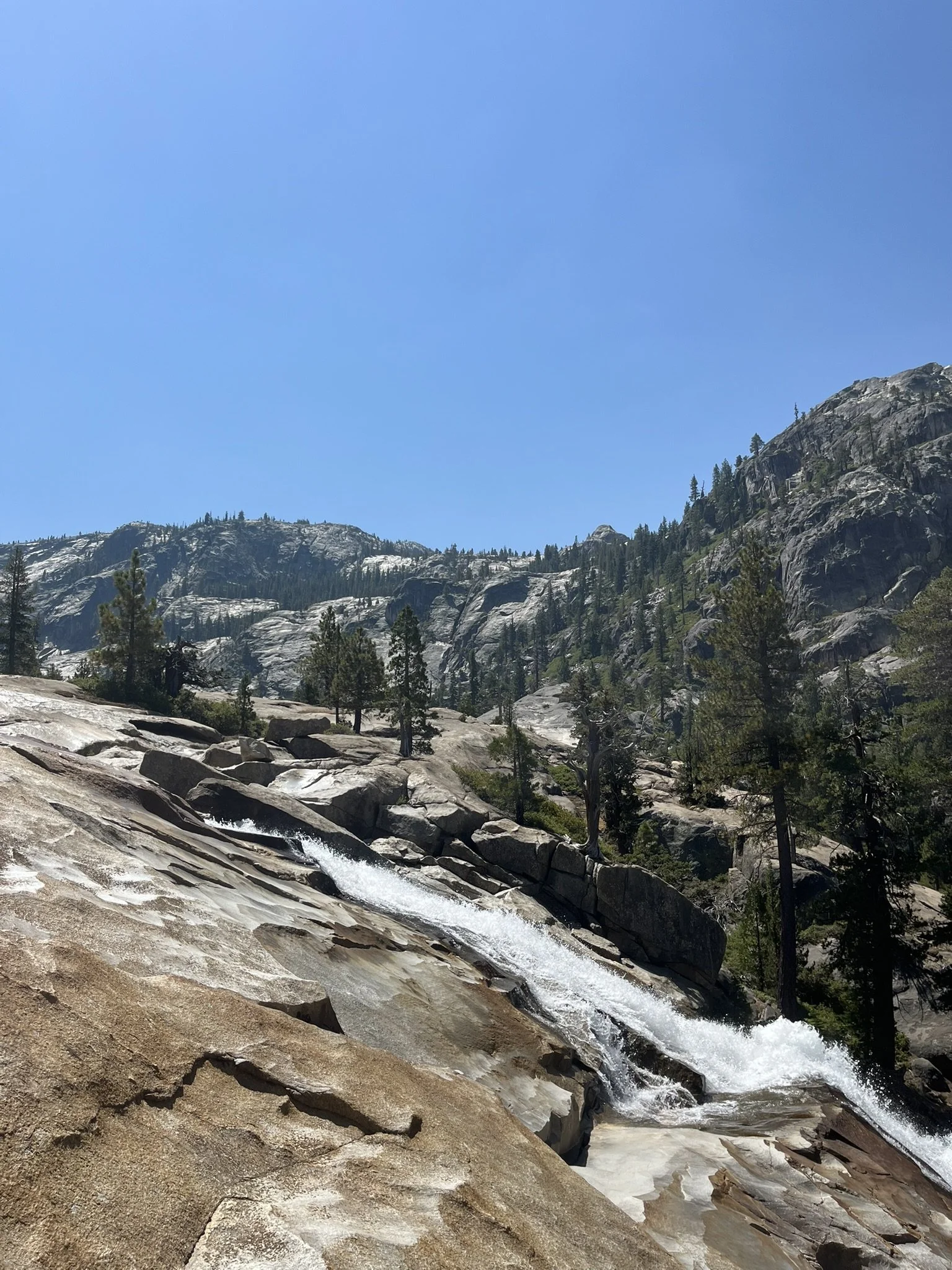
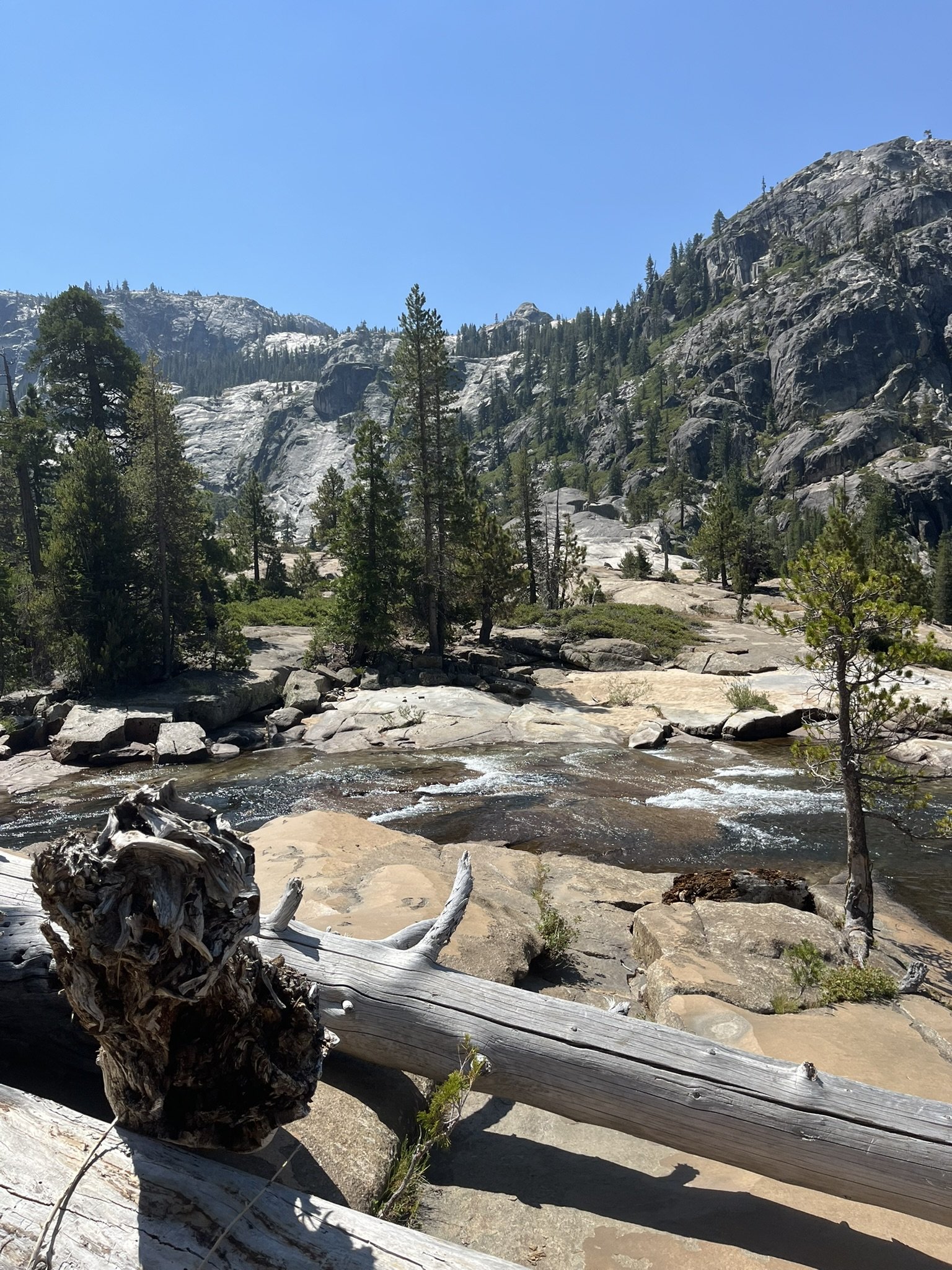
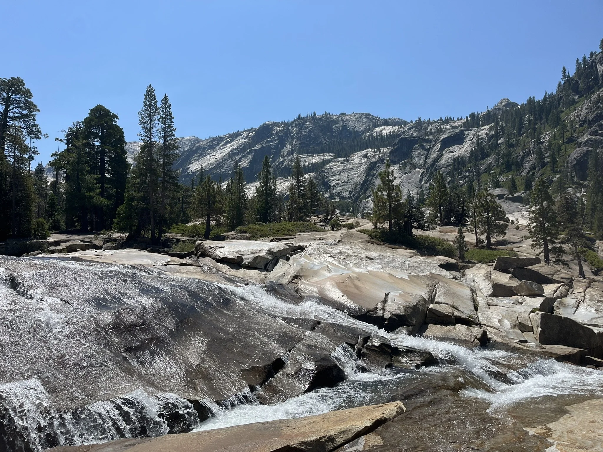
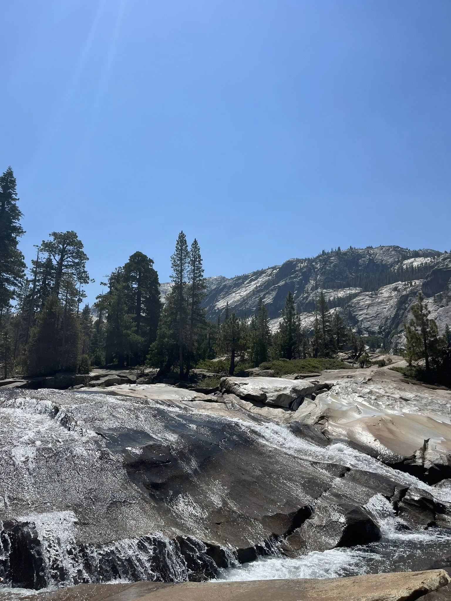
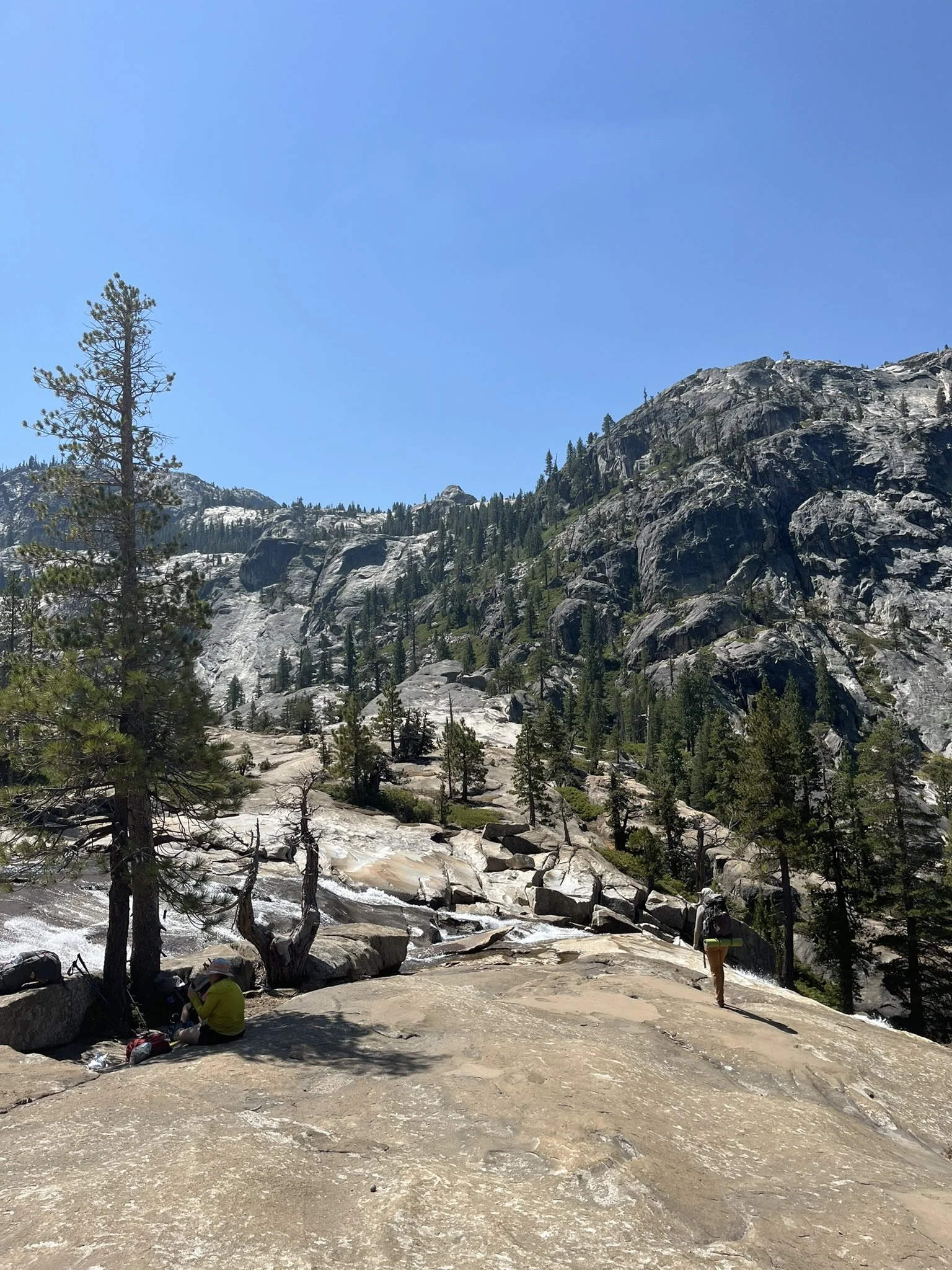
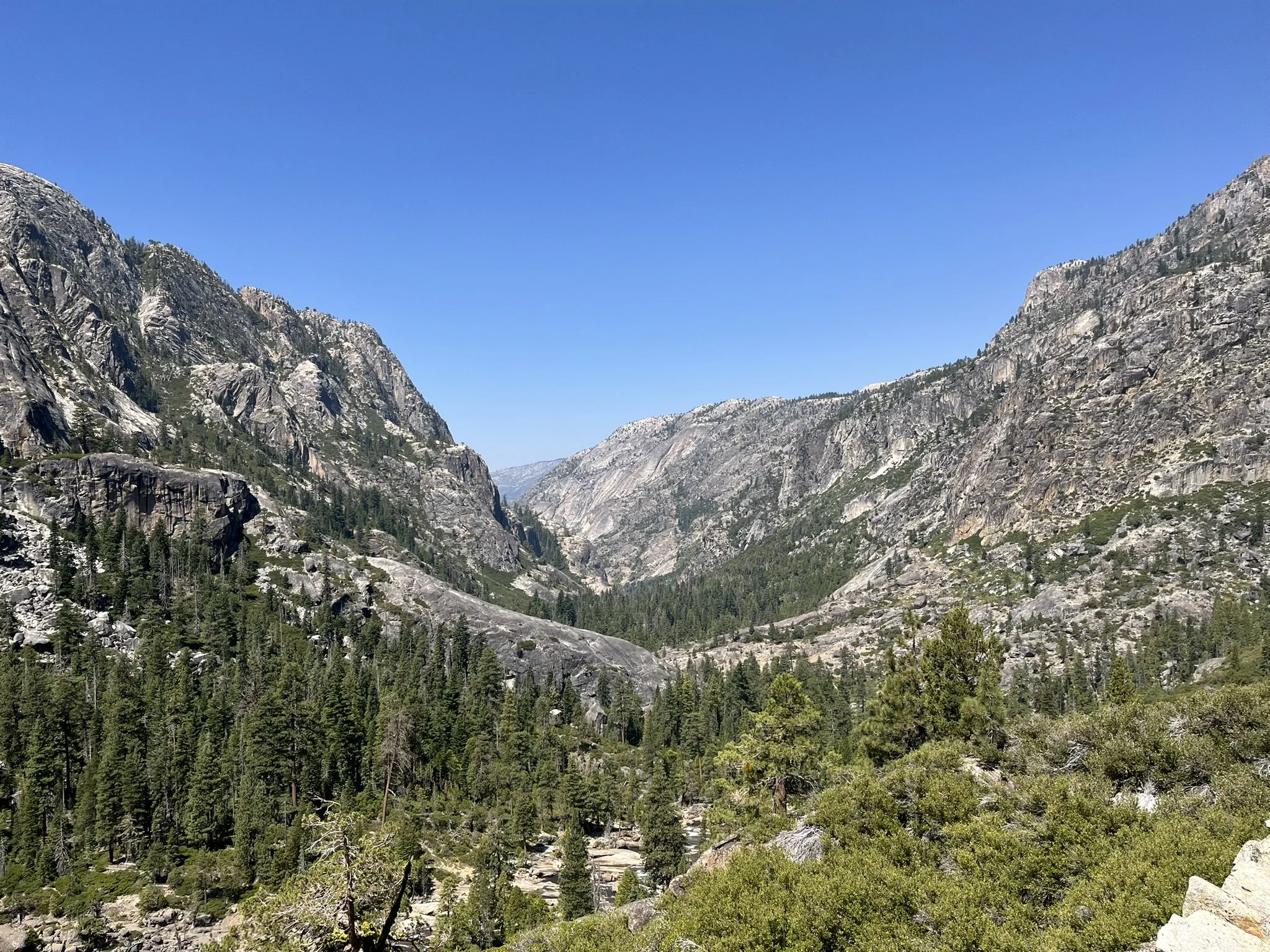
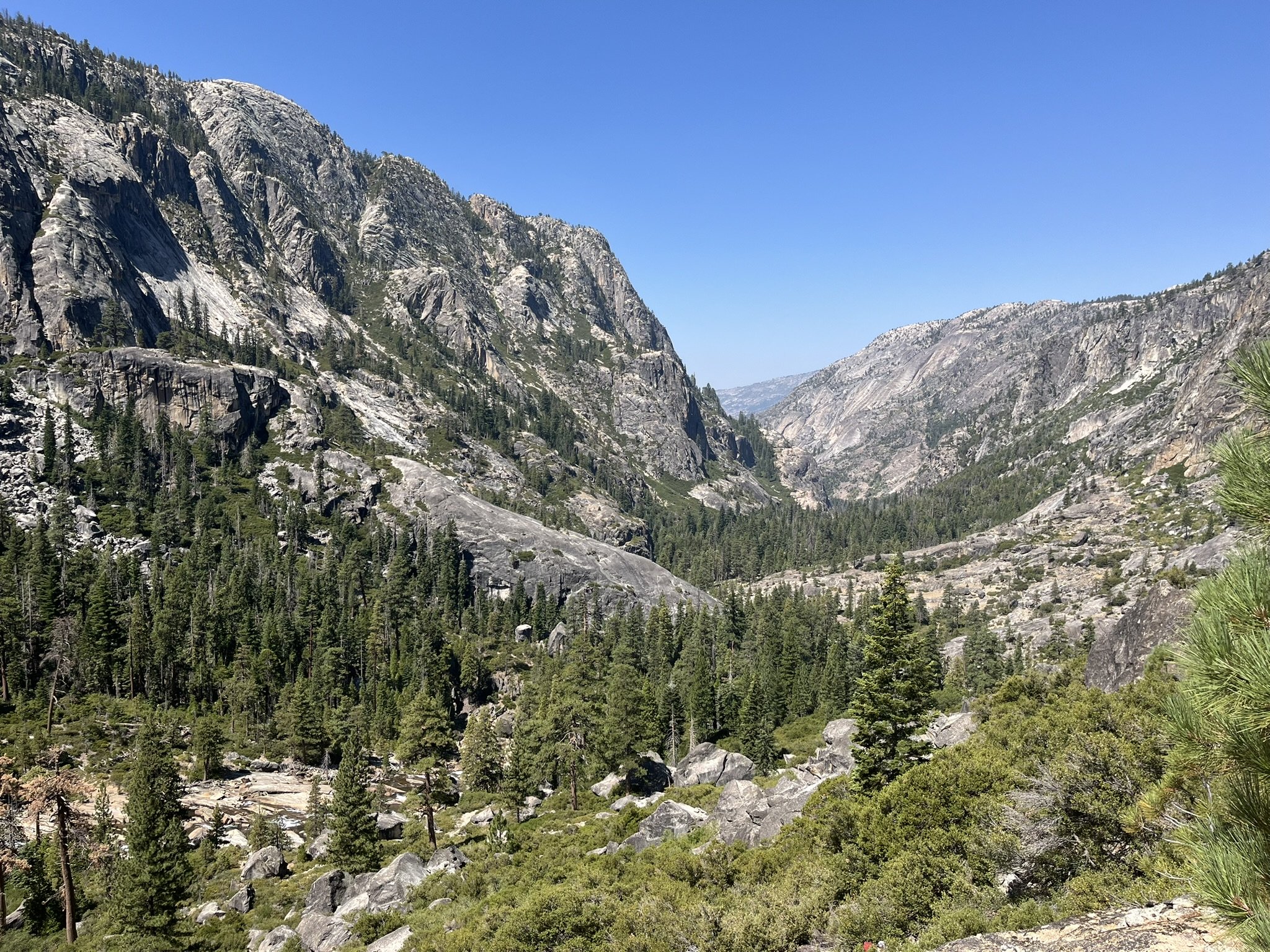
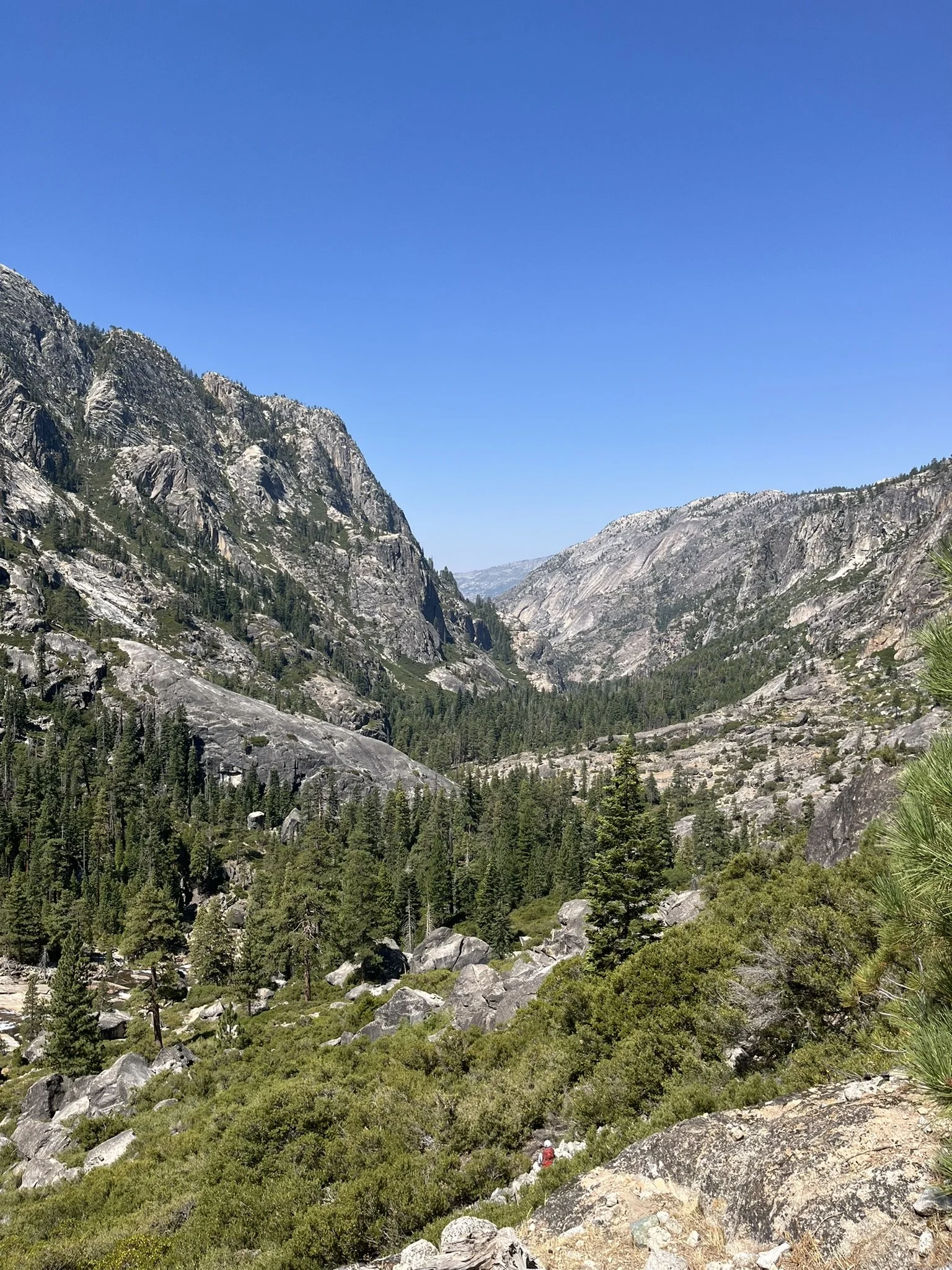
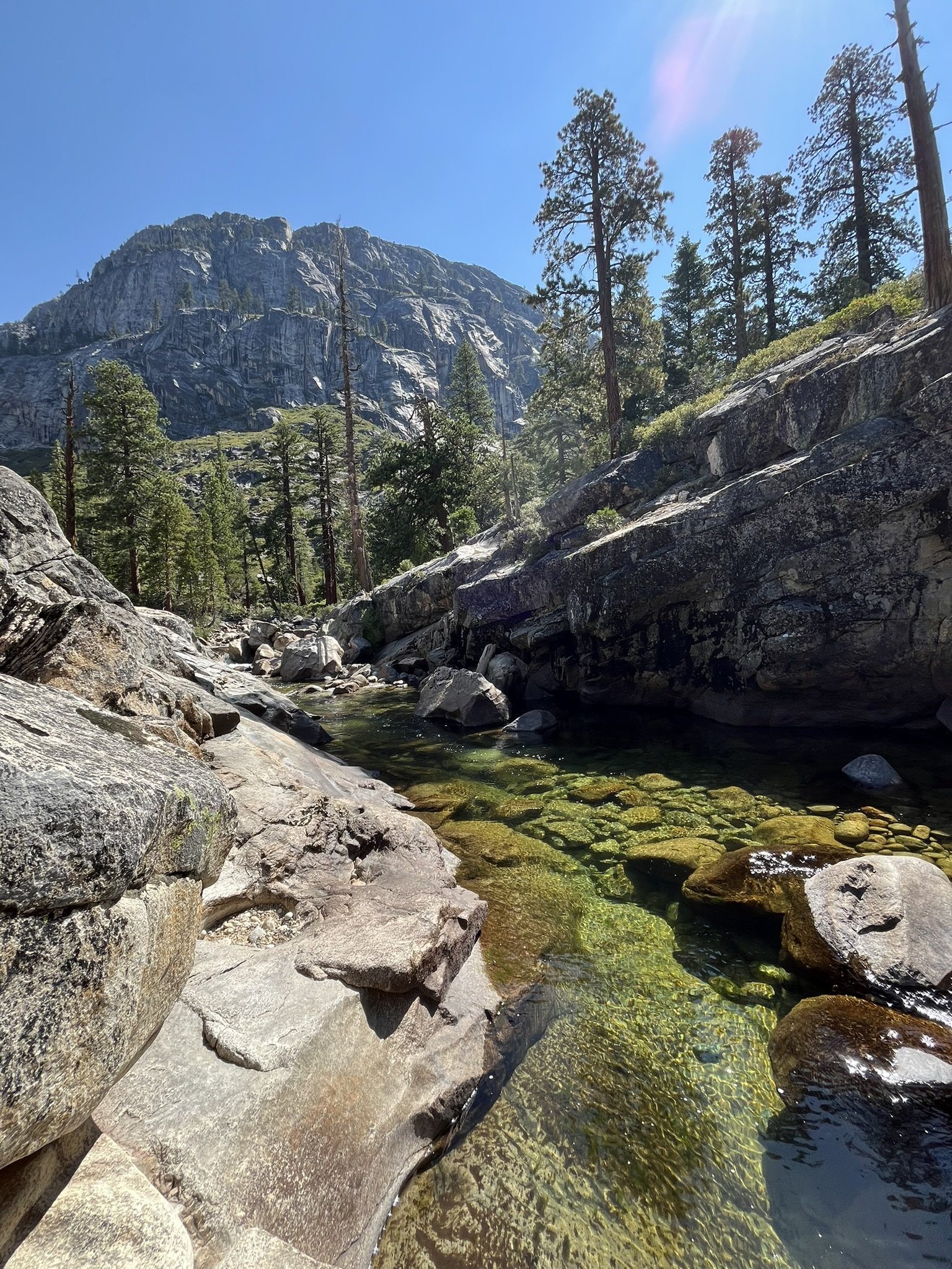
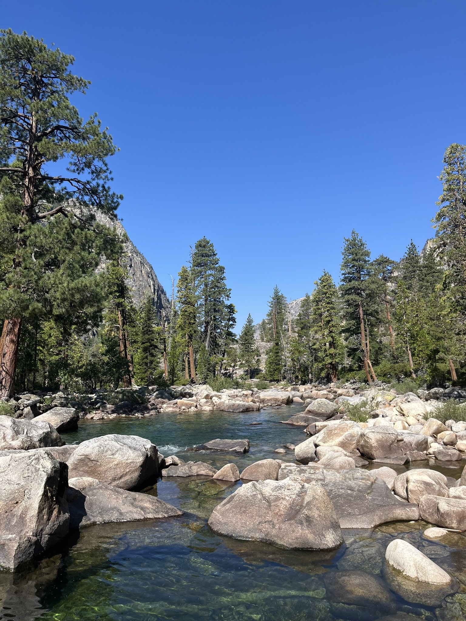
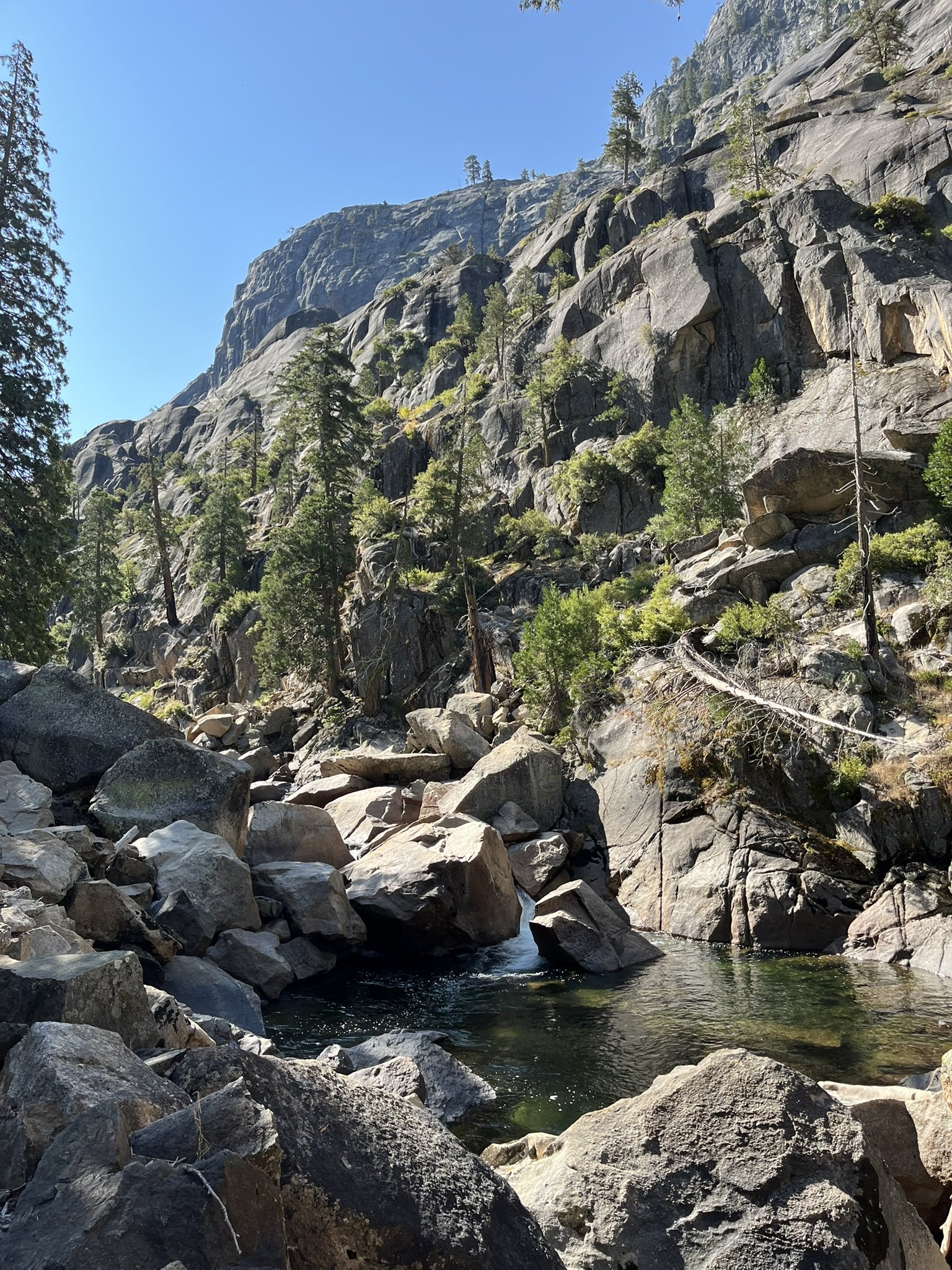
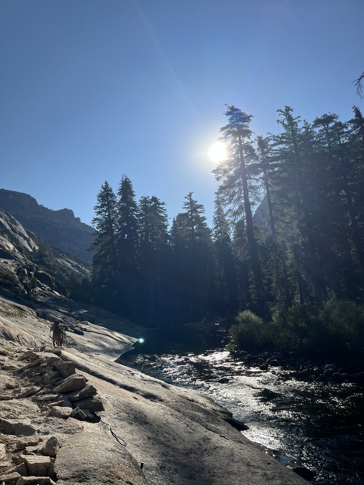
The Tuolumne was wild here: chutes of whitewater plunging between slabs of polished granite, waterfalls bursting into spray without warning. The trail rose and fell relentlessly, forcing me to earn every glimpse of the canyon’s beauty. The silver lining was that the river offered plenty of chances to cool off — whenever the heat became unbearable, I could stop for a refreshing dip.
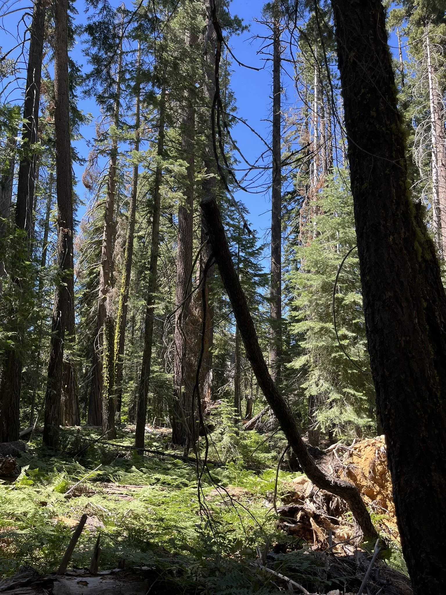
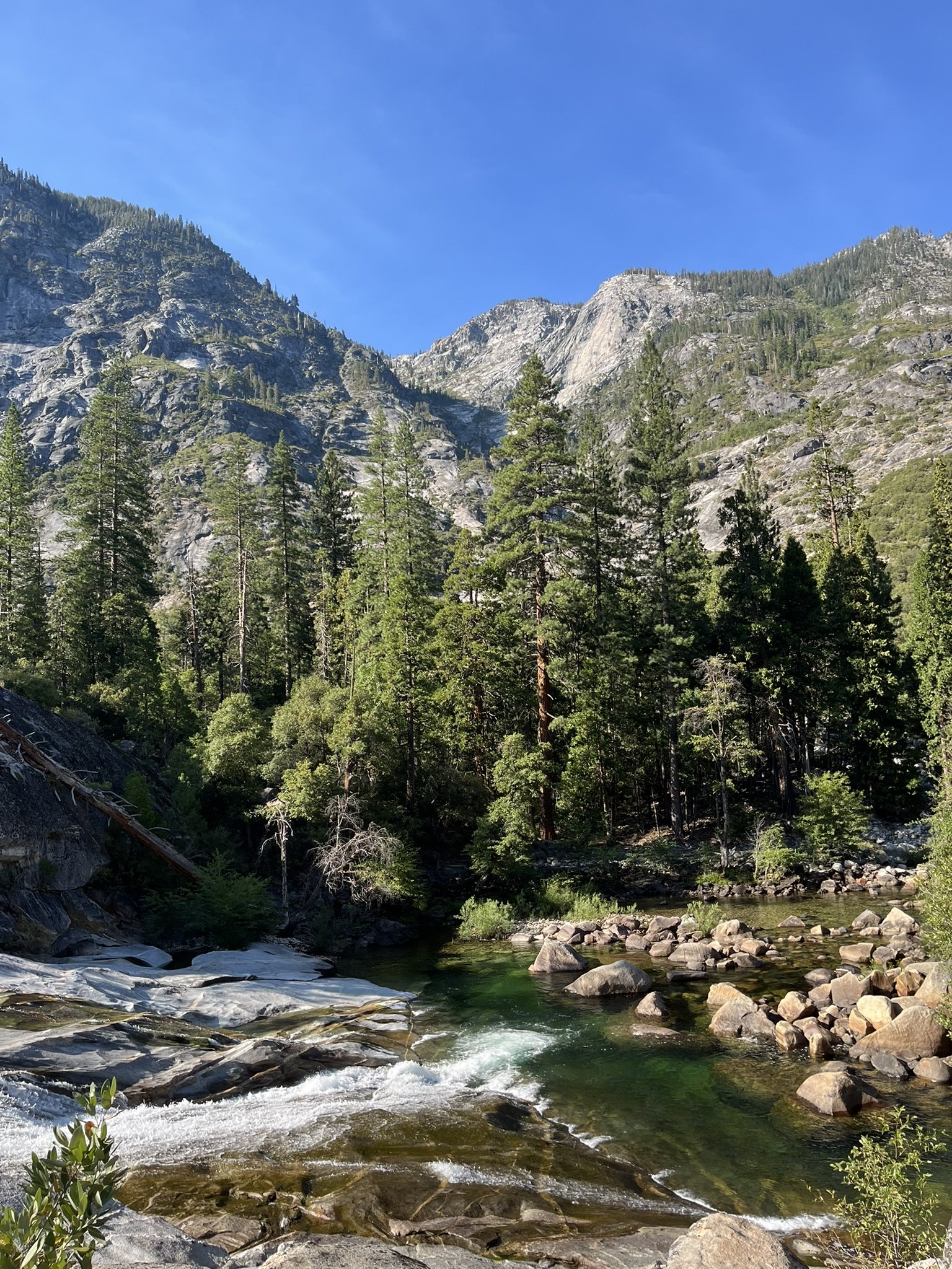
At times I walked across sun-baked stone, heat radiating in waves; then suddenly I’d step into the cool green of the forest, where filtered light danced across moss-covered trunks. Lunch by a calm stretch of river was a gift — the water icy and pure, the shade almost luxurious.
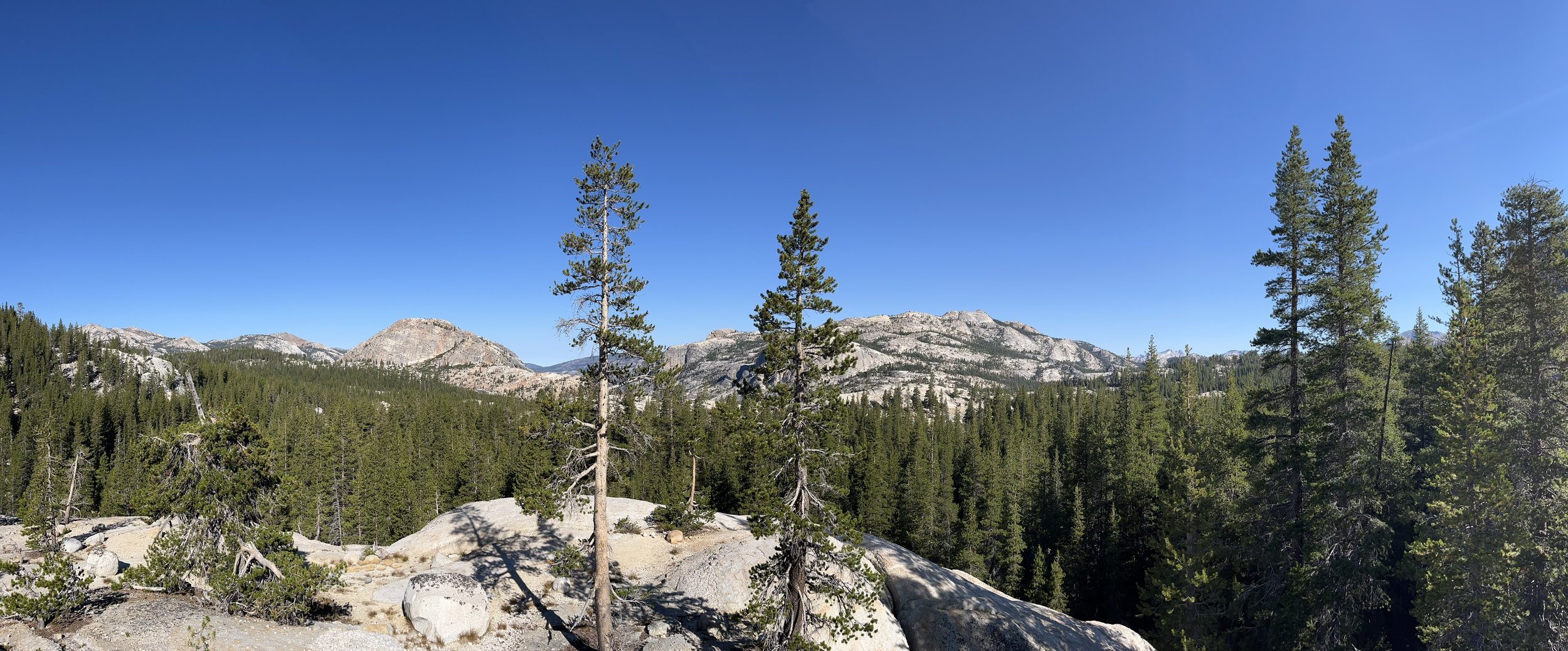
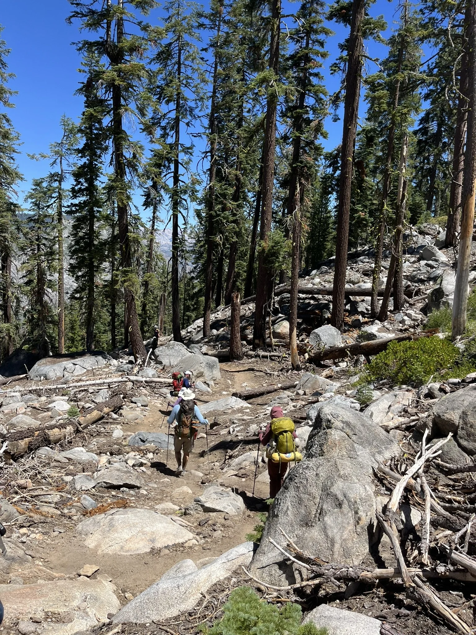
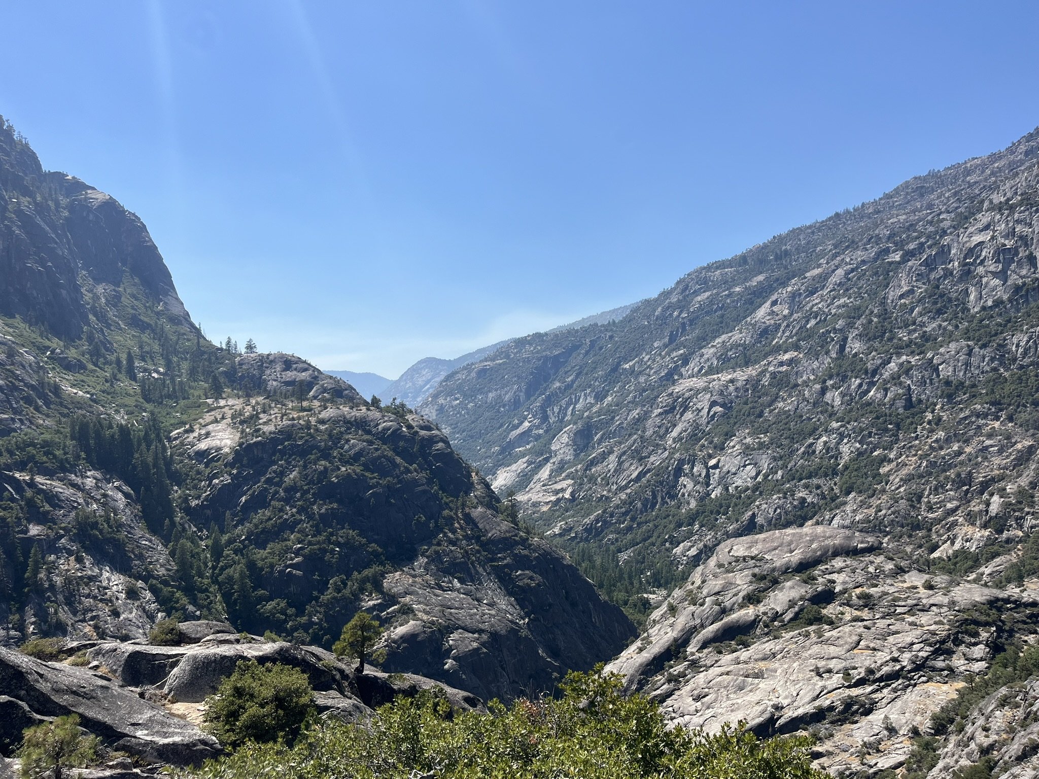
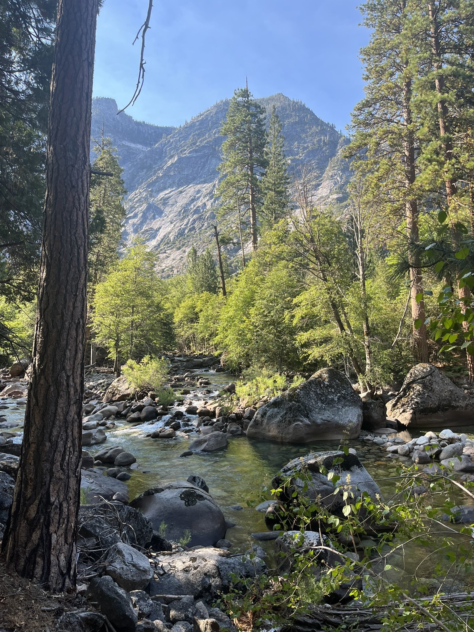
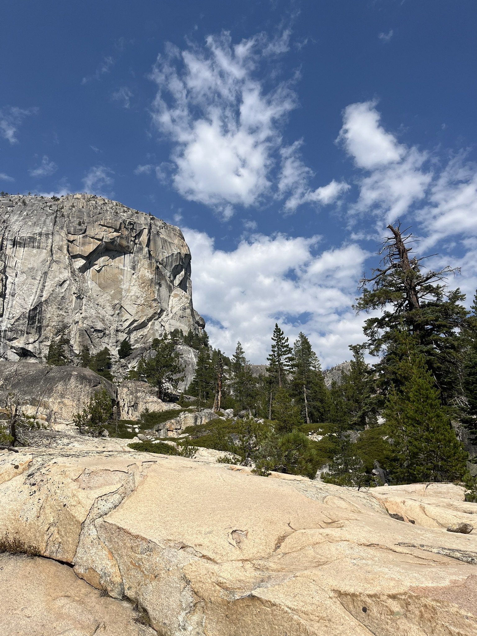
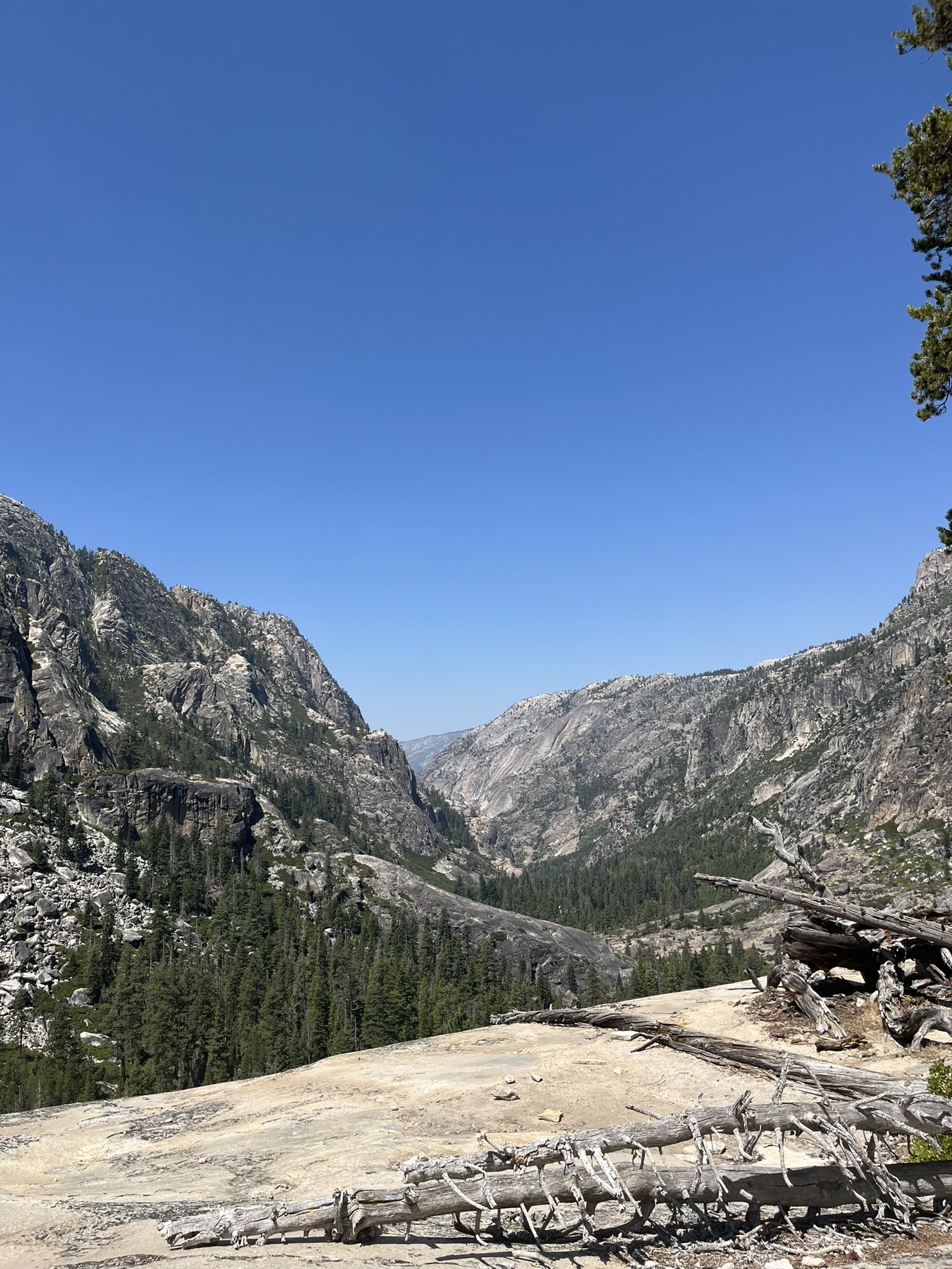
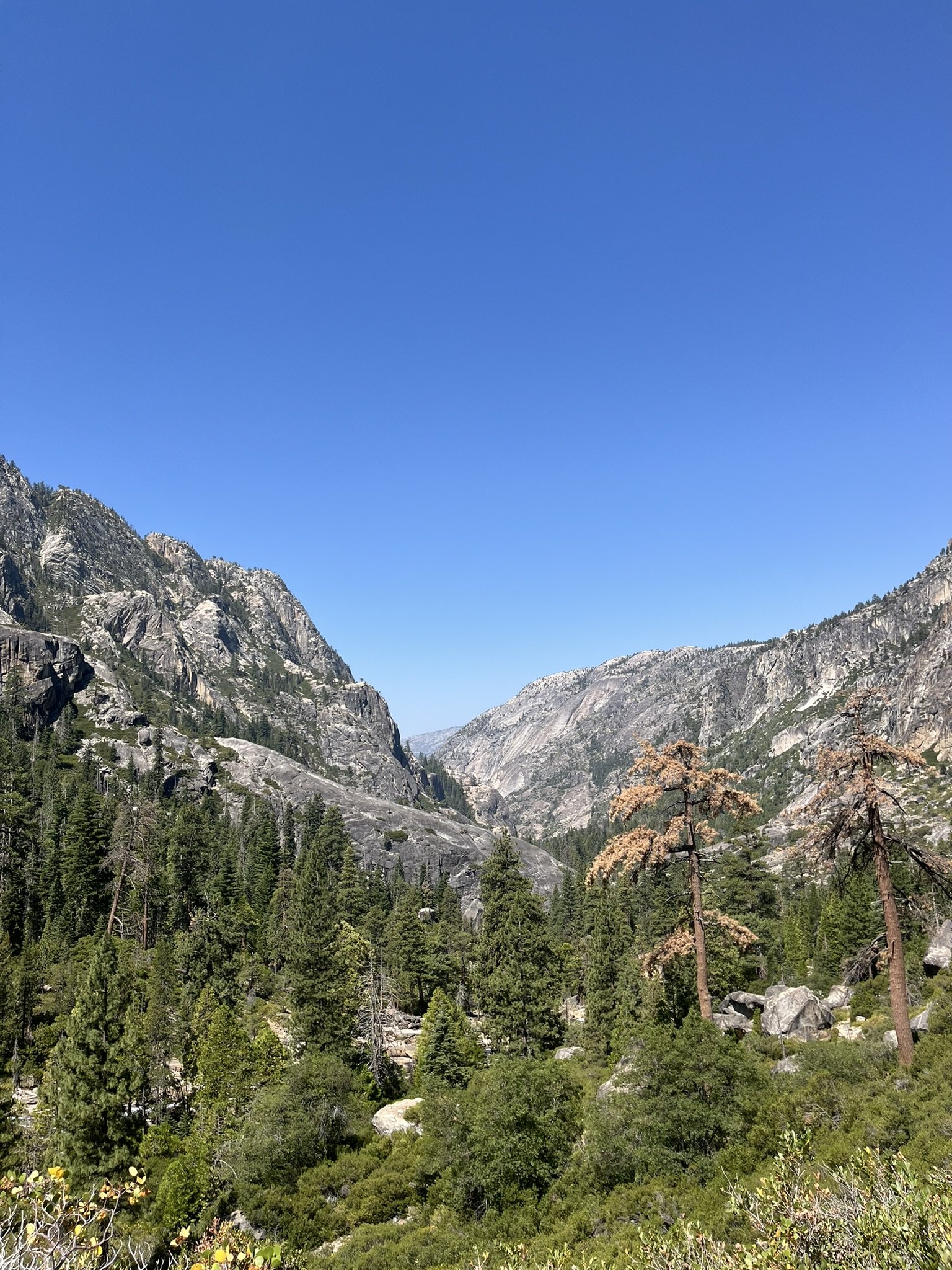
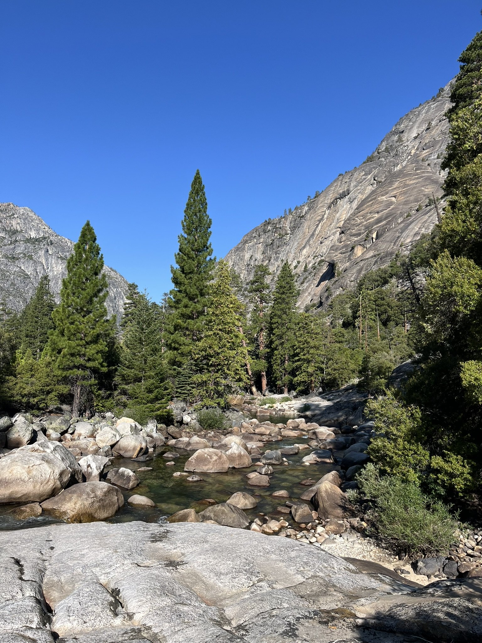
Compared to Day 1, Day 2 felt manageable… until the final stretch. The Muir Gorge climb is notorious among backpackers: more than 2,500 feet of gain in a single, unrelenting push. The trail rose steeply up the canyon wall in switchbacks that seemed endless. At the top, the reward was great: sweeping views back over the river and the entrance to the upper Tuolumne canyon.
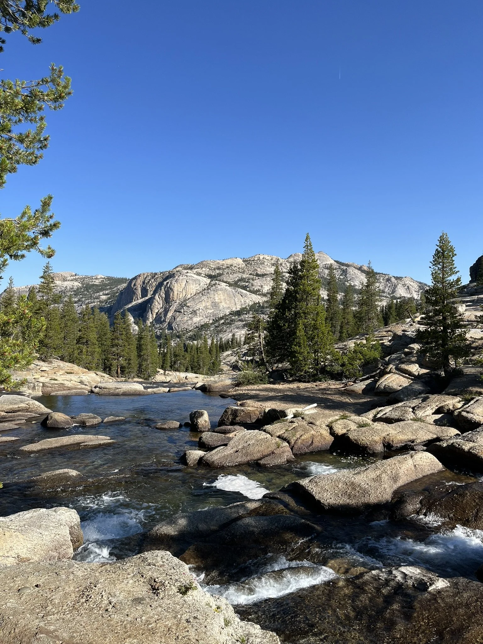
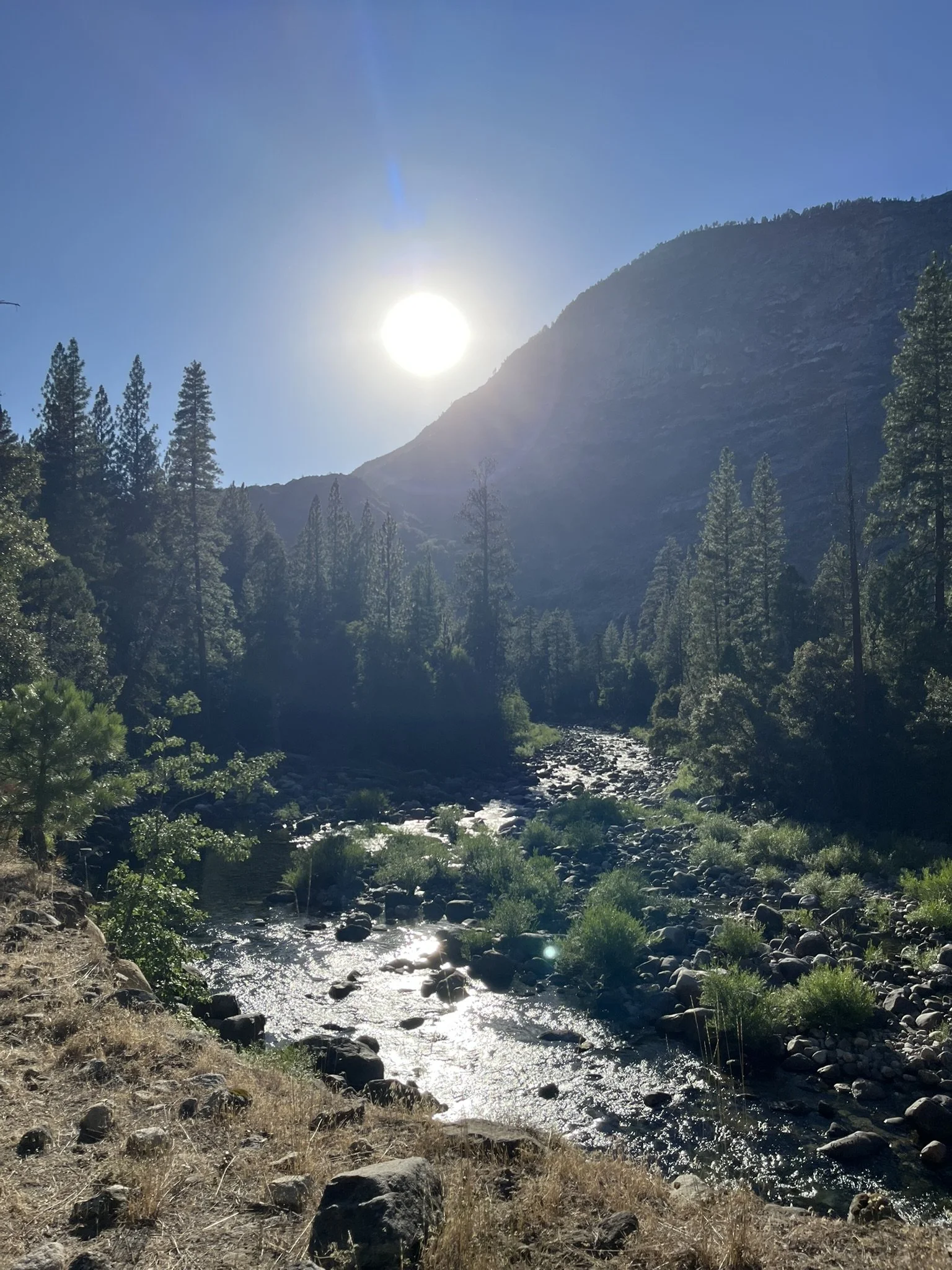
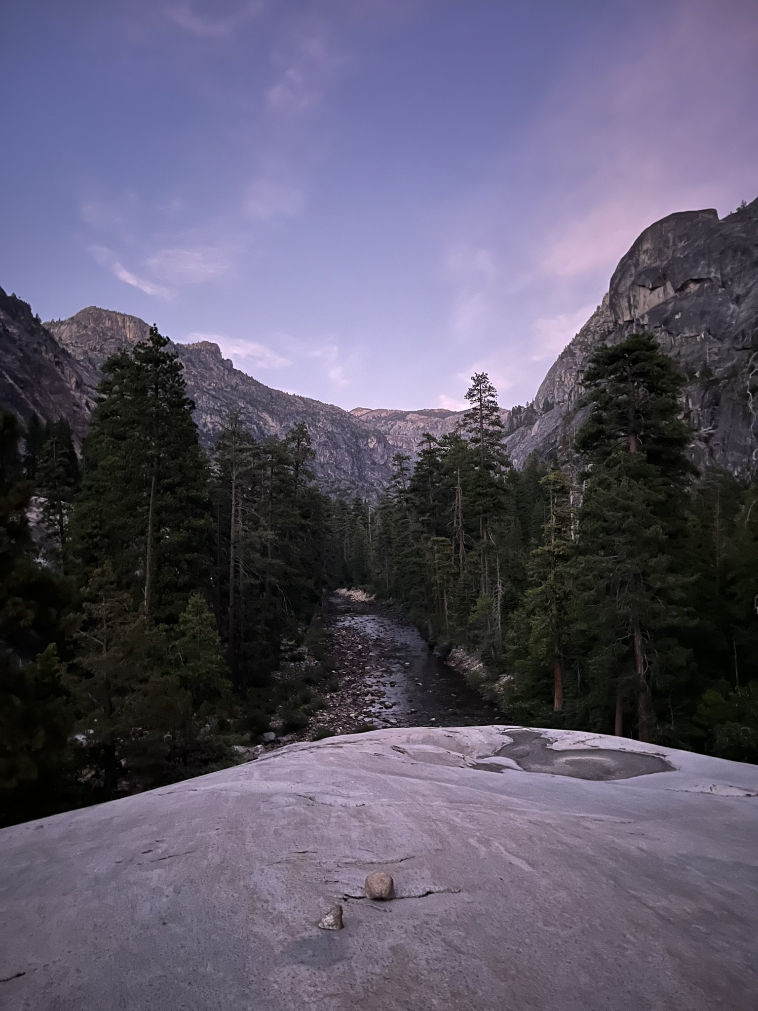
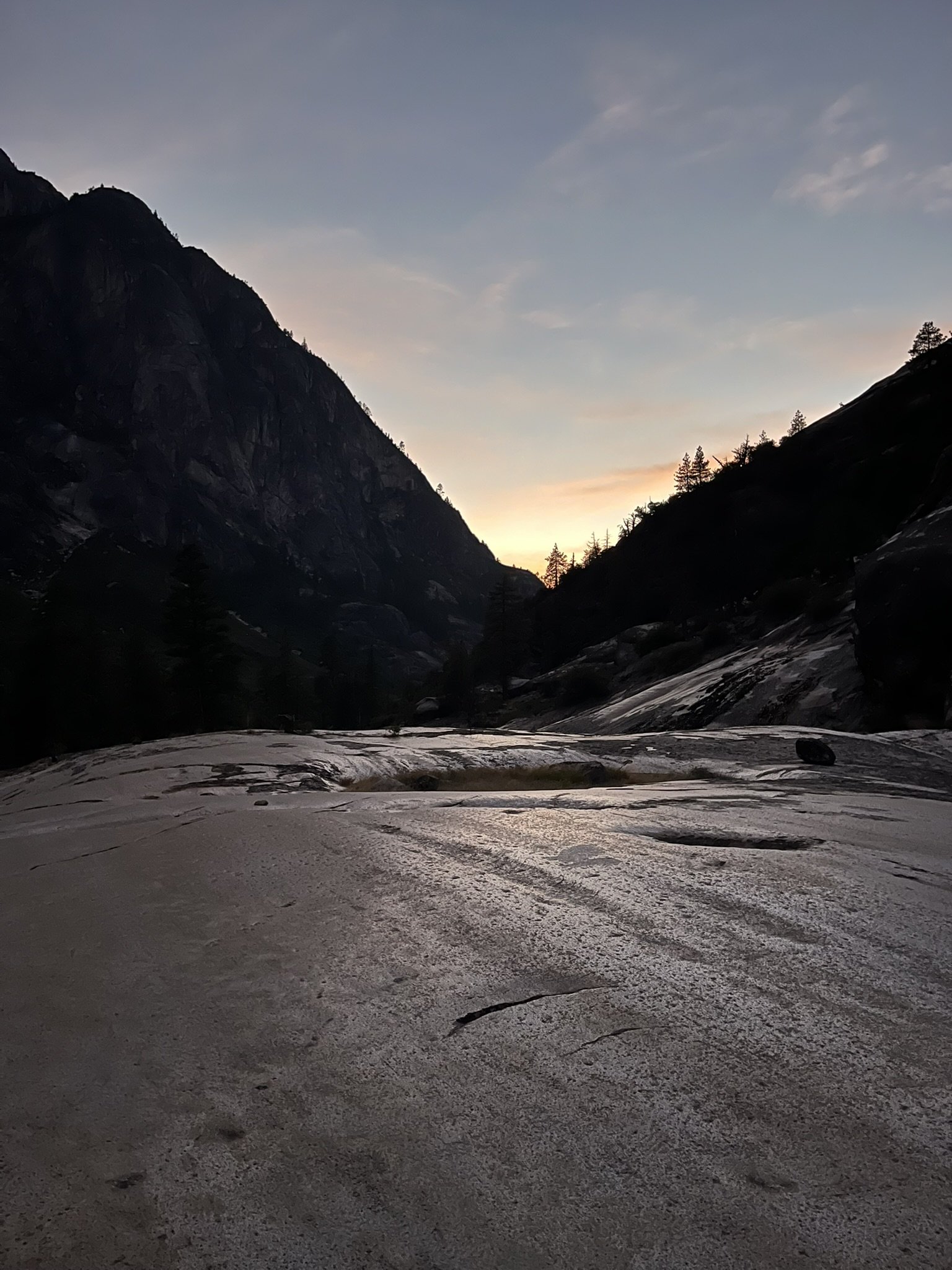
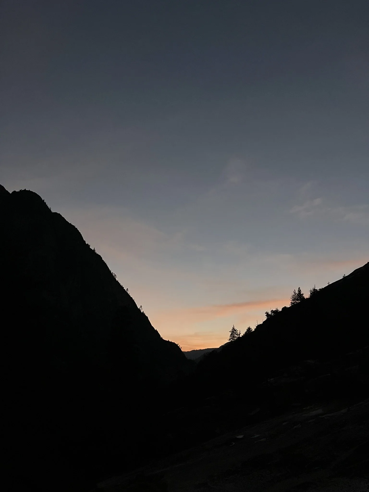
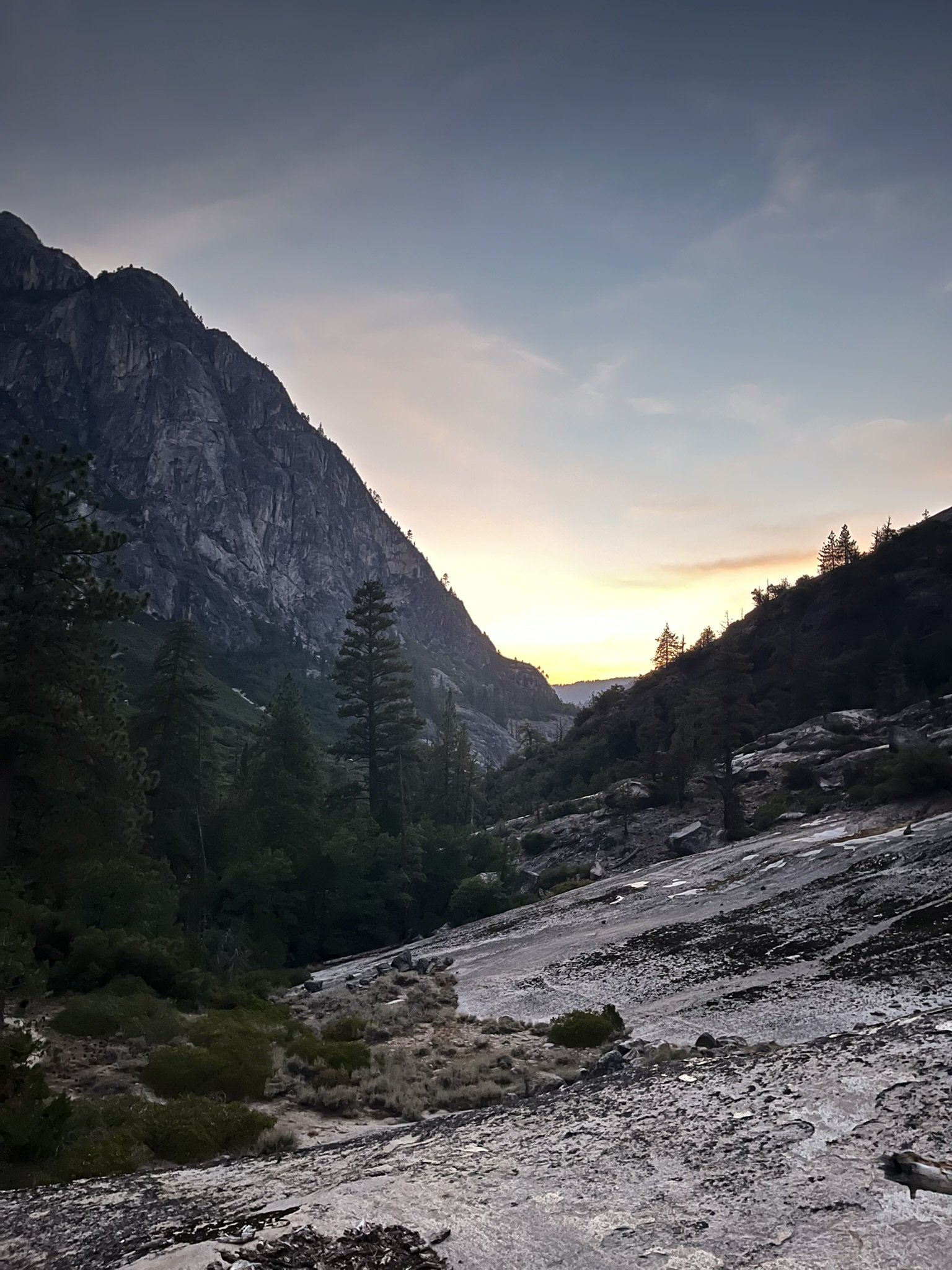
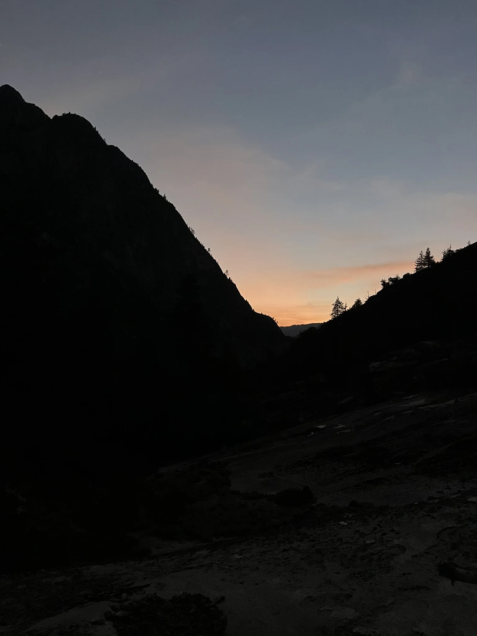
That evening, I camped at the Return Creek junction, where the smaller creek meets the Tuolumne. The sun was still warm enough for a last bath in the river, and the day closed with a spectacular Yosemite sunset glowing against the granite walls.


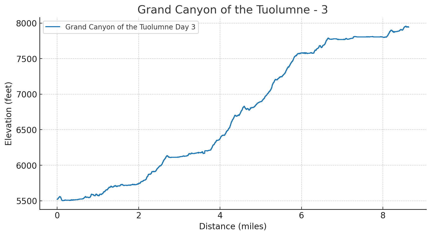
Day 3 – The Hard Earned Views
Distance: 8.6 miles
Elevation Gain: 3,383 ft | Loss: 961 ft
Start Elevation: 5,522 ft | End Elevation: 7,943 ft
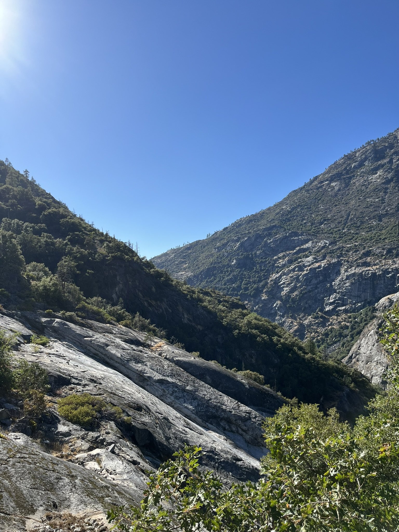
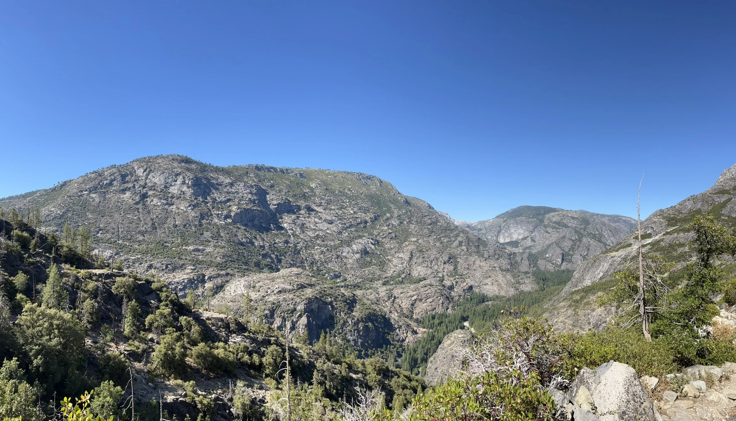
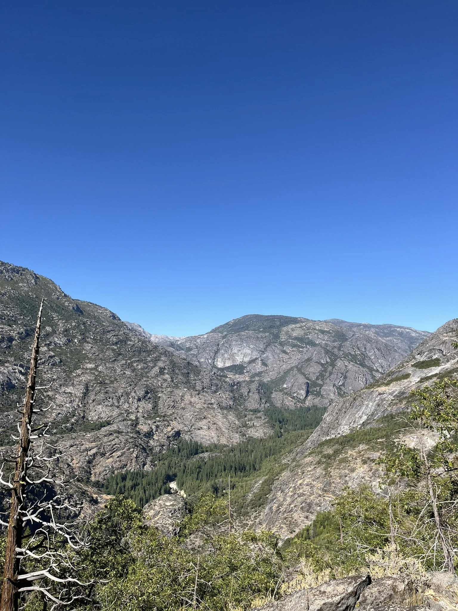
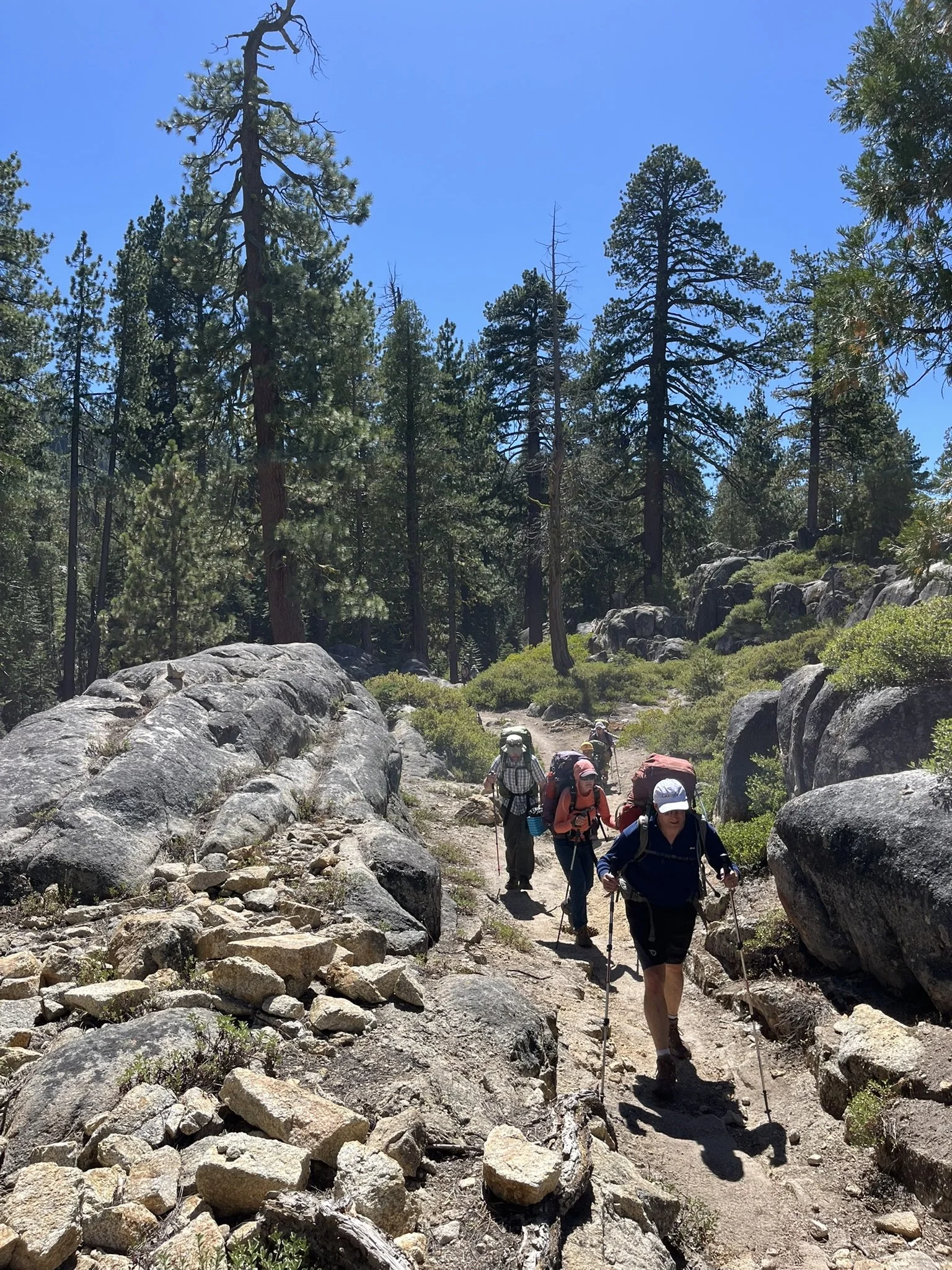
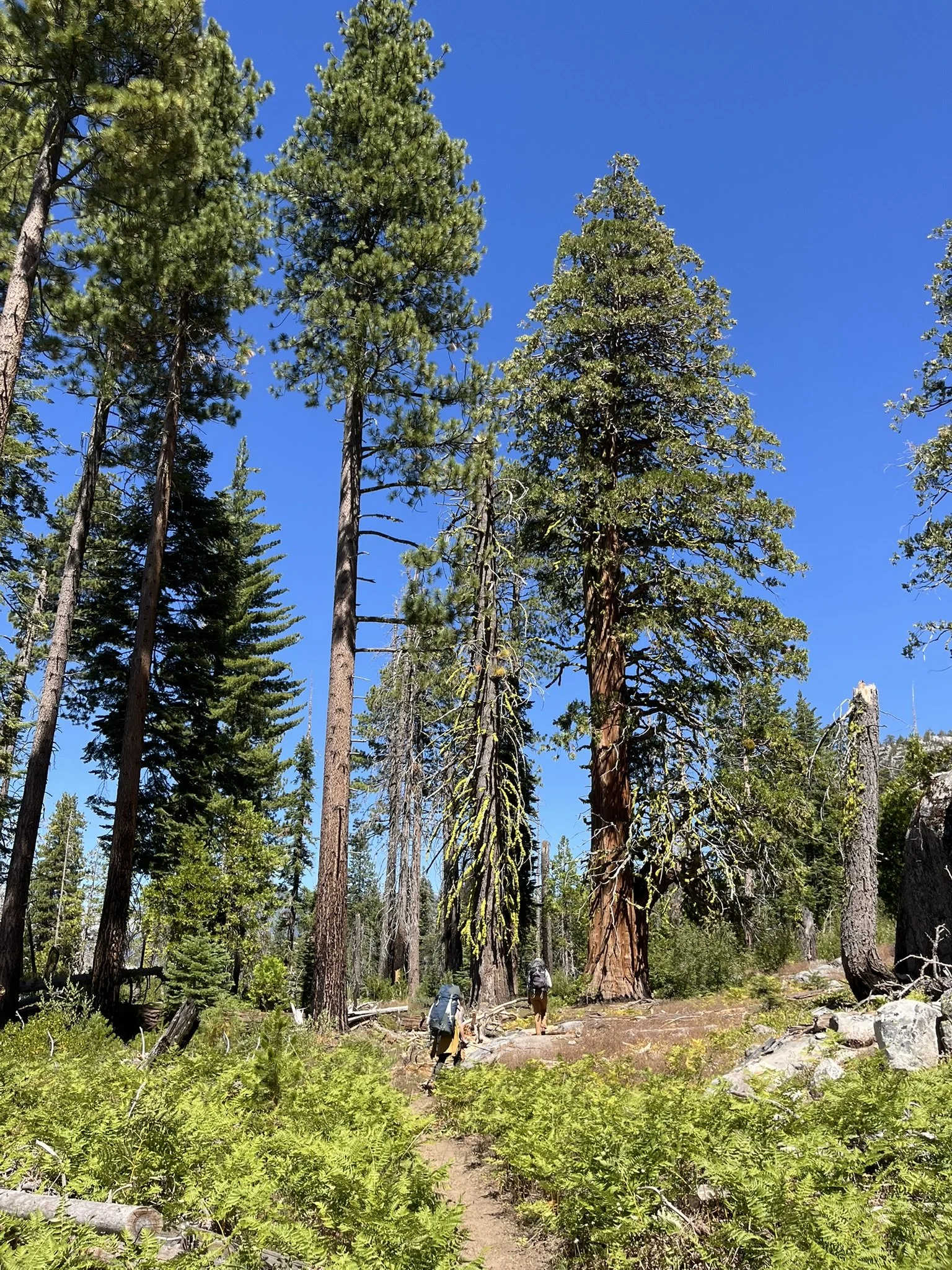
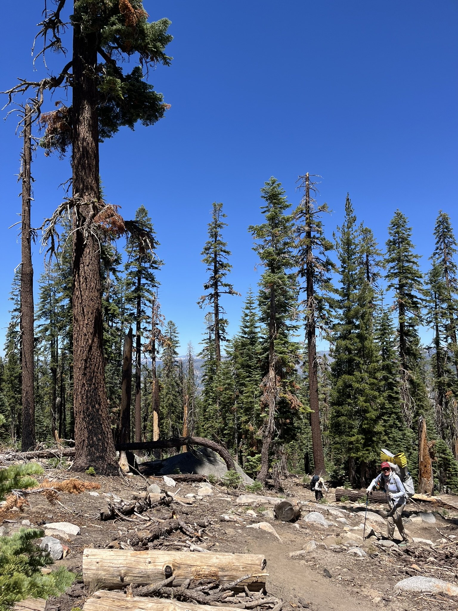
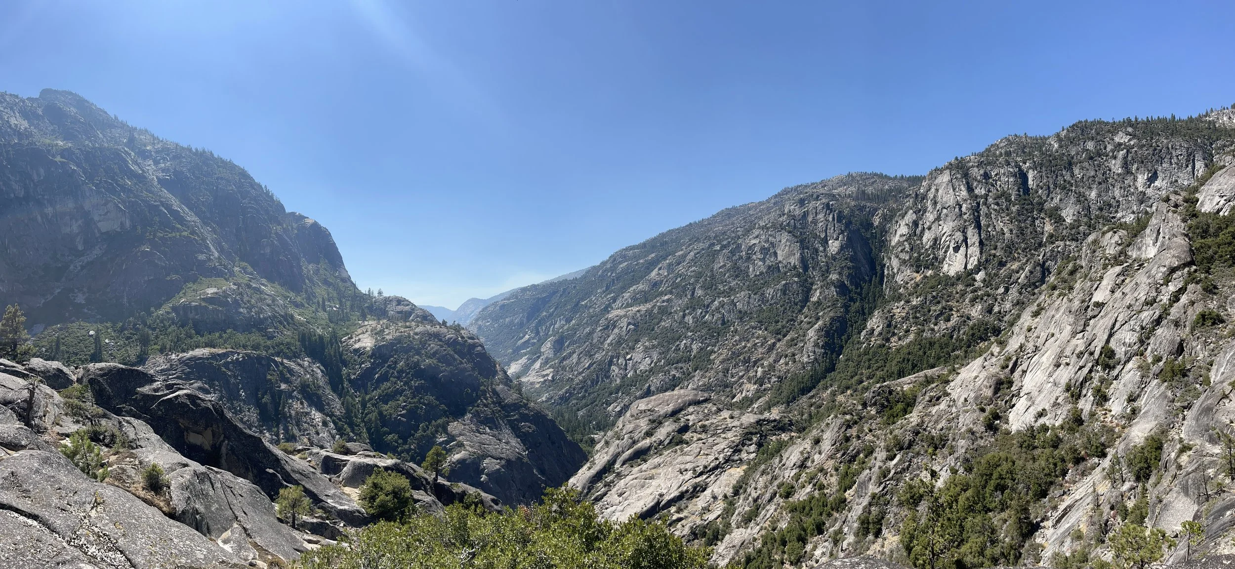
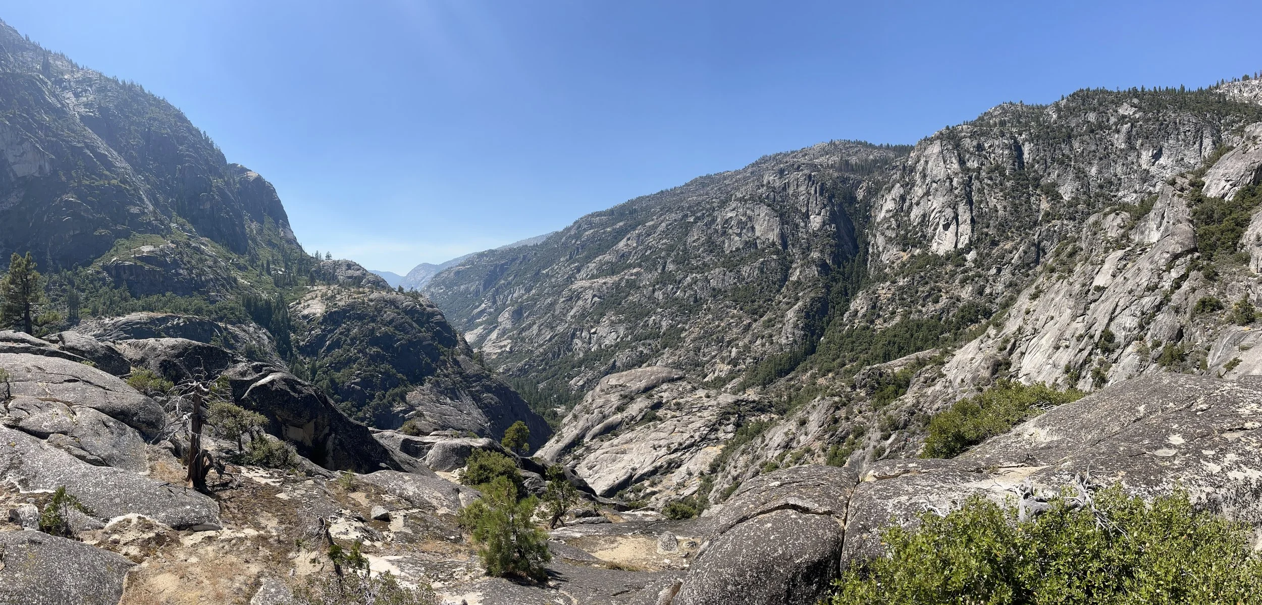
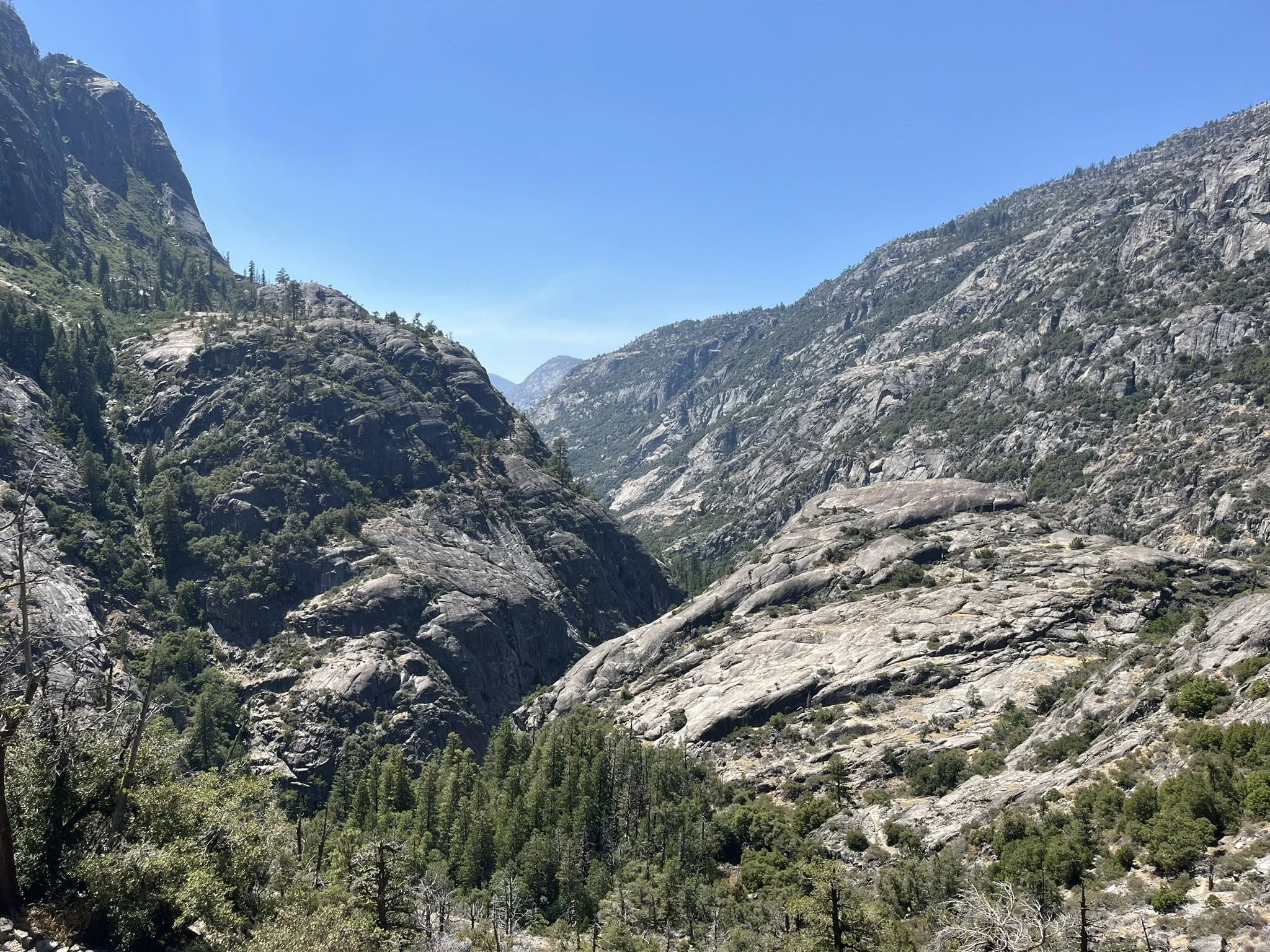
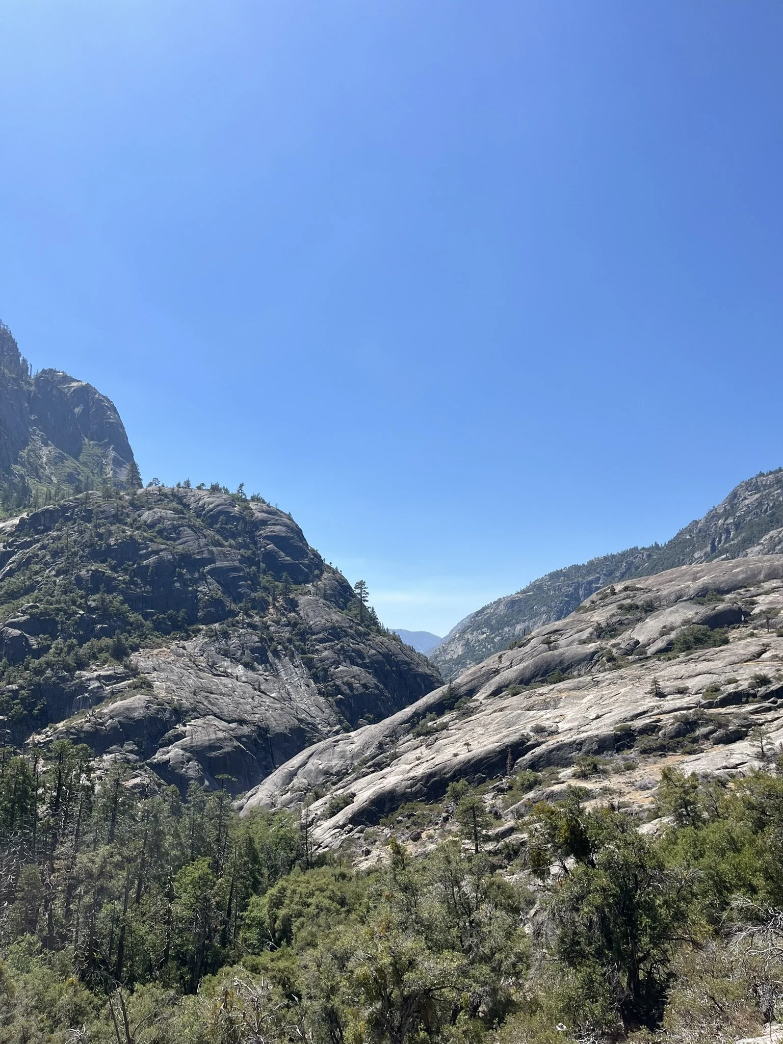
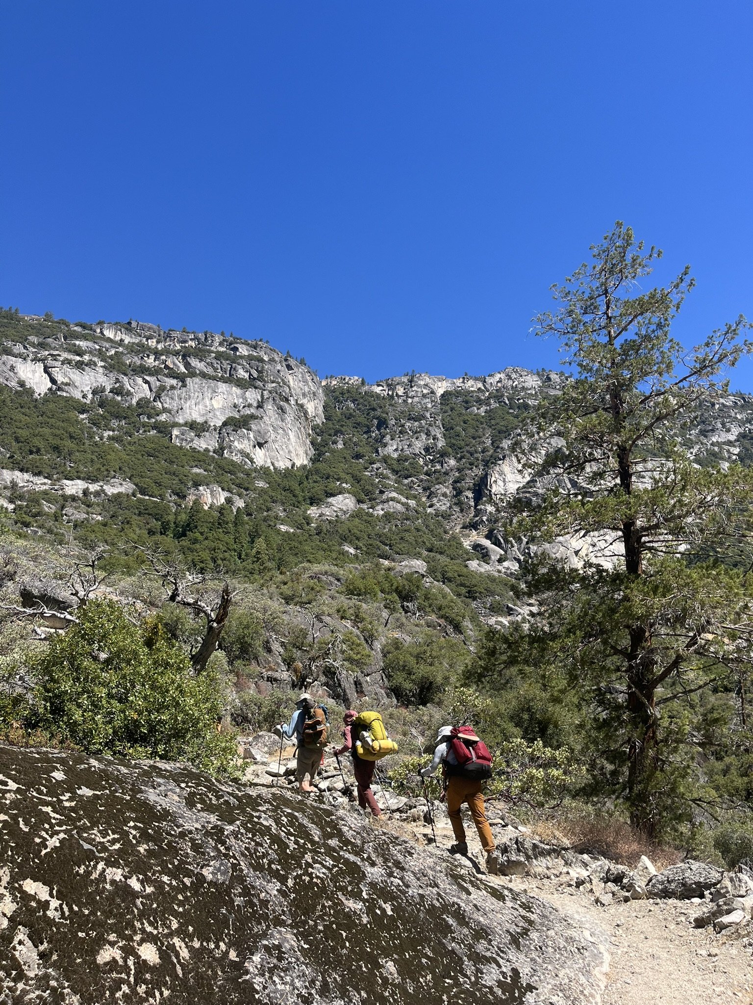
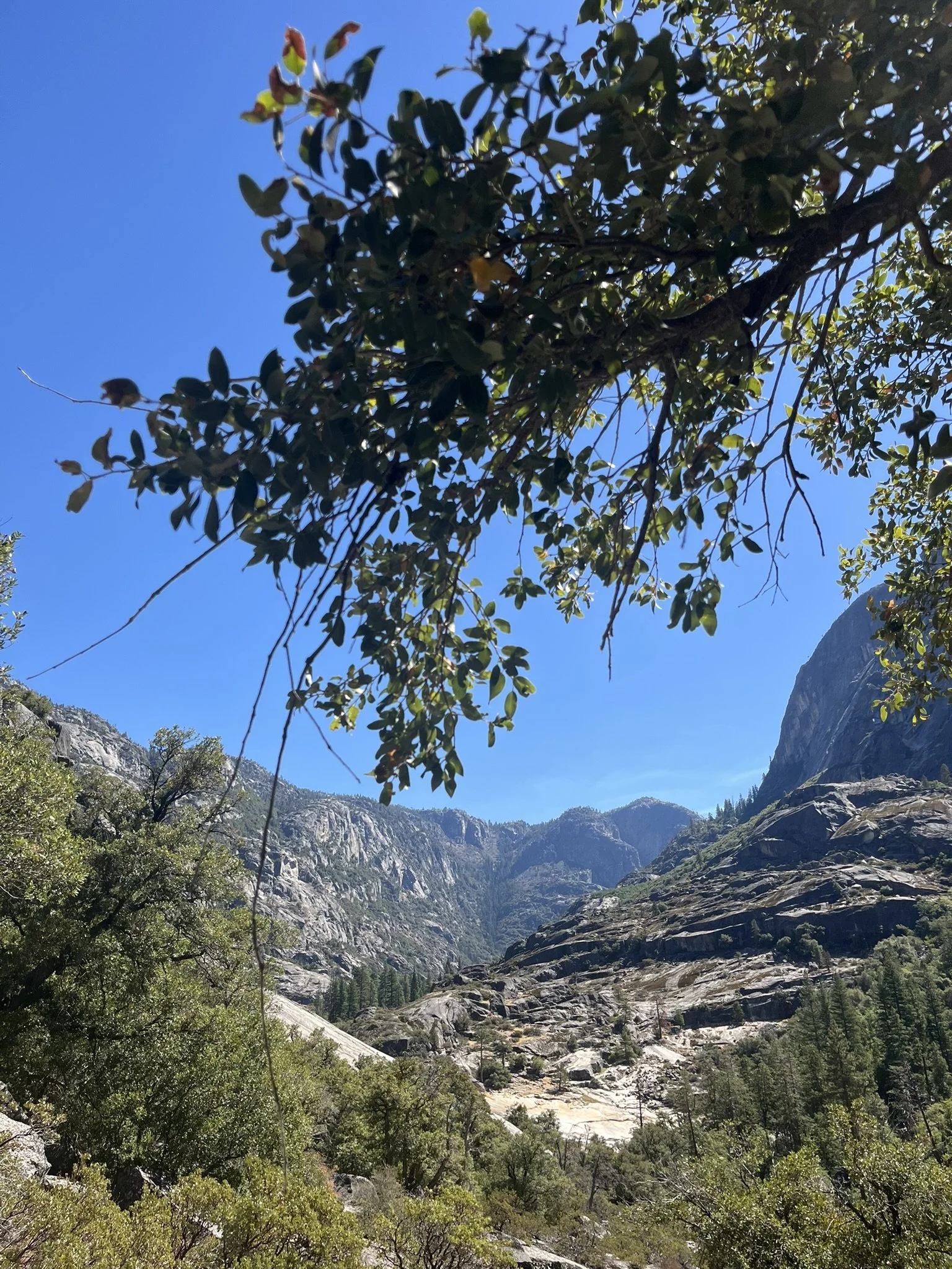
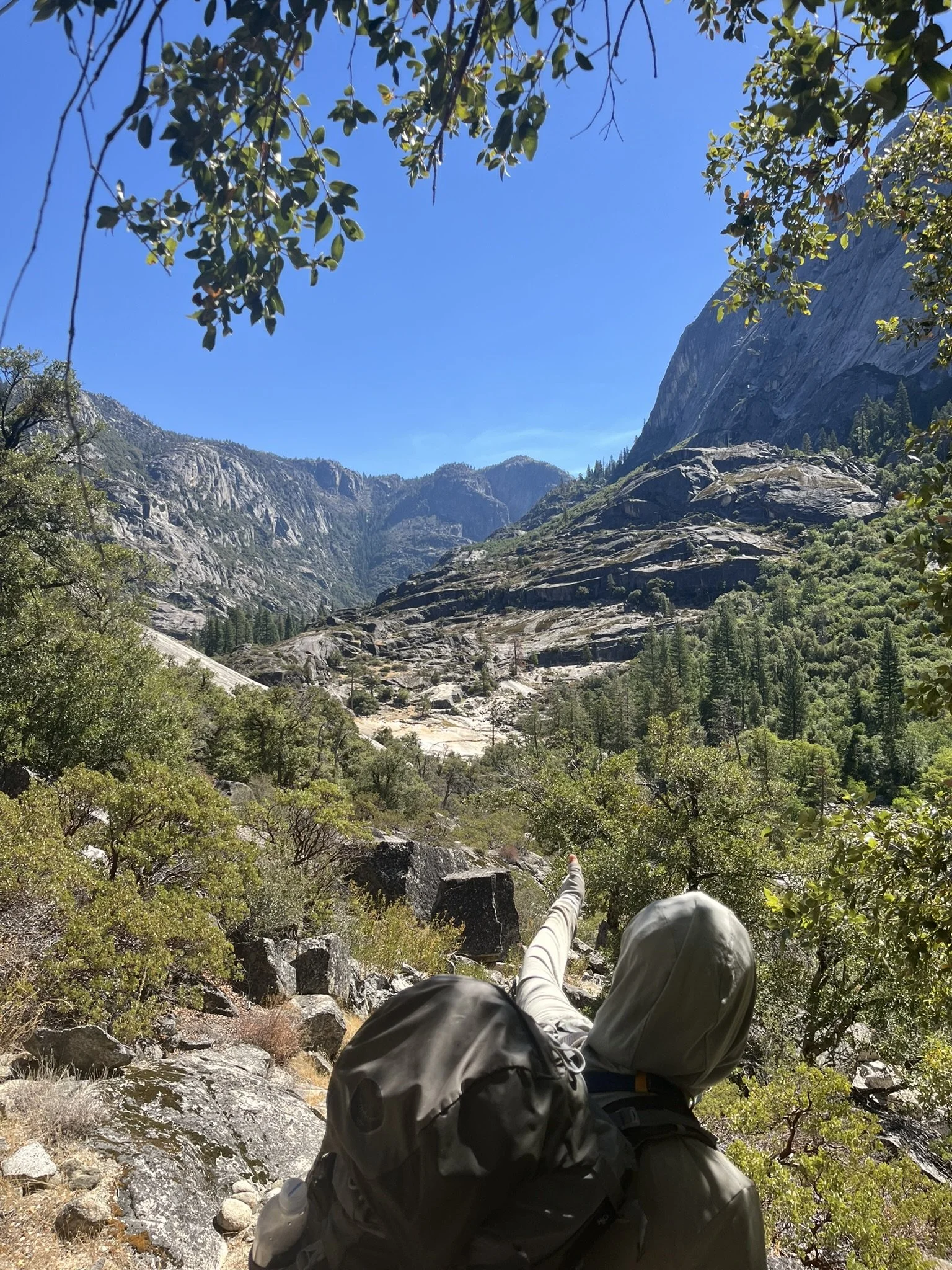
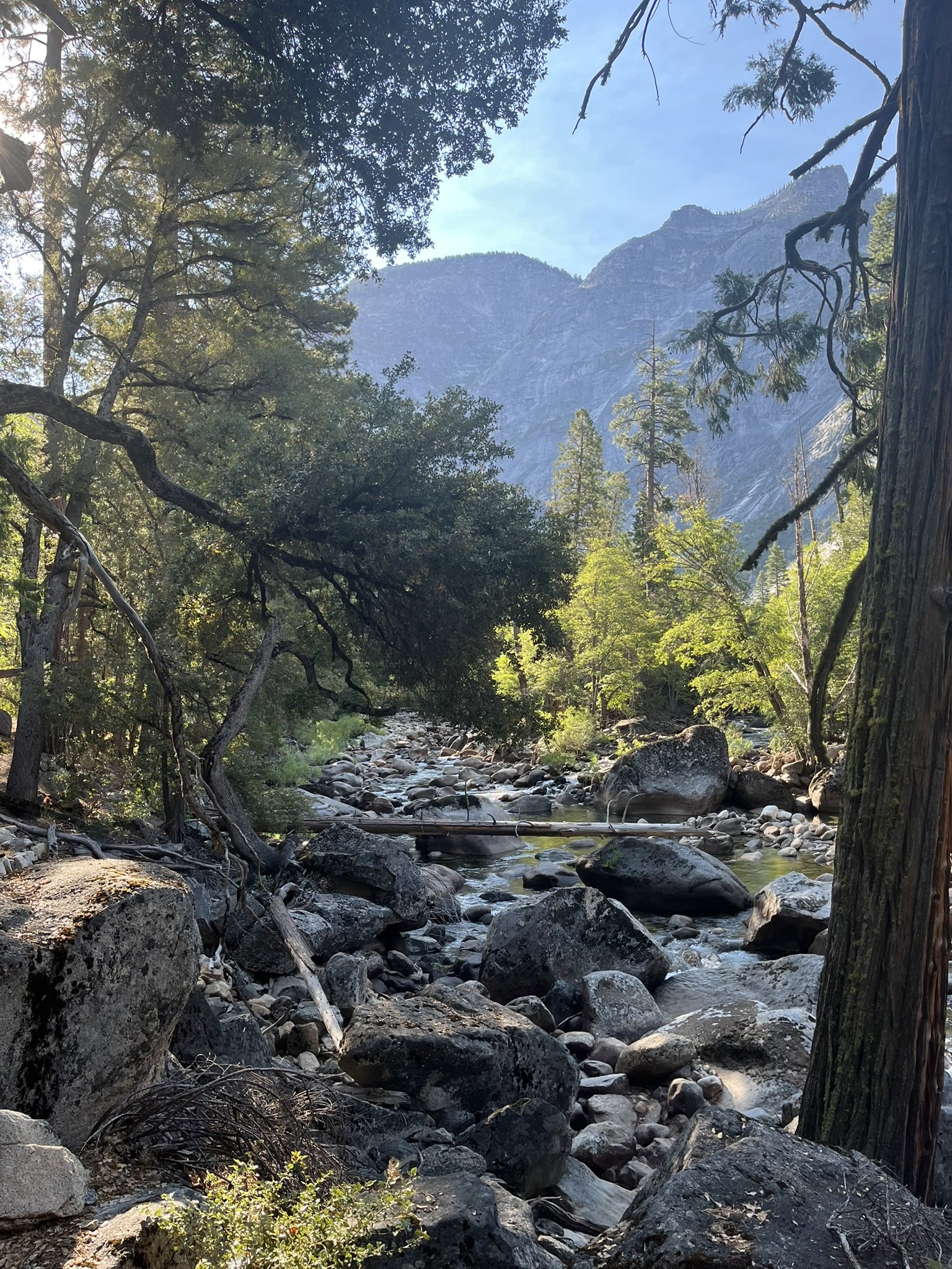
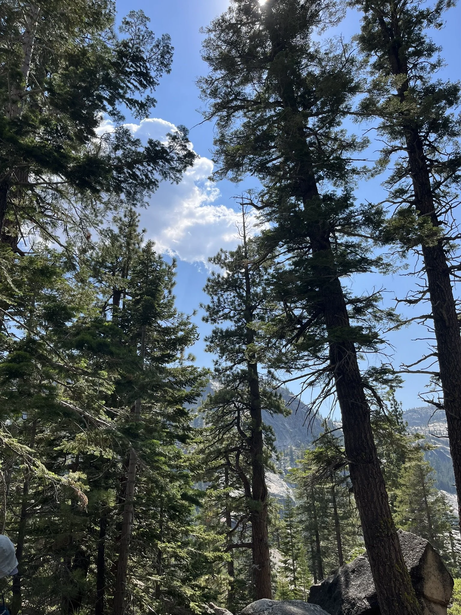
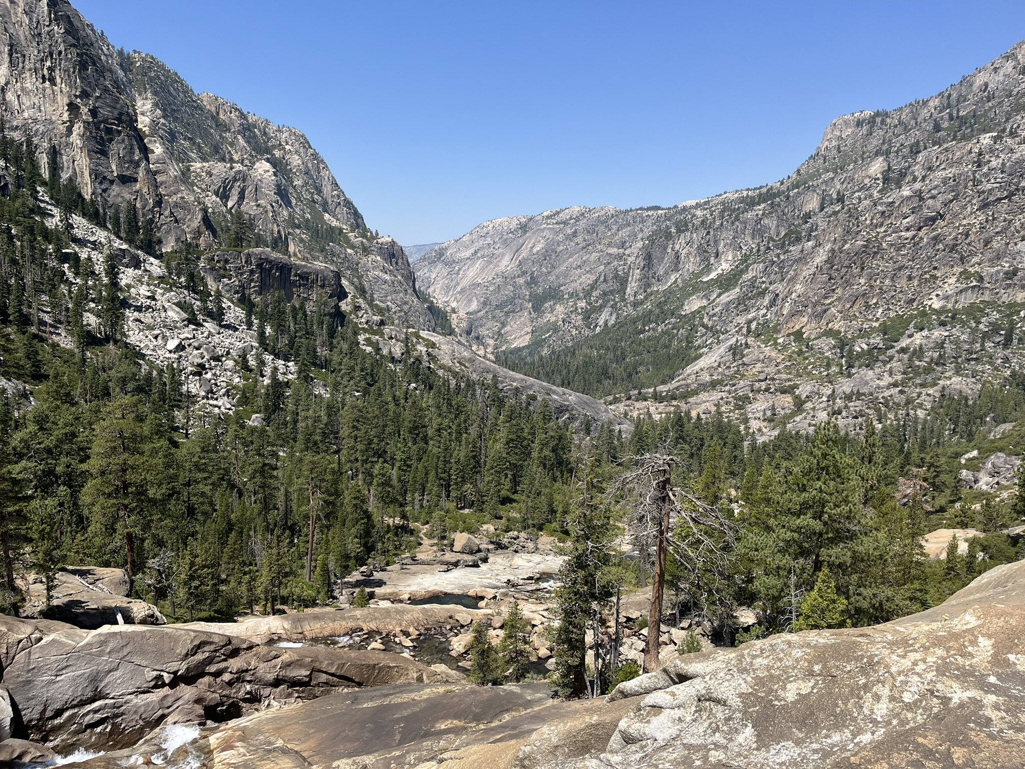
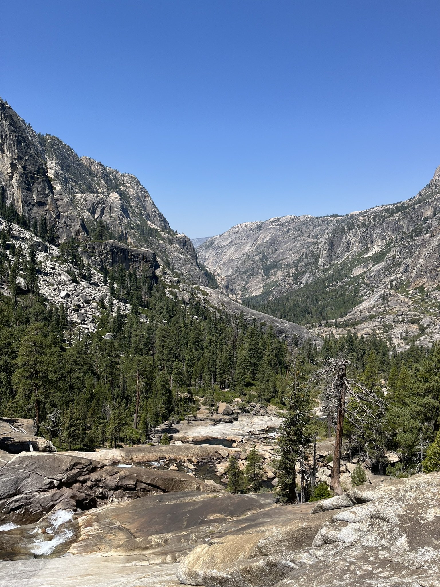
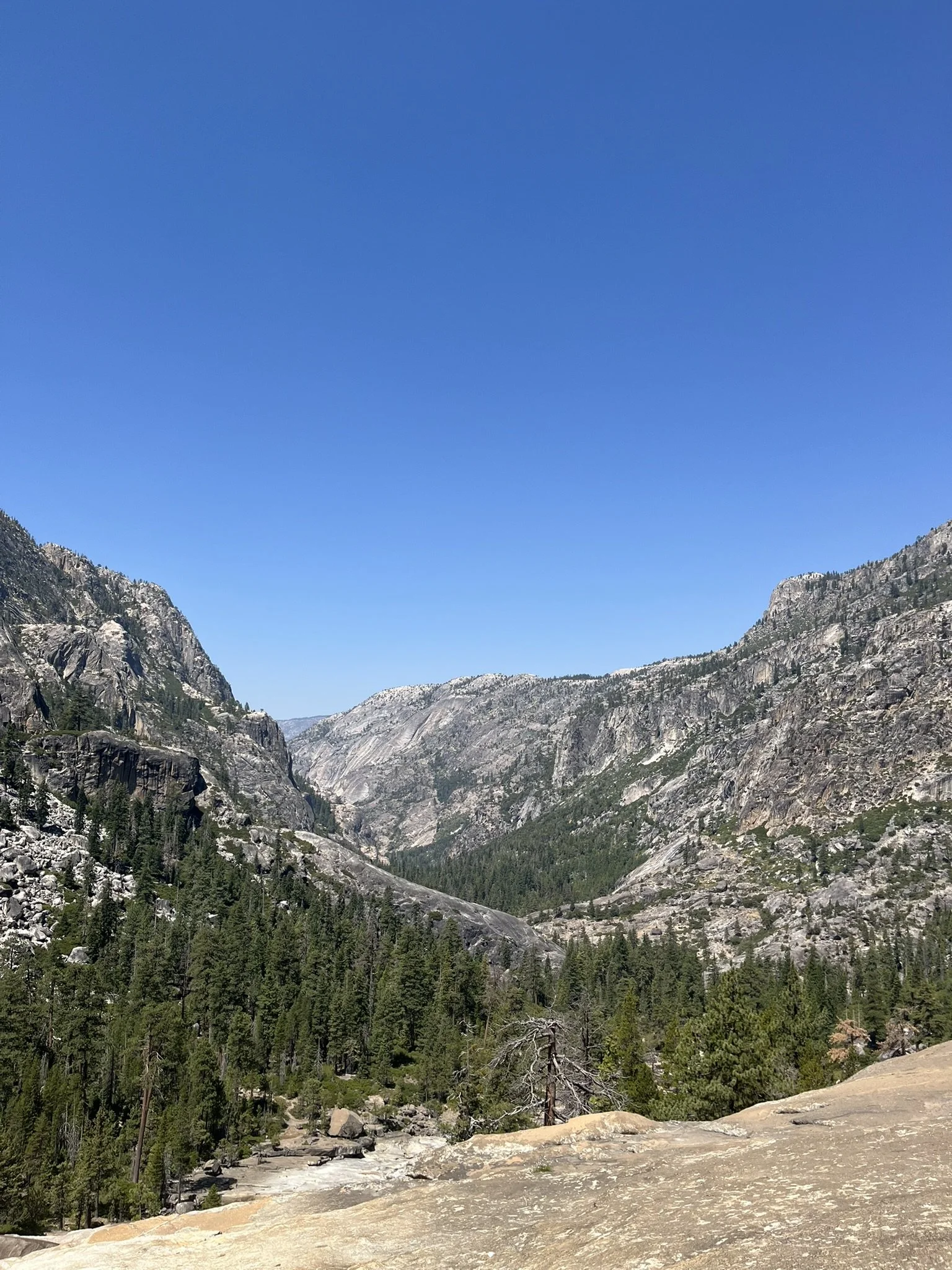
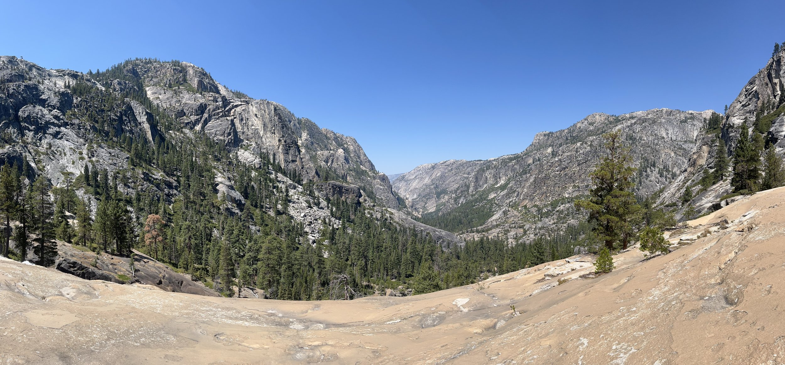
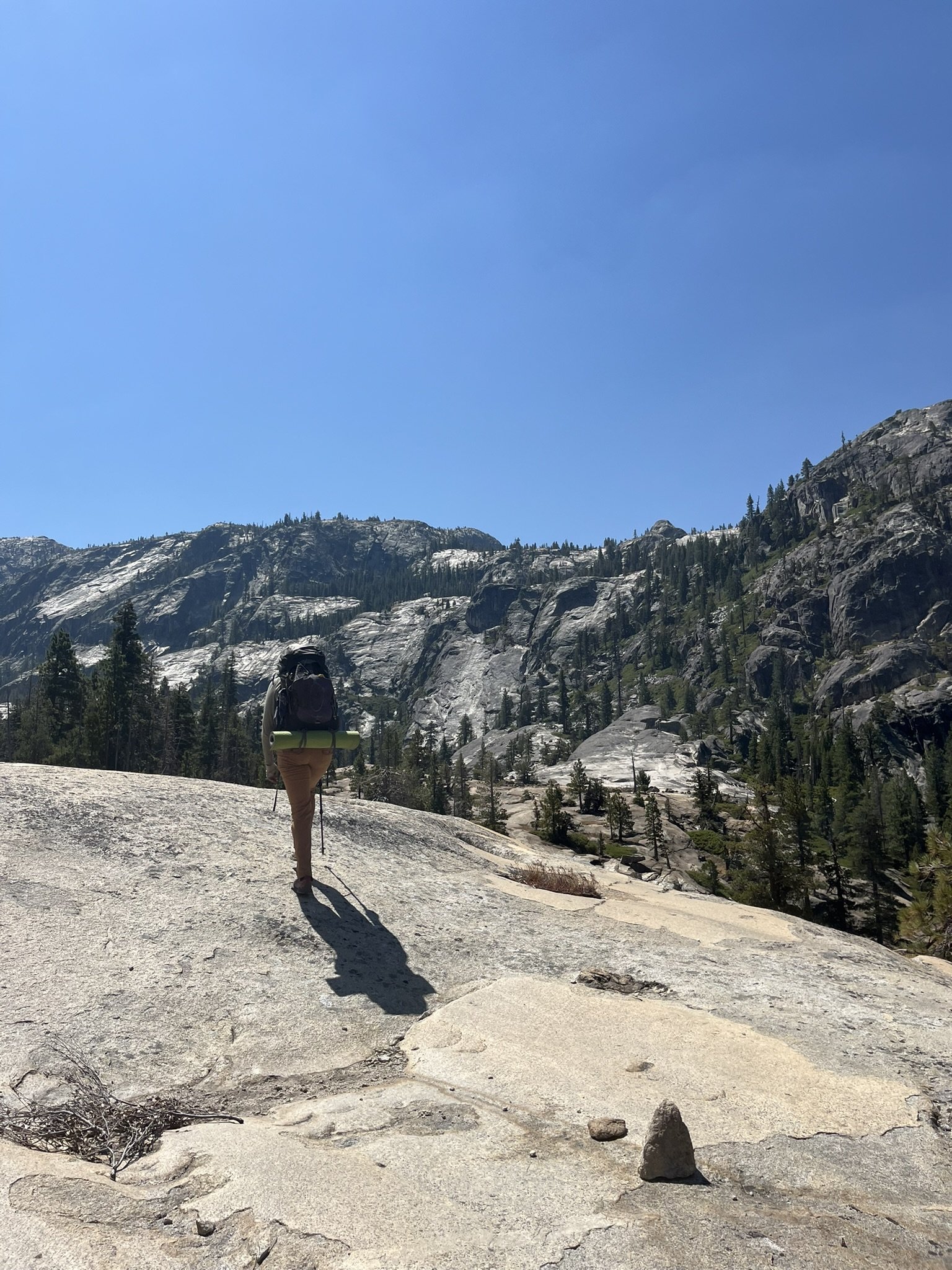
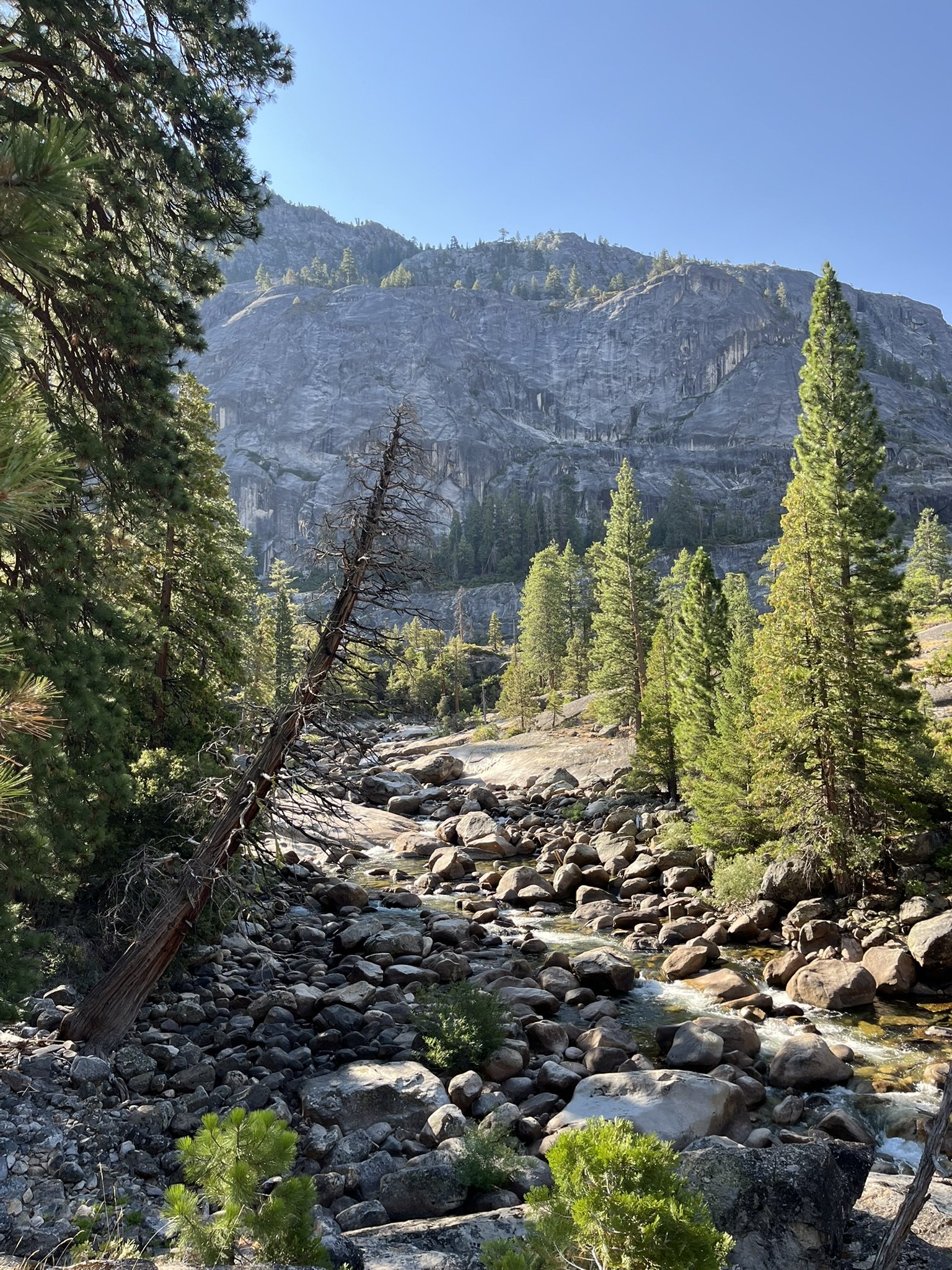
Day 3 was a big climbing day. The map had warned of steep gains, and the GPX track confirmed it: more than 3,000 feet of elevation to climb. The trail wasted no time, beginning with endless, grinding switchbacks, each one carving higher above the canyon floor.
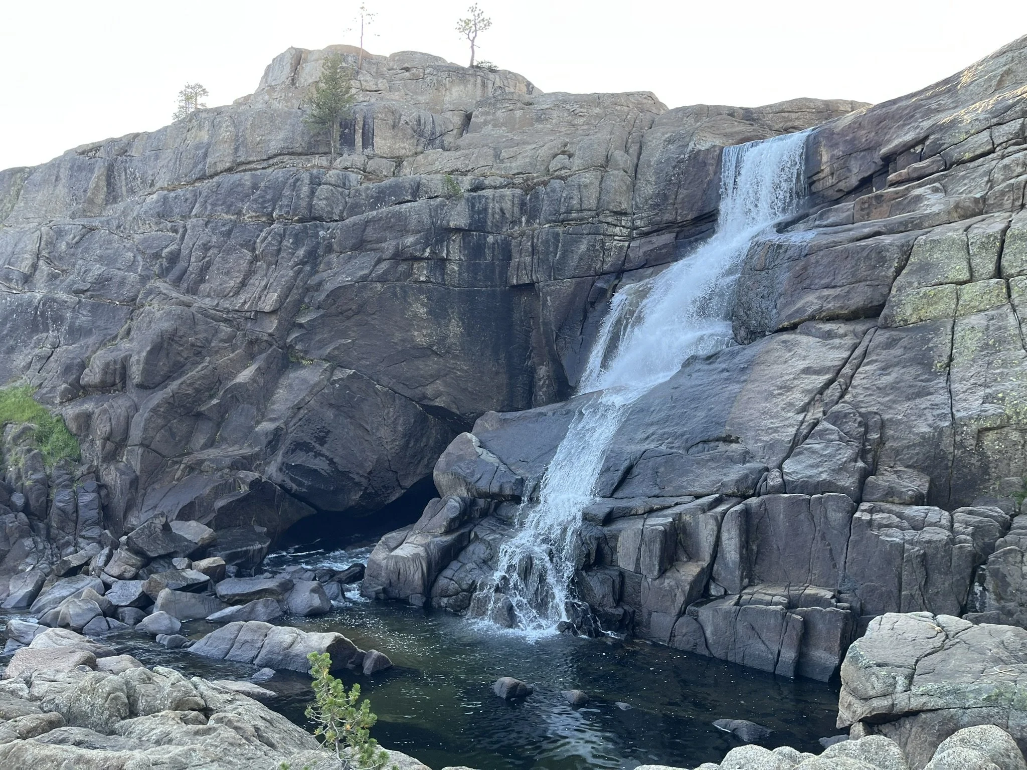
The reward came slowly, but it came. With every step upward, the view widened: first a glimpse of the river far below, then waterfalls reduced to white threads, then the full sweep of the canyon revealed in all its rugged grandeur. It was a spectacular combination — tumbling waterfalls framed by vast valley views, a true triumph of nature.
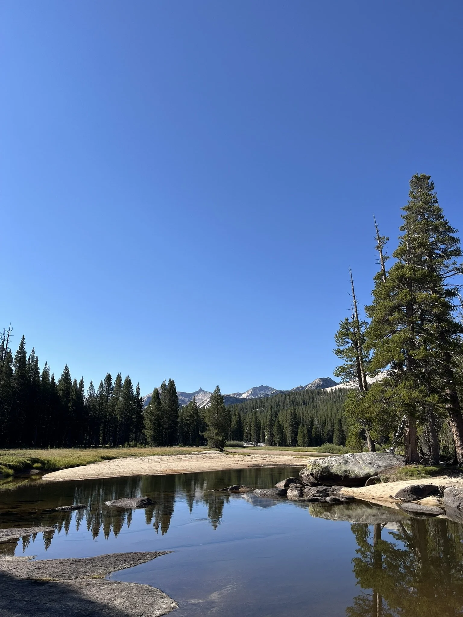
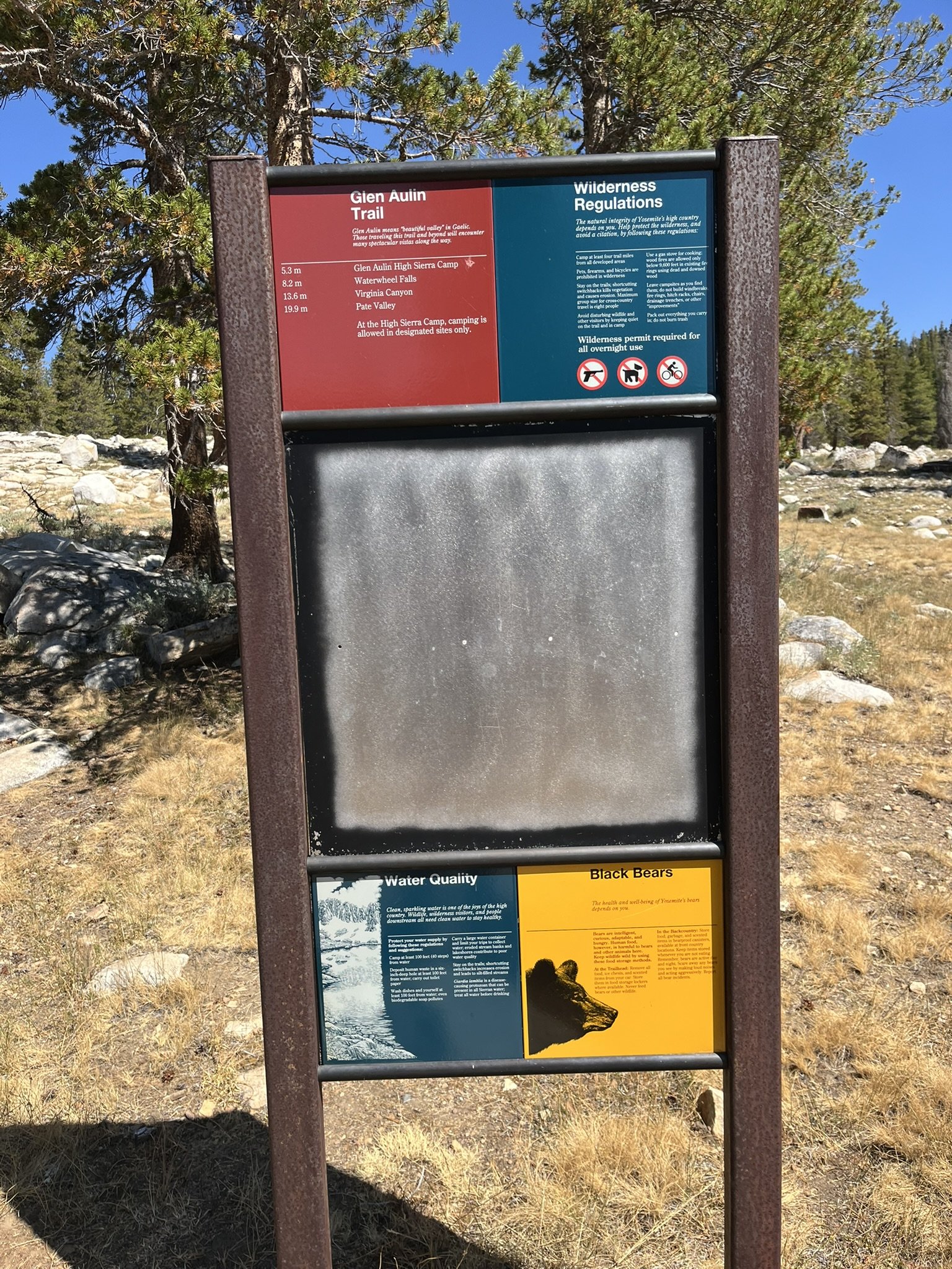
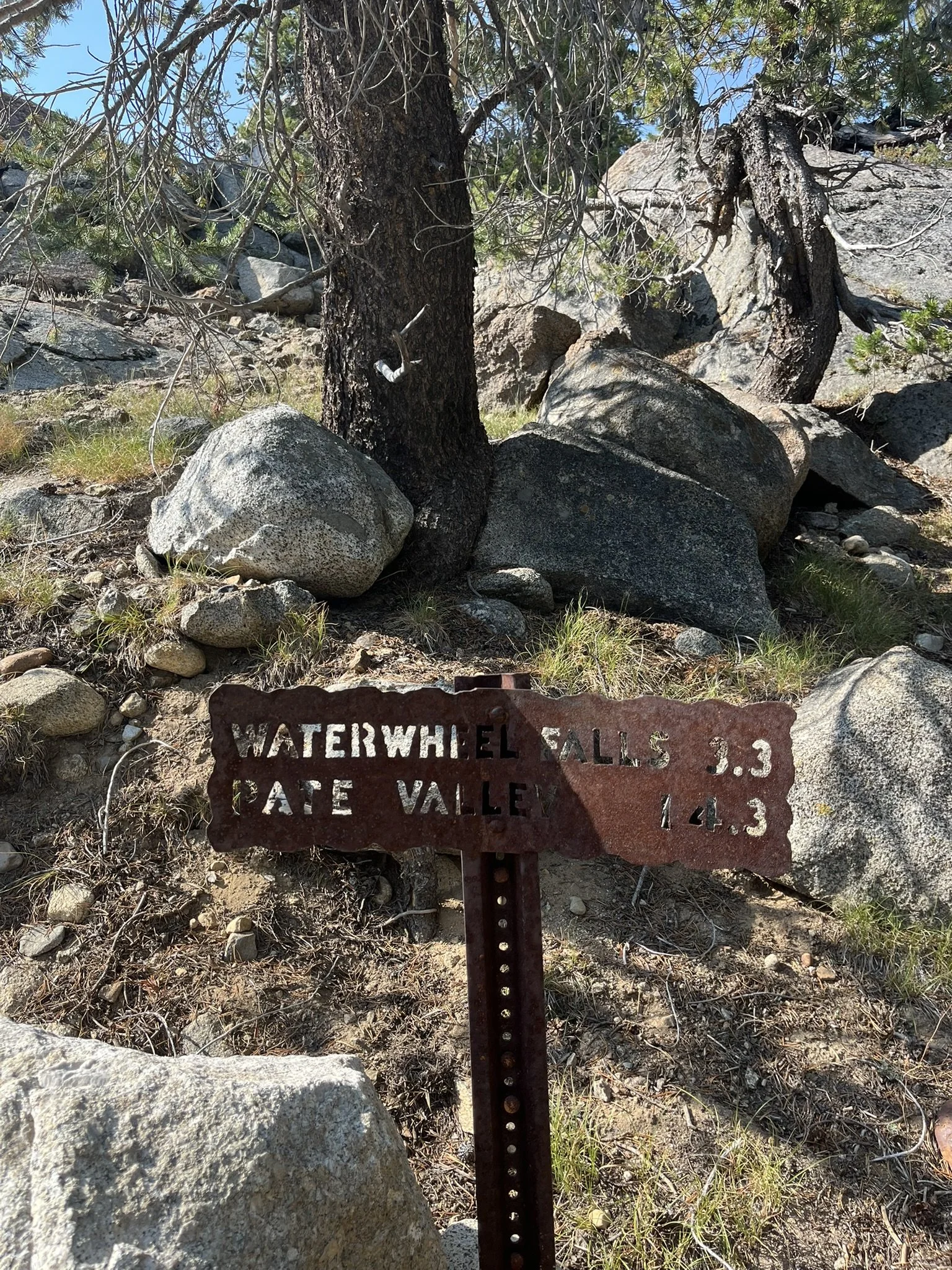
By evening, I reached the Glen Aulin area, not far from Tuolumne Falls and Waterwheel Falls. The higher elevation brought a noticeable chill, so different from the warm nights down in the canyon. Around camp, we shared a few sips from a bourbon flask — enough to warm the body and ease the fatigue of the long climb.


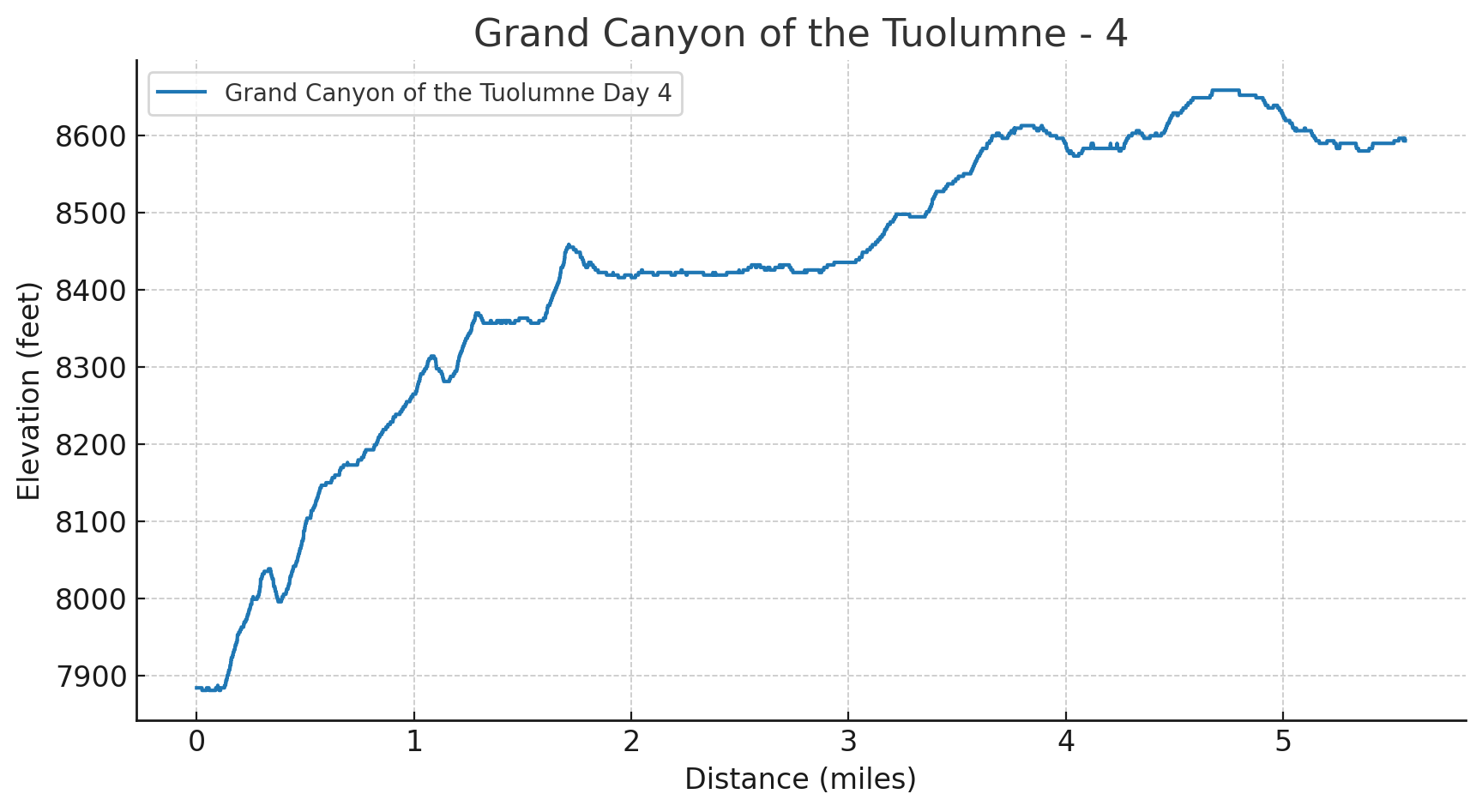
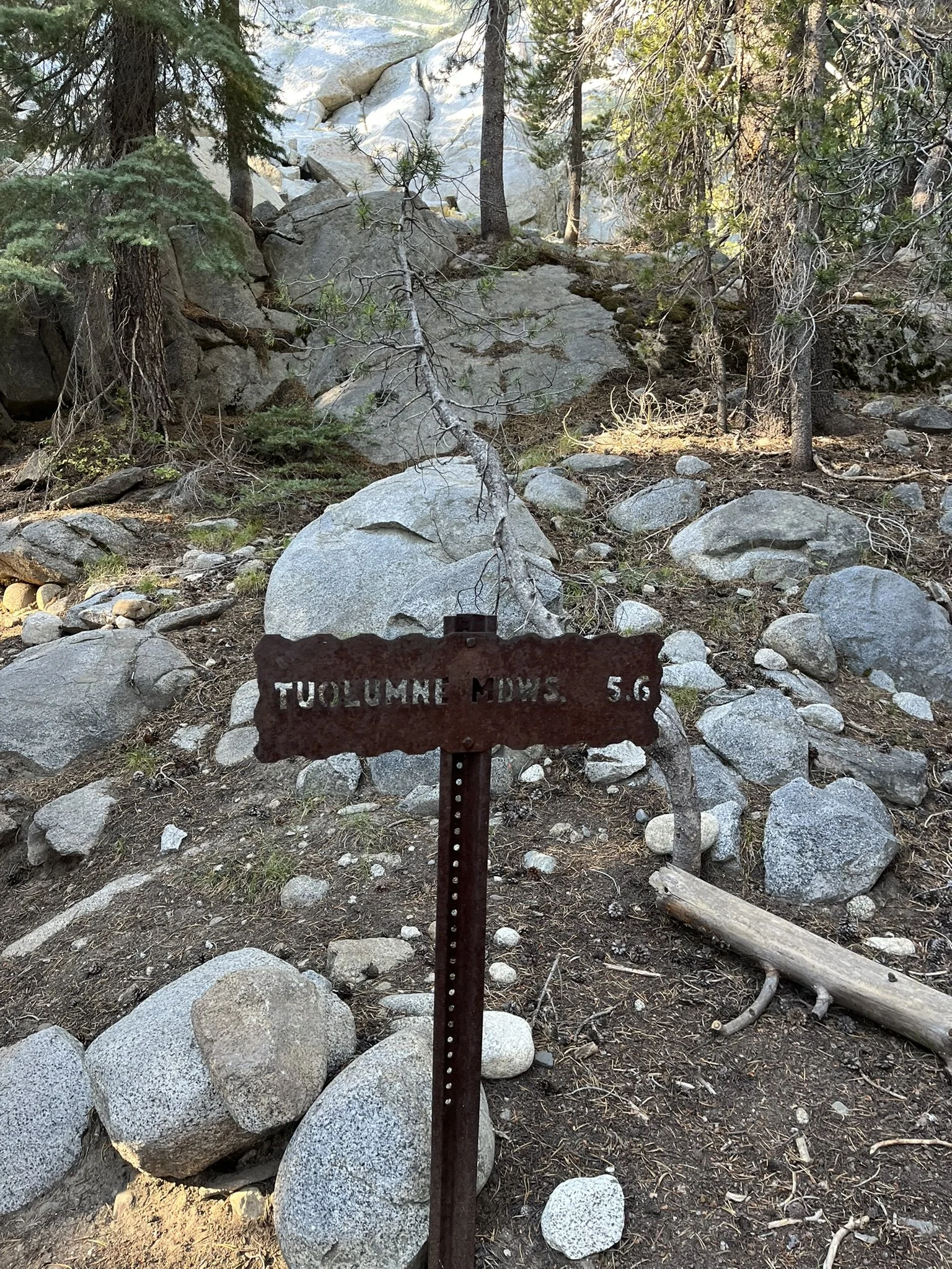
Day 4 – Climbing Out the Canyon
Distance: 5.6 miles
Elevation Gain: 1,184 ft | Loss: 476 ft
Start Elevation: 7,884 ft | End Elevation: 8,593 ft
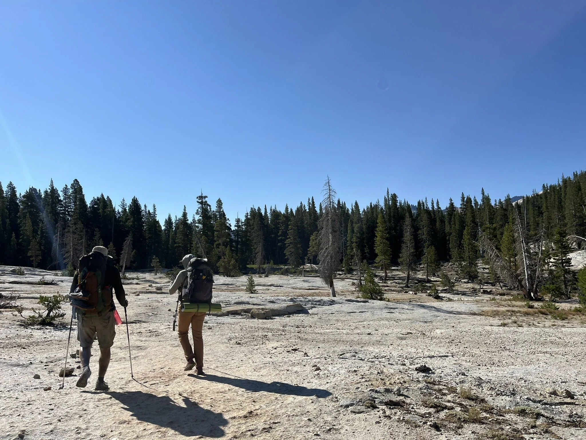
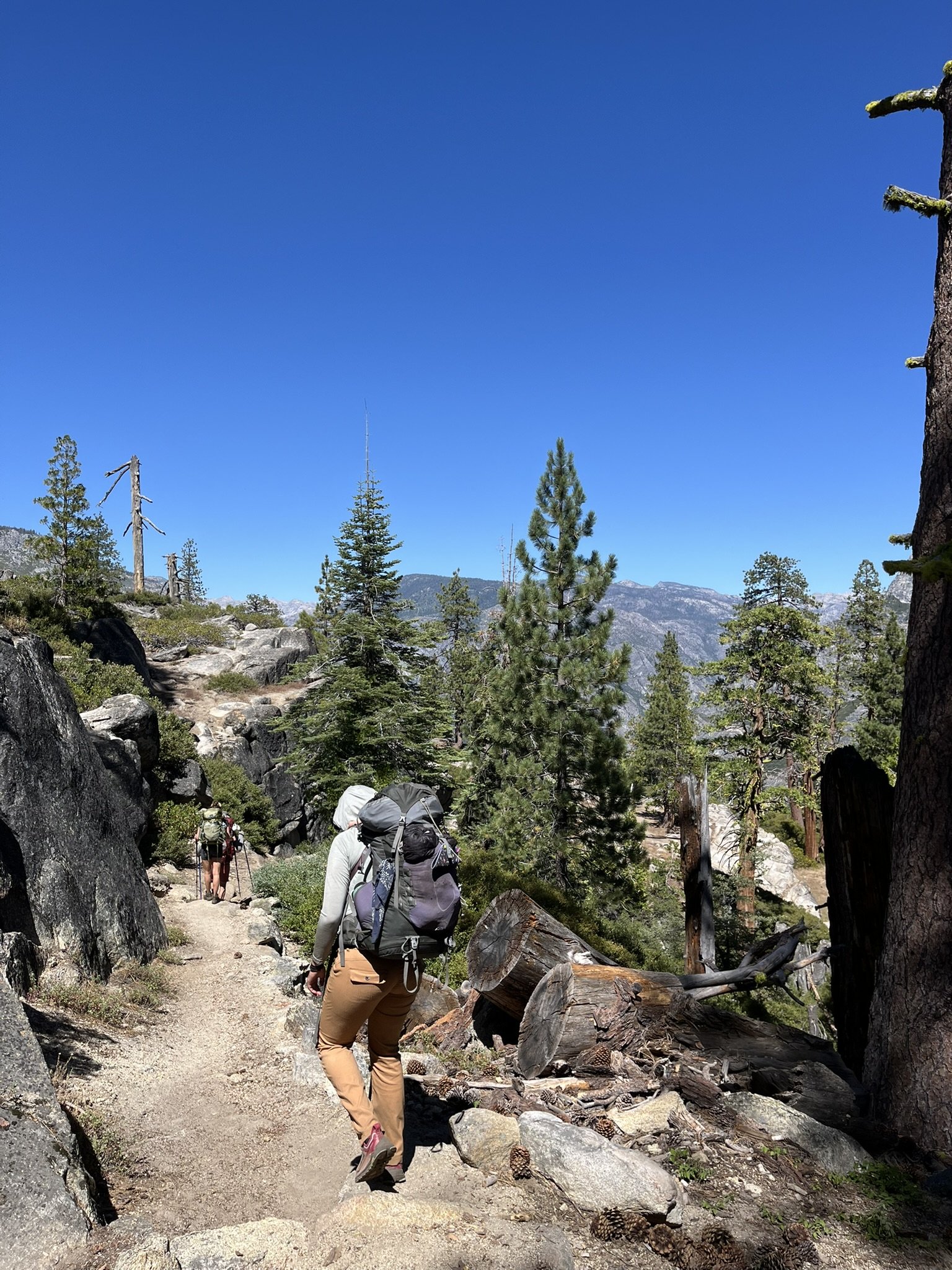
Day 4 was a gentle finale. It began quietly, the forest hushed as if aware of the journey’s end. The trail climbed steadily out of the canyon, a last push that drew on whatever reserves of strength I had left. Each step brought me closer to the rim, to the close of this wild passage.
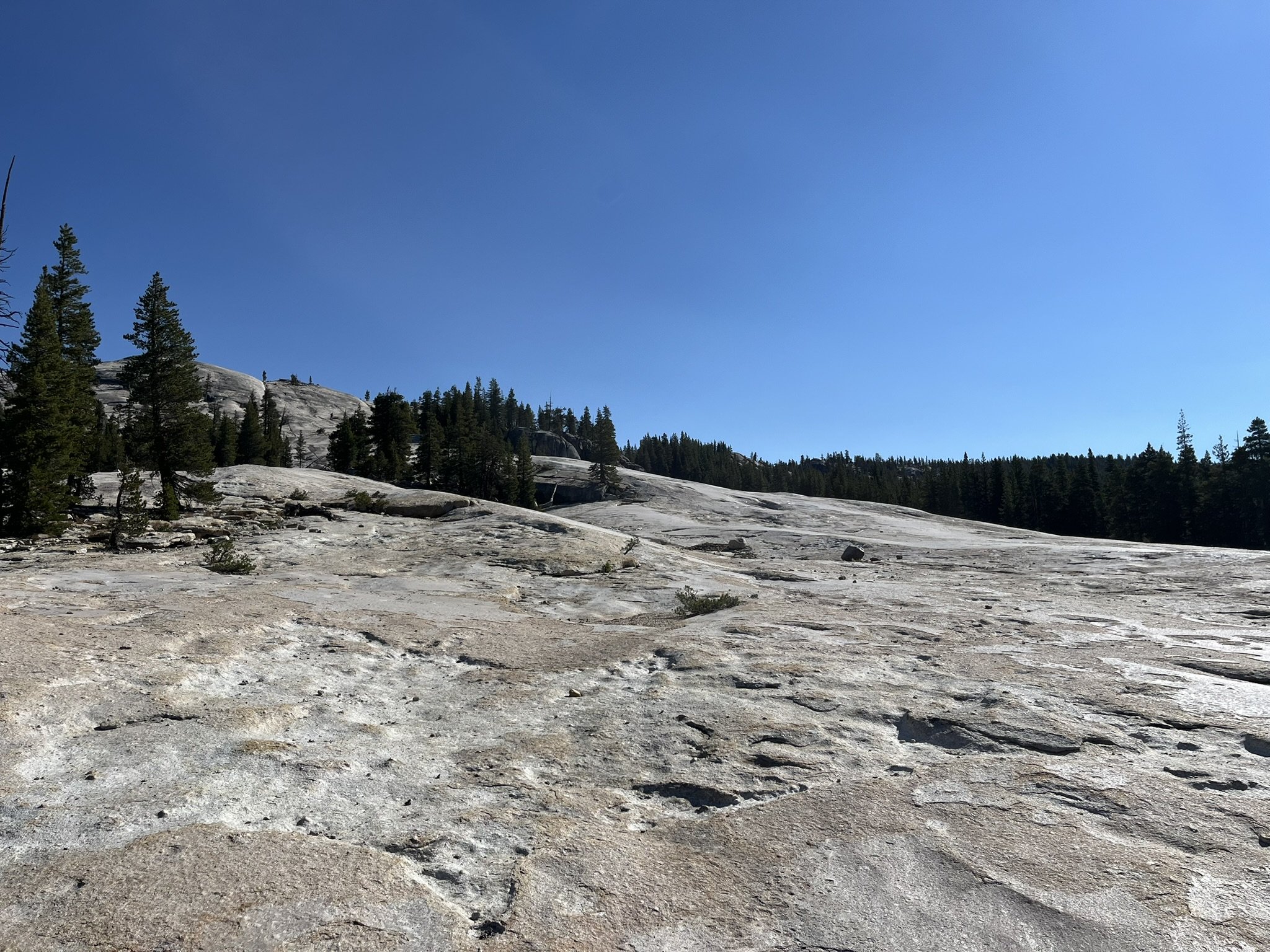
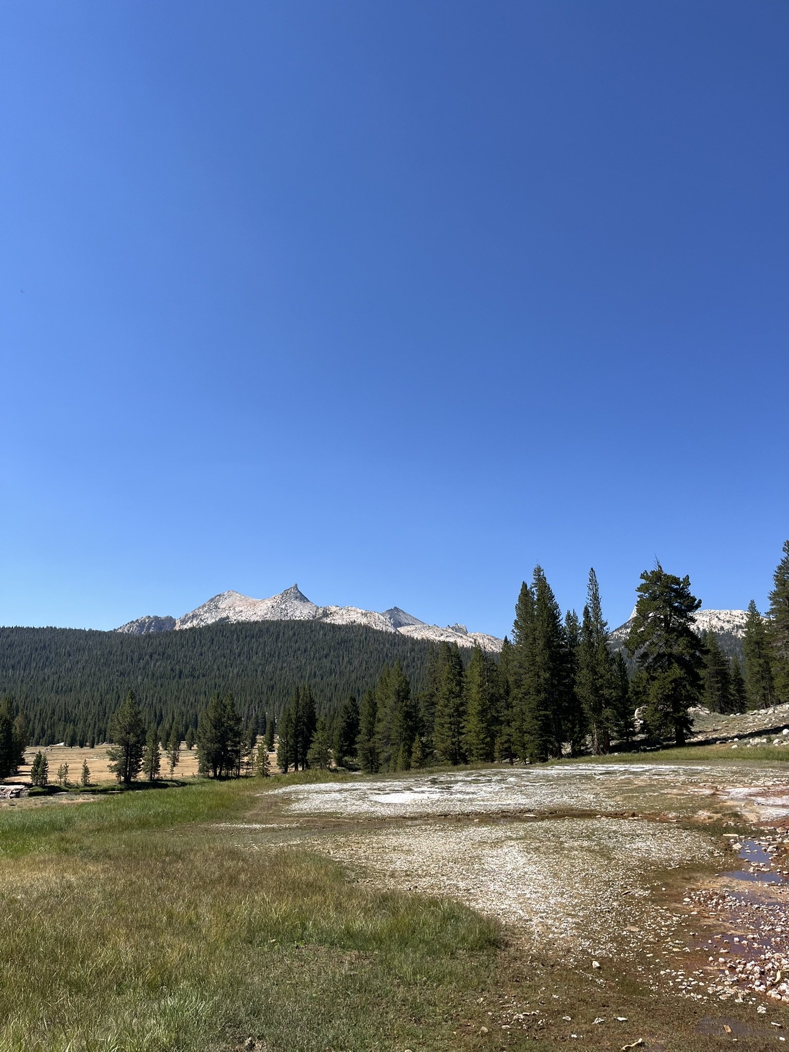
The scenery softened: meadows dotted with wildflowers, scattered pines, and long stretches of open granite. Behind me, the canyon receded — its granite walls now distant, almost unreal — a place I had walked through but would carry with me long after.
Reaching the rim, I paused for one last look. Four days, 31.7 miles, thousands of feet of climbing and descent, and countless small memories woven together by the river’s song. The Grand Canyon of the Tuolumne had demanded effort, but repaid it with some of the most spectacular views in all of Yosemite. A fair trade indeed.
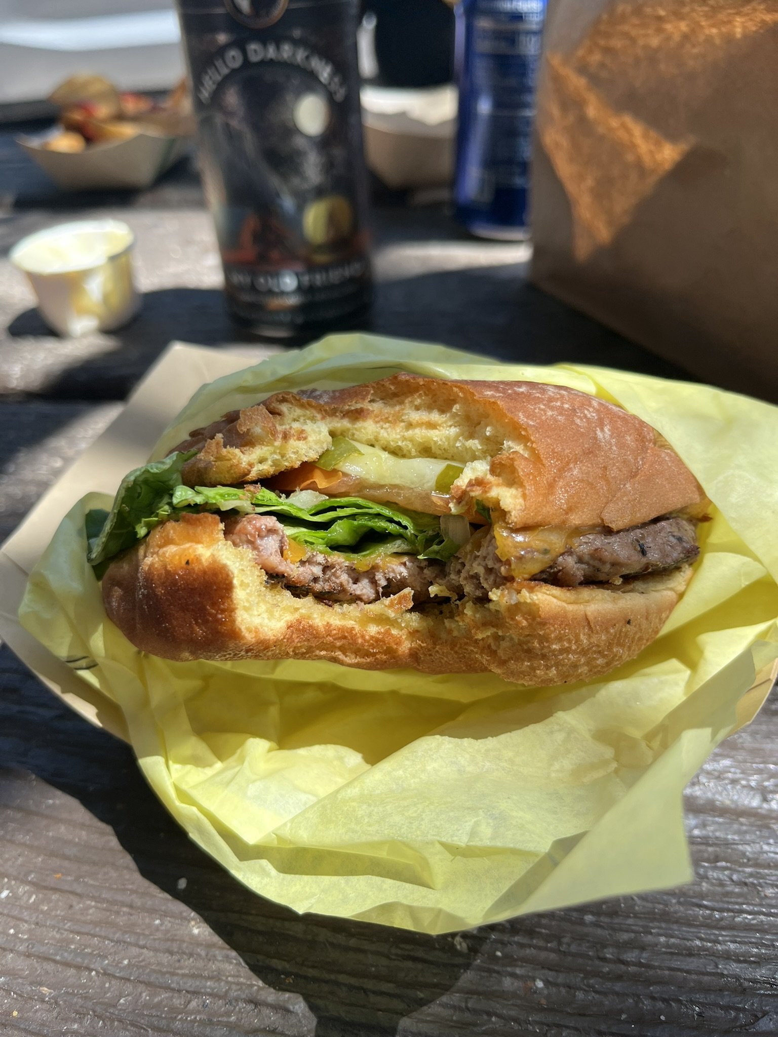
And before returning to the frenetic Bay Area… a well-deserved cheeseburger at the Tuolumne Meadows Grill! :):)